
Heavy Rain, Flooding, and Chance of Severe Weather Staring Down the Southern U.S.
January 22, 2024
Posted: December 20, 2021 1:16 pm


Another atmospheric river is set to deliver a massive amount of moisture to the West Coast this week, potentially snarling travel in the days leading up to the holiday.
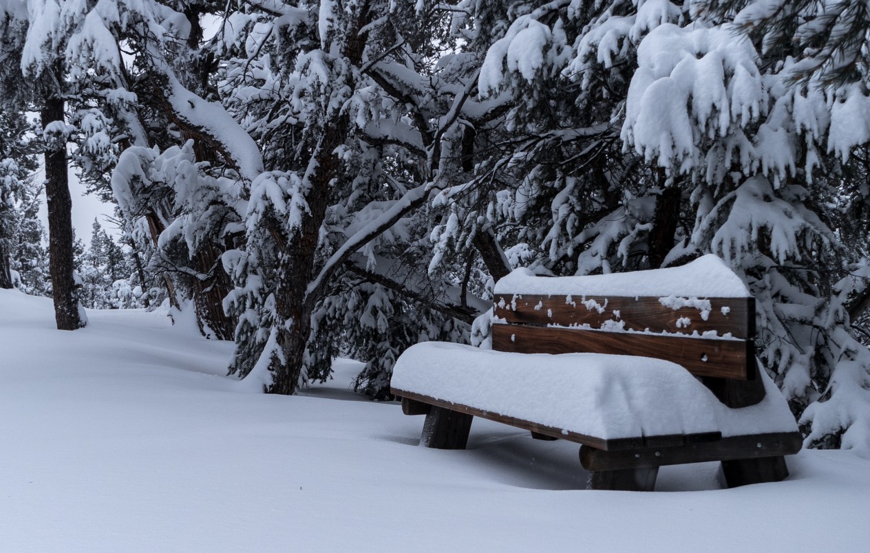
It was a wet weekend throughout the Pacific Northwest, setting the stage for what is to come throughout the week. Portland saw wet snow fall late Saturday and into Sunday, creating a winter wonderland in a city that is generally known for rain. While the snow was beautiful to look at, it melted quickly as temperatures warmed up on Sunday. The city recorded 0.2 of an inch of snow.
Although the snow did not stick to the roads in and around Portland, heavier precipitation in Corbett in Multnomah County created slippery conditions. Farther north in Camp Bonneville, Washington, up to four inches of snow was measured while Camas saw 2.8 inches of accumulation.
This snow is in addition to the heavy rain that fell up and down the California coast earlier in the week. Over three inches of rain fell in San Francisco on December 13 before the system moved farther to the south and dropped over two inches of rain in downtown Los Angeles on the following day.
The story will be slightly different over the next few days as the precipitation stays in the northern section of the West while the Southwest is forecast to continue to be dry until the end of the week. It will be later in the week before this rain moves into the Desert Southwest and Southern California.
The Pacific Northwest will bear the brunt of this particular atmospheric river. The snow has already changed over to rain in the Portland area and will expand farther to the east, stretching as far as Montana. The exact location of the rain and snow will vary each day, however, residents of Oregon, Washington, Idaho, and Montana should all be ready for some degree of precipitation throughout the week.
The precipitation line will track to the north on Monday. By Tuesday, the system will once again shift toward the south. A new cold front will move in from the coast, dropping the temperature and potentially the snow line in the process.
A bigger storm is forecast to develop later on Wednesday, bringing rain and snow in an area stretching from Oregon down into Southern California. This storm will set up as a result of a significant dip in the jet stream.
Residents of Sacramento, San Francisco, Los Angeles, and beyond will likely see about one to two inches of rain by Friday morning. The higher terrains will see snow out of this system. Up to six inches of snow may fall in Reno with more than a foot expected in parts of the Oregon Cascades and the Sierra Nevada.
The heavy snow may trigger local flash flooding and the potential of mudslides, particularly in burn scar areas. If you are hitting the road for grandma’s house in the coming days, it is important to be aware of the possibility of rapidly deteriorating weather conditions.
Although this new atmospheric river and all of its associated moisture may cause travel headaches and shipping disruptions, it is good news for the ongoing drought conditions in the region.
Almost half of the West is under an official drought designation according to the data from the US Drought Monitor. The only part of this region that is not dealing with widespread drought is the soggy Pacific Northwest. The worst drought conditions are currently in Central California.
Looking ahead, the week after Christmas is also shaping up to be full of moisture.

January 21, 2024

January 19, 2024

January 18, 2024
