
Heavy Rain, Flooding, and Chance of Severe Weather Staring Down the Southern U.S.
January 22, 2024
Posted: January 10, 2022 3:15 pm


A large Arctic air mass is making its way into the U.S. to start the week, beginning in the North Central states first before trekking into the Northeast.
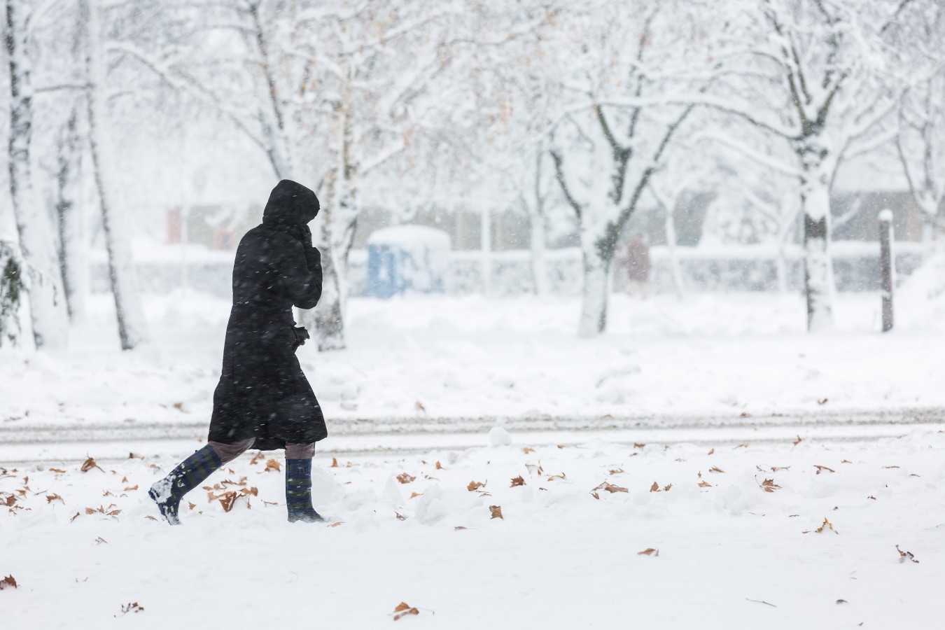
It will be the coldest day of the winter season thus far in some parts of the nation on Tuesday as this air blasts a large part of the northern tier. Bitterly cold temperatures moved into International Falls, Minnesota to start the work week with the mercury reading -22 degrees. Over in Duluth, the temperature dropped to -18 degrees.
Many cities and towns will not see temperatures rise about 0 degrees all day Monday. Chicago will remain in the middle teens to start the week.
On a larger scale, the daily highs for Monday and Tuesday will read about 10 to 20 degrees before normal. Strong winds will make the real feel temperature even colder. Real feel temperatures will be well below zero throughout northern Illinois, northeastern Iowa, and central Michigan.
Lake-effect snow showers will also ignite as the winds change direction. The snow will move to the south and east throughout the day Monday and into Monday. The hardest-hit areas of Michigan and New York state will see accumulations up to two-feet as the lake-effect snow machine gets going.
This cold air mass will help to boost the ice coverage over the Great Lakes. This coverage has been below normal for the year due to the relatively mild fall and early winter temperatures.
The frigid air will shift to the east as the week continues. This bitterly cold weather will send shockwaves through much of the Northeast and mid-Atlantic. Records may fall on Tuesday as the Arctic air drops down from Canada into the northern tier of the U.S. The lowest temperatures so far this year in New York City is 19 degrees. Tuesday’s high is only forecast to hit 18 degrees.
The Tuesday high temperature for Boston is forecast to hover in the lower teens. This anticipated reading is over 30 degrees below the average of the upper 30s for this time of the year. Officials in Boston have already closed schools on Tuesday in anticipation of the bitter cold.
The northern reaches of Maine are not expected to make it over the zero-degree mark on Tuesday.
Forecasters are warning that the gusty winds will make temperatures feel up to 10 degrees lower than the actual air temperature. In addition to taking care to bundle up properly, you also need to stock your vehicle with an emergency cold weather kit and prep your home for the arrival of frigid air.
Wednesday will be slightly warmer as the col air moves off of the coast. However, the high temperature for the middle of the week is still expected to be around 10 degrees below average. Both Boston and New York City will be lucky to hit the freezing mark of 32 degrees on Monday.
A new Alberta clipper is expected to plunge down from Canada on Wednesday, bringing another chance of snow to the Great Lakes and the Northeast to close out the week. At this time, accumulations are expected to be light.

January 21, 2024

January 19, 2024

January 18, 2024
