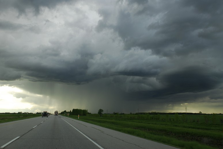
Heavy Rain, Flooding, and Chance of Severe Weather Staring Down the Southern U.S.
January 22, 2024
Posted: May 5, 2021 9:06 am


It is definitely that time of the year when spring severe weather is the norm. The first full week of May has been a doozy for the eastern part of the US, putting hundreds of millions of people in the path of potentially damaging thunderstorms.
The active weather pattern fired up again early in the week as a system moved off of the Rocky Mountains and generate storms stretching from eastern Oklahoma, into southern Missouri and northern Arkansas, and up into the lower Ohio Valley.
These storms have been the result of a series of disturbances in the high atmosphere meeting with the warm and humid air that is trekking ahead of the systems. The active weather pattern is bringing the potential of large hail, strong wind gusts, and the potential of flash flooding.
Tuesday brought the threat of more severe weather in a large swath of land along the Gulf Coast and the southcentral US. A mass of humid air moved up through the Gulf states to merge with the storm systems that caused havoc on Monday through the Ohio Valley. This collision of systems will spur the development of thunderstorms through at least Wednesday.
The greatest threat of severe weather on Tuesday centered farther south than Monday’s action, targeting the cities of Baton Rouge, Louisiana, Jackson, Mississippi, Birmingham and Montgomery, Alabama, Nashville, and Atlanta. This system may even stretch as far north as Louisville, Kentucky, and Charleston, West Virginia.
This particular system has a significant chance of spawning tornadoes. While there may be large hail and damaging winds that come out of this weather system, the flooding chances will be relatively low thanks to the swift movement of the line of storms. However, areas in the South that experienced a high amount of rainfall in April will be at risk of flash flooding because of the existing saturated ground.
Today, the risk of severe weather will be the greatest along the Southeast and mid-Atlantic coastal regions. The storms will finally move offshore late Wednesday and into Thursday as cool air moves into the Midwest and Northeast and tampers the activity.
The severe weather to start the work week follows on the heels of significant tornadic activity throughout Mississippi on Sunday. One massive tornado struck the city of Tupelo on Sunday night, destroying homes and structures in its path. According to the National Weather Service Storm Prediction Center, at least 19 tornadoes were recorded in Mississippi in addition to a twister in Louisiana. There were also a few tornadoes recorded along the Front Range of Colorado and in the central Plains to end the weekend.

January 21, 2024

January 19, 2024

January 18, 2024