Heavy Rain, Flooding, and Chance of Severe Weather Staring Down the Southern U.S.
January 22, 2024
Posted: July 17, 2021 10:45 am


It has been awfully quiet in the Atlantic basin after Elsa spent days churning around from the Caribbean all the way up into Atlantic Canada. However, just as the Atlantic is getting a breather from the tropical weather, the East Pacific is beginning to see more activity.
While there are no serious areas of concern in the Atlantic, there are a few areas that are being monitored by the National Hurricane Center (NHC). Out in the southern reaches of the Atlantic Ocean, a handful of tropical waves are moving from east to west. Although these waves are not presenting any immediate threat, they have the potential to strengthen into a tropical depression or storm when they encounter favorable environmental conditions.
It should be noted that Hurricane Elsa was the result of what was once a mere tropical wave that came off of the western coast of Africa. However, because of dry air and strong wind shear in the region, the current tropical waves are not expected to intensify over the next several days.
Forecasters are also keeping an eye on a development that is located within a few hundred miles south of the island of Bermuda. This zone could potentially develop into an area of concern by early next week. This area of non-tropical low pressure is moving to the west, meaning it will begin to move into warmer waters. This increase in water temperature may provide the conditions necessary to support further intensification.
An additional non-tropical feature north of Bermuda is also on the radar of forecasters. The feature is currently attached to a previous frontal zone, keeping it from developing further. However, if the feature is able to detach itself from this front, it may have the opportunity to organize and strengthen into something of note.
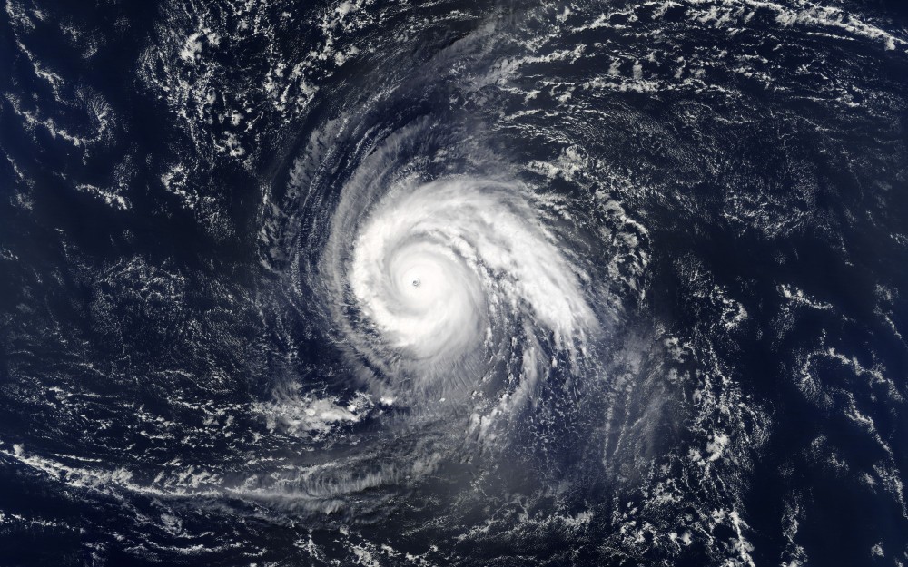
While it is calm and quiet in the Atlantic for the most part, the East Pacific basin is starting to show signs of activity. Hurricane Felicia formed early Thursday morning as a Category 1 storm after intensifying from a tropical depression into a tropical storm just the day before. Felicia is located approximately 650 miles south-southwest from the tip of Baja California, Mexico.
The storm is producing maximum sustained winds of 90 mph as it treks towards the west at a speed of 12 mph. Felicia has strengthen into a Category 4 storm Friday afternoon as it reaches maximum sustained winds of 130 mph.

The good news is that Felicia is not expected to directly impact land as it continues to move away from the Baja Peninsula throughout the weekend. However, the storm may deliver large swells and rough surf conditions to Baja California Sur.
An additional area of interest in the East Pacific is on the radar of forecasters. This area of low pressure is positioned farther east of Felicia. Forecasters expect that this area will develop into something of note later this week to the south of the Gulf of Tehuantepec.
Favorable environmental conditions around this low pressure will likely help to fuel this development. The potential for this feature to strengthen into a tropical depression or storm are high at this point.
The next name up for an East Pacific storm is Guillermo.

January 21, 2024

January 19, 2024

January 18, 2024