
Heavy Rain, Flooding, and Chance of Severe Weather Staring Down the Southern U.S.
January 22, 2024
Posted: June 27, 2022 12:37 pm


Monsoonal Moisture Helps to Tame Wildfires in Southwest
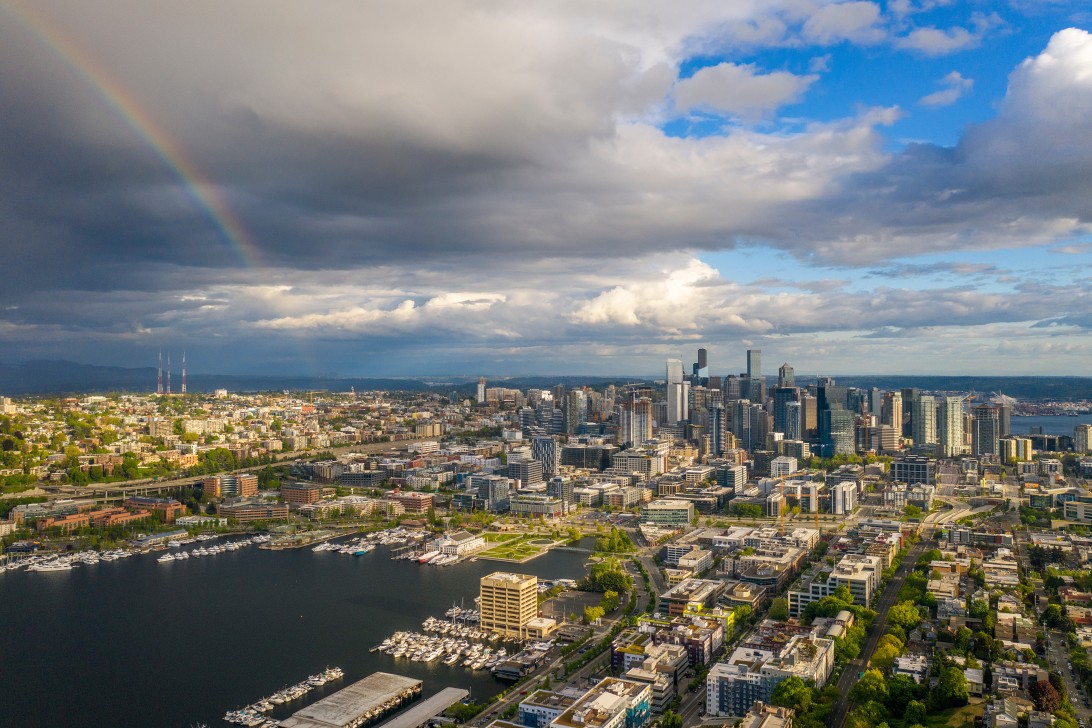
It was a scorcher of a weekend in the Pacific Northwest, particularly when compared to the normal highs for the end of June in this corner of the country. After a hot start to the week, the region will begin to cool down and see more moderate temperatures for the balance of June.
The heatwave set in beginning on Saturday with the mercury hitting 93 degrees in Portland and soaring to 87 degrees in Seattle. Temperatures typically hover in the 70s for this time of the year. The heat felt even more palpable when compared to the conditions over the last several months when the region saw a cooler and wetter than average spring. For instance, the temperature readings in May were almost 5 degrees below average for Seattle.
This unseasonably cool spring was blamed on a drastic dip in the jet stream that brought down the colder and wetter conditions from Canada. However, as the jet stream lifted to the north, the cloud cover and rain have stayed away from the Pacific Northwest. This change in the atmospheric pattern ushered in the warm temperatures that the region saw over the weekend.
The start to the work week will be another toasty day for the region. While the mercury will not get quite as high as the weekend’s readings, the bulk of the Northwest will still see temperatures settle into the low 90s.
It will be even hotter as you move to the south. For instance, Medford, Oregon will see temperatures approach the century mark on Monday after experiencing readings above 100 degrees on Sunday. Redding, California has seen readings above 100 degrees for the last several days with more on tap for Monday.
Monday is predicted to bring the warmest weather of the year for much of the Northwest. Moving farther inland to the east, the heat will also be on throughout the interior portions of the Northwest. For example, residents in Boise, Idaho are likely to see the first reading north of 100 degrees for the season with a forecast of 101 degrees for the day.
If you are already tired of the heat, you will be happy to learn that relief is on the way. The temperatures will plummet over 20 degrees in some areas by Tuesday. For instance, Seattle will top out at about 70 degrees on Tuesday after seeing a high in the low 90s on Monday. Wednesday’s forecast is even cooler with highs only in the mid-60s. A slight rebound to more seasonable readings in the 70s is predicted heading into the holiday weekend. It will only be slightly warmer in the Portland area.
This cooldown will be triggered by low pressure coming in from the north on Tuesday and Wednesday. This movement will allow the jet stream to drop to the south, ushering in the cooler air mass from the north once more. Despite the cooling temperatures, most of the region will stay dry with rain mostly following along the coastal areas.
On the opposite end of the West Coast, the parade of monsoonal storms will continue to march across the Desert Southwest to start the week. As is typical for this type of weather pattern, the storms are most likely to fire up in the afternoon and evening hours. Even though monsoon season is now underway, the precipitation has barely made a dent in the ongoing drought in the Southwest. Water reservoirs have dropped to levels never seen before.
The latest data from the U.S. Drought Monitor has the entire state of New Mexico under a drought with over half under the designation of an exceptional drought, representing the most serious category. Over in Arizona, 98% of the state is under some level of drought designation.
Although the drought is still in full swing, the recent monsoonal rain has assisted fire crews in getting the latest wildfires in the region under control. Particularly in New Mexico, the moisture is forecast to mitigate the threat of new fires in the coming weeks.
After Monday’s forecasted rainfall, the area is expected to dry out for a few days. However, forecasters are hopeful that the start of July will bring in new rounds of precipitation to the parched area.
Sharing is caring! Did you find this content useful? Feel free to bookmark or to post to your timeline for reference later!

January 21, 2024

January 19, 2024

January 18, 2024
