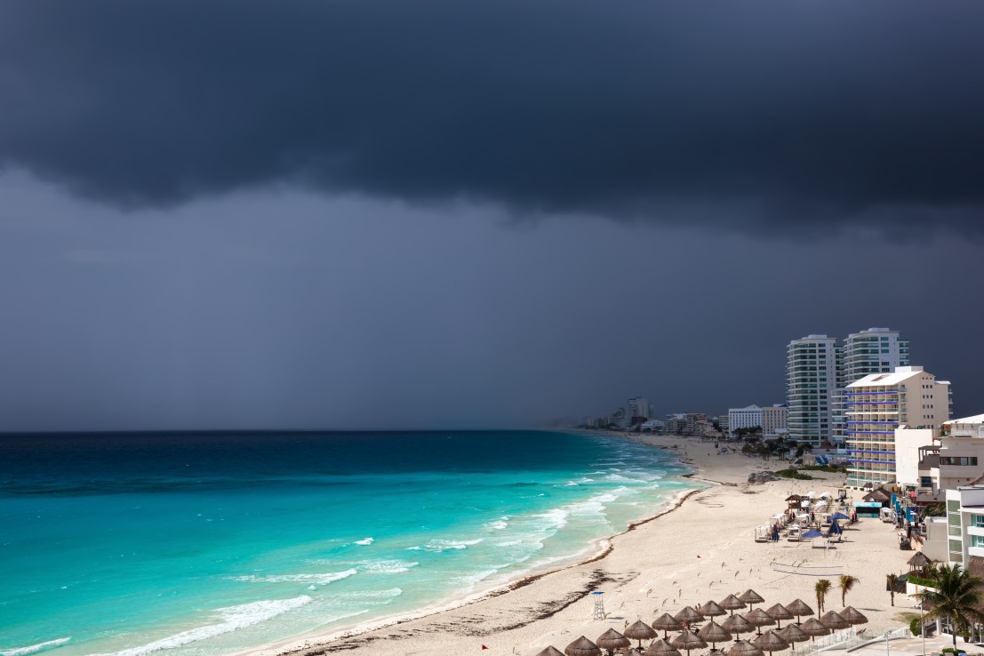
Heavy Rain, Flooding, and Chance of Severe Weather Staring Down the Southern U.S.
January 22, 2024
Posted: June 27, 2021 11:32 am


Although the Atlantic hurricane season has been relatively quiet in recent weeks, the Pacific is making up for this period of rest. The first hurricane of the season ignited over the eastern Pacific early Saturday, reminding everyone that the threat of tropical weather at this time of the year is real.
Hurricane Enrique was born in the early morning hours of Saturday over the eastern Pacific basin. The feature had been meandering throughout the Pacific over the last several days before it was upgraded to a tropical storm early Friday. As of mid-day Saturday, Enrique was boasting wind speeds of about 75 mph, making it a Category 1 hurricane. Enrique is moving toward the west-northwest at a speed of 8 mph.

The storm is expected to encounter warm ocean waters conducive to further intensification with the possibility that Enrique may strengthen into a Category 2 hurricane in the next few days. In addition to the warmer waters in its path, Enrique will not be subject to a high amount of wind shear. This lack of wind shear will help to keep the storm organized as it continues its trek to the northwest.
The center of Enrique is likely to stay in the open waters of the Pacific. However, the southwestern coast of Mexico should be ready for the possibility that the outer rain bands of this system will affect land. This rain may bring an increased risk of flash flooding during the early part of next week.
The coastal region stretching from Acapulco up to Puerto Vallarta will see the highest chance of rain impacts from Enrique. This is the same general region that saw the wrath of Tropical Storm Dolores just last week.
Enrique is predicted to bring up to 12 inches of rain in the hardest-hit coastal areas. In addition to the rain, dangerous surf conditions may be an issue for southwest Mexico as the storm brushes the coast. The top wind gusts will approach 60 mph as Enrique continues to churn next week.
Although there is a small possibility that some of the moisture will make its way up to the drought-stricken southwestern corner of the US, it is more likely that wind shear and cooler ocean waters will break up Enrique before it even makes it to the bottom of Baja California.
While all eyes are on the eastern Pacific this weekend, the Atlantic has been relatively quiet. A tropical wave moved off the western coast of Africa a few days ago, however, that disturbance has yet to intensify. According to the National Hurricane Center (NHC), this feature is currently designated as a low risk for further development over the next five days. This is because of the presence of moderate wind shear and cooler ocean waters in its path.

If this storm holds up over the next few days, its projected track will take it through the Lesser Antilles by midweek.

January 21, 2024

January 19, 2024

January 18, 2024