
Heavy Rain, Flooding, and Chance of Severe Weather Staring Down the Southern U.S.
January 22, 2024
Posted: December 16, 2021 6:46 am


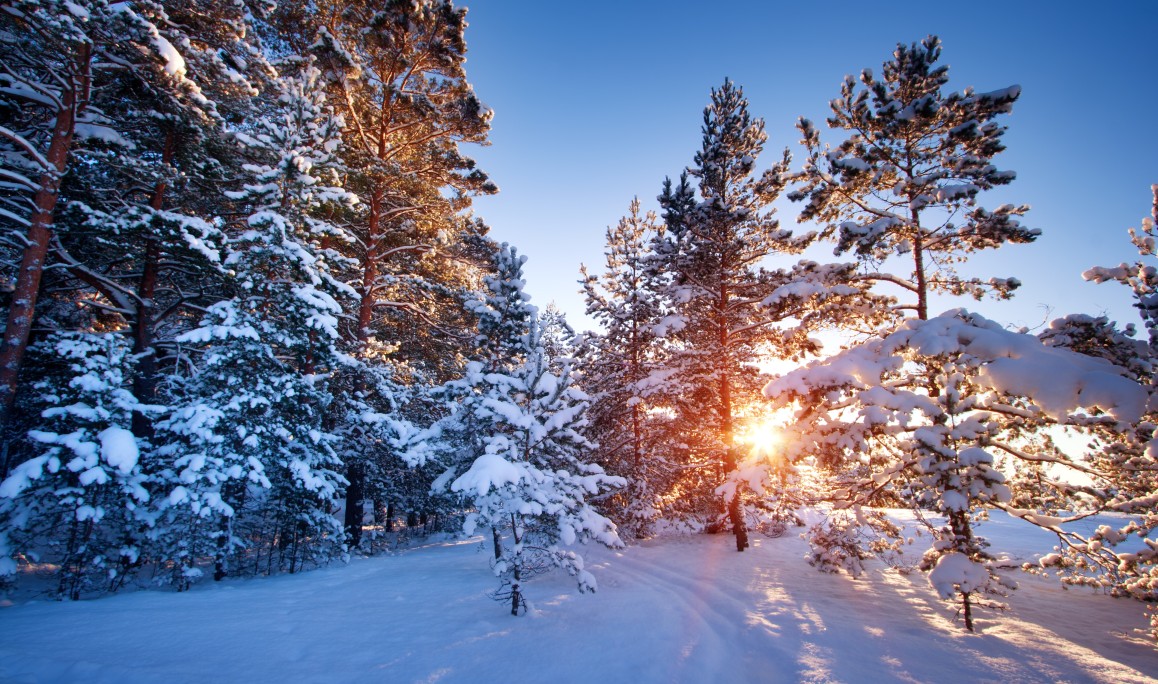
Christmas is approaching quickly and many people are dreaming of a snowy winter wonderland. What are the odds that your area of the country enjoys a white Christmas? This is what the historical patterns tell us about the chances of snow on the ground for your neck of the woods.
The major factor that will influence your chances for snow on Christmas is the current La Niña climate pattern. This pattern is known for its propensity to deliver storms to the northern half of the US while leading to drier than usual conditions to the south.
A La Niña pattern happens when the sea surface temperatures located in the equatorial Pacific fall below normal levels for a long period of time. Because the US is currently under this influence, forecasters are relatively certain that the bulk of the storms will be steered to the north, leaving the southern tier of the US drier than usual.
This means that areas throughout the upper Plains, Pacific Northwest, and the interior Northeast will likely see a higher than usual chance of having a white Christmas. However, the opposite will be true for the southern part of the nation.
Most forecasters define a white Christmas as having at least one inch of measurable snowfall on the ground. While some of the most extreme southern areas of the US have essentially no chance of enjoying a wintry landscape on Christmas Day, these odds will be even lower this year due to the influences of the La Niña pattern.
Even if your area has a typically decent chance to see the flakes fly on the holiday, the continuing warmth throughout much of the country will lower the chances of snow even further. On the off chance that the storm track of La Niña dips far enough to the south to deliver significant precipitation, the temperatures will not likely be cold enough for it to fall as snow or to stick to the ground. This makes it a slim chance that the Southeast and the mid-Atlantic see any meaningful snowfall on Christmas or the days surrounding the holiday.
As usual, those with the greatest chance of enjoying a white Christmas are those at the higher elevations. If you have your heart set on snow for your holiday, you would be wise to head up to the mountains. Some of the top odds of seeing white precipitation will be in the Rocky Mountains, the Cascades of Washington and Oregon, and the northern reaches of New England.
When it comes to the central portion of the US, you may get lucky in the central Plains and throughout the Great Lakes. This includes the cities of Chicago and Cleveland. These odds will continue to drop the farther south that you go. While it is still too early to say with certainty, it is highly unlikely that any of the lower Ohio Valley or Tennessee Valley will see a white Christmas. Even if the precipitation is there, it is unlikely that the snow will stick to the warm ground.
In addition to scrutinizing the chances of snow next week on the holiday, the National Oceanic and Atmospheric Administration (NOAA) released an update to its white Christmas climatology on Friday. The organization looks at normals over a period of three decades to provide its predictions. With the turning of the calendar to a new decade, NOAA released the updated data from almost 15,000 weather stations located in the US.
While the chances of experiencing a white Christmas did not change significantly for most areas, there were a few notable exceptions. According to the new data, the likelihood of a snowy holiday across the Midwest, Central Plains, and the Northeast plummeted by as much as 10% in some areas.
Surprisingly, while the odds of snow on the ground on Christmas increased slightly for New York City, it dropped a bit for Philadelphia, Boston, and Washington, DC.
The biggest drop in a major city belonged to Denver where the odds of a white Christmas fell 6.3% over the last 30 years.
NOAA cautions people to not read too much into this data. The observations encompass a period of three decades and are not a prediction of the snowfall for any one given year.

January 21, 2024

January 19, 2024

January 18, 2024
