
Heavy Rain, Flooding, and Chance of Severe Weather Staring Down the Southern U.S.
January 22, 2024
Posted: May 28, 2022 4:28 am


More Moisture in the Cards for Eastern Canada
Wondering what the summer has in store for Canada? Here is what the experts are forecasting for the months ahead.
La Niña Pattern to Influence Summer Weather
Residents and visitors to Canada are hopeful that the summer of 2022 will not be a reprise of the brutal summer of 2021. Last year’s summer season brought record-breaking heat, intense drought conditions, and disastrous wildfires. The conditions were the worst in the southwestern corner of the country where some areas saw the temperature soar over 120 degrees, shattering previous records.
A moderate La Niña weather pattern will continue to drive the forecast for the upcoming summer months. What will this mean for Canada?
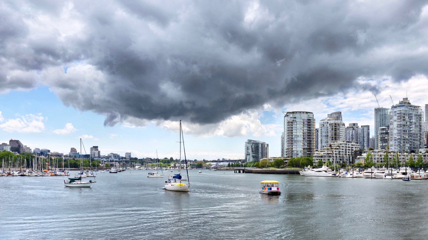
Western Canada Hopeful for Wetter Summer
As is typical during a La Niña pattern, western Canada generally sees the biggest changes to its normal weather conditions. A La Niña summer translates to a change in the location and orientation of the jet stream that stretches across North America. Because of this influence, the jet stream for the summer of 2022 is predicted to bring in significant moisture to the bulk of the province of British Columbia in the western edge of the country.
Forecasters are predicting that the province will see higher than average amounts of precipitation in the northern half while normal amounts of rain are expected in the southern half of British Columbia. The good news is that the forecasters are confident that this summer will bring less wildfire activity when compared to the summer of 2021.
This is because of the greater chance of moisture mitigating the presence of dry vegetation. Rivers and streams are also predicted to flow at about normal levels, delivering enough runoff from the mountain snowpack to keep the vegetation wetter and less likely to spark fires.
Forecasters are also predicting temperatures that are more in line with normal for British Columbia. This is a relief for residents who remember the searing heat from last year. Cooler ocean waters in the Pacific will help to keep the air temperatures down, ushering in more seasonable temperatures to the inland areas.
Moving Into the Prairies
It will be a different situation for other parts of the nation. The ongoing drought is predicted to worsen throughout the southern tier of Alberta and into southwestern Saskatchewan. Nearly all of the southern parts of these two provinces are under a designation of at least abnormal dryness, according to the latest data from the Canadian Drought Monitor. There is also a significant area of southern Alberta under the throes of an extreme drought, representing the second-highest category of drought readings.
Because grounds that are parched are more likely to bounce heat from the sun back into the lower atmosphere, it is not surprising to learn that areas under drought conditions are also more likely to experience warmer than average air temperatures. As a result, experts are predicting that the region will see a warmer summer than usual, particular in the southern cities such as Calgary and Regina.
The continuing drought and rising heat will also raise the risk of wildfire danger for the Canadian prairies. This increased danger of fires will pervade much of the region with the exception of southern Manitoba and southeastern Saskatchewan. Wetter than usual soil and full rivers will keep this risk mitigated in this region.
Summer Forecast for Eastern and Atlantic Canada
Eastern Canada is in store for a wet summer with some areas seeing precipitation amounts and thunderstorm prevalence that is well above normal. This includes the region stretching from central and southern Ontario into the western and southern portions of Quebec. Cities that will be under fire for frequent storms include Windsor, Ottawa, and Toronto.
Although this predicted precipitation may be bad news for those hoping to get out and enjoy the warmer temperatures, there is no doubt that it will be good news for lowering the odds of the area slipping into drought conditions. The arrival of additional moisture will also bring more humid conditions throughout the summer. Higher than usual humidity levels are typically associated with warmer overnight lows.
While northern Ontario and western Quebec have already experienced some early season wildfires, the predictions of slightly above rainfall amounts will hopefully mitigate this danger heading into the dog days of summer. The forecast of higher than average humidity levels will also help to inhibit wildfire activity.
Atlantic Canada is also expected to welcome a summer with humid conditions as well as warmer air temperatures. Warmer than average ocean water temperatures in the Atlantic will influence the weather patterns of Nova Scotia and through Atlantic Canada. The only area of this region expected to record lower than average precipitation amounts is the province of Newfoundland.
This area of Canada is also no stranger to tropical activity. Because of the La Niña pattern and the warmer than usual temperatures in the Atlantic Ocean, there is also a greater risk of tropical system landfalls throughout the coastal areas. This risk is expected to increase in the late summer and early fall months.
Sharing is caring!
Did you find this content useful? Feel free to bookmark or to post to your timeline for reference later!

January 21, 2024

January 19, 2024

January 18, 2024
