
Heavy Rain, Flooding, and Chance of Severe Weather Staring Down the Southern U.S.
January 22, 2024
Posted: August 5, 2022 11:01 am


Mario Tama/Getty Images News via Getty Images
It has been an exceptionally dry summer for the majority of Southern California. Will the region see its first meaningful precipitation in months?
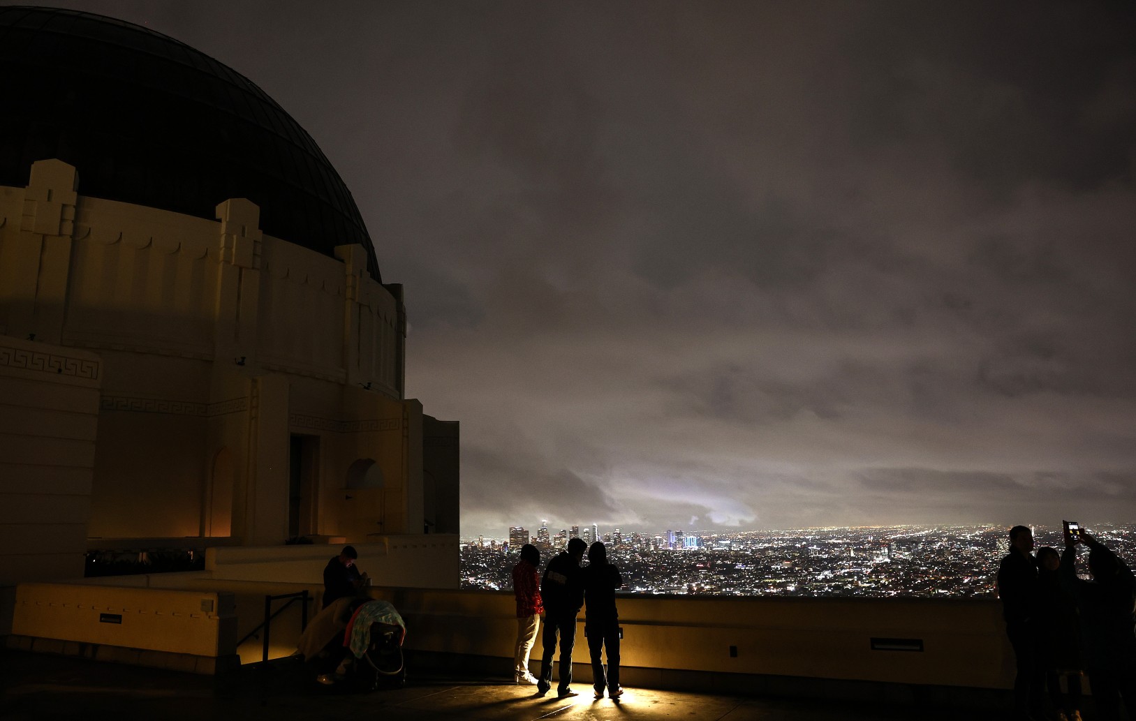
The bulk of the Los Angeles area has not seen any rain since May or June, exacerbating the already dangerous drought. For example, you have to go all the way back to June 22 to find the last measurable rain in the downtown area. The last heavy rain in the Los Angeles metro area happened in the middle of April.
It has been even drier in San Diego. The last drenching rainfall dates back to March 28 and 29 when the city saw about 0.70 of an inch of rain. Since then, the city has not seen anything more than a few sprinkles.
However, forecasters are predicting that a surge of moisture associated with the North American monsoon season may bring rain to this part of California in the coming days.
Although the precipitation will likely not be enough to put a significant dent in the drought, it could bring the danger of flash flooding and dry lightning strikes.
Forecasters are pointing to a disturbance that is moving to the northwest from Arizona as the potential trigger of this rain for Southern California. The disturbance is expected to continue this trajectory into Friday, bringing an increase in the odds of showers and thunderstorms to southern Nevada, western Arizona, and the interior portions of Southern California. The rain may be heavy enough with this disturbance to trigger flash flooding. While the coastal areas are not expected to be in the direct line of fire, you cannot rule out a stray shower.
The disturbance will dissipate later in the day Friday with drier air coming into the region late Friday and through Saturday. However, another mass of moisture is on the radar starting as early as Sunday and into Monday. This surge of moisture is forecast to deliver bigger impacts to the region by Monday.
The presence of southeasterly breezes may steer the moisture to the west, bringing a greater chance of rain to the coast by Monday. The highest chance of precipitation will be positioned in the mountains and desert areas to the west of San Diego and Los Angeles. This impact zone will stretch up into the southern Sierra Nevada and to the south into Arizona and Nevada.
Some areas of interior Southern California could see up to 0.50 of an inch of rain through next Tuesday. While the rain will most likely not be heavy, it will still carry the risk of localized flash flooding. The popular resort community of Palm Springs could be the target for some of this flooding into next week.
The 2022 monsoon season has already brought flash flooding emergencies in many areas of Arizona, including Flagstaff, Phoenix, and Tucson. Just last week it was Las Vegas that was the target of flooding created by monsoonal storms.
Any little bit of rain will help the ongoing drought in California. Almost 98% of the state is under the designation of a severe drought or worse, according to the latest data from the U.S. Drought Monitor.
The parts of Southern California that are dealing with recent burn scars will be at the greatest risk of flash flooding and mudslides. For the Los Angeles and San Diego area, this risk will be the highest on Monday when there is the greatest chance of thunderstorms.
These storms also carry the risk of dry lightning that could spark new wildfires. Combined with the gusty winds often associated with these monsoon storms, the region will be at an enhanced risk of wildfire spread.
Unfortunately for areas of Northern California dealing with wildfires, none of this potential moisture is forecast to make its way to this part of the Golden State. The McKinney Fire is distinguished as being the state’s current largest active wildfire. The blaze is burning in the Klamath National Forest near the border that the state shares with Oregon.
As of late Thursday, the McKinney Fire has burned over 58,000 acres and is only 10% contained. The fire began last Friday. There have been four fatalities blamed on this fire. Authorities also say that approximately 100 structures have been damaged or destroyed by the flames.
Did you find this content useful? Feel free to bookmark or to post to your timeline for reference later.

January 21, 2024

January 19, 2024

January 18, 2024
