
Heavy Rain, Flooding, and Chance of Severe Weather Staring Down the Southern U.S.
January 22, 2024
Posted: February 22, 2022 11:26 am


An active weather pattern began to settle in across the West Coast on Monday, setting the stage for storms that will deliver a host of impacts to the region in the coming days.
The storms are being triggered by an area of low pressure that started its track to the southeast to start the week beginning in the Pacific Northwest. By the time the system has wrapped up, the impacts will be felt through California and well into the southern portion of the Rockies.
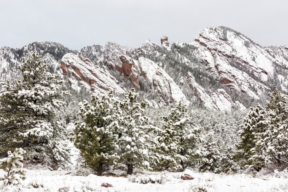
Washington, Oregon, Nevada, and Utah will see the first impacts of this system. While it will be rain that falls in the lower elevations, it will be snow that drops on the higher terrains. Snow will fall at a consistent rate through the Cascades and into the Sierra Nevada before eventually moving into the central and southern parts of the Rocky Mountains. The highest amount of snow will fall in the southern Rockies with up to four feet possible.
As the colder temperatures ride along with the low pressure system, the snow elevations will begin to drop by Tuesday and Wednesday. The snow levels are predicted to fall as low as 2,000 feet by Tuesday night in the San Gabriel and San Emigdio Mountains in California. The Santa Rosa Mountains will likely settle in at about 3,000 feet for a snow level.
The snow levels will also drop lower in the ranges of southwestern Oregon stretching all the way down into southeastern Arizona. This may complicate travel over some of the region’s most traveled mountain passes, including the Grapevine, Tejon, and Cajon passes. The southeastern corner of Arizona is also forecast to see flakes fly by Wednesday morning.
As the jet stream continues to dip farther to the south, the temperatures will drop along with it. Many areas throughout the West will see below average temperatures as a result of this jet stream movement.
For instance, the daily high on Tuesday and Wednesday in Reno is forecast to drop from the 60 degrees enjoyed over the weekend to the mid-30s. Salt Lake City will also see a shift of up to 30 degrees by the middle of the week.
High winds will also be a concern as the Arctic air moves to the south. The Desert Southwest is under a high wind watch issued on Sunday by the National Weather Service (NWS). The strongest gusts may reach up to 45 mph in some parts of northern Arizona and the desert terrain of California.
The strong winds may cause travel delays along some portions of interstates 10, 15, and 40 as well as U.S. highways 58, 178, 395, and 14. The higher elevations of these highways may also be dealing with blowing snow and reduced visibility complicating travel even further. It is a good idea to check your local forecast if heading out on Tuesday and Wednesday in these areas.
It may be a soggy week for some parts of Southern California as the precipitation jaunts to the south. Occasional rain showers and the potential of localized severe weather could pop up Tuesday night and into Wednesday along the coastline of Southern California.
This includes the cities of Los Angeles and San Diego. The chance of rain will expand to the east on Wednesday, reaching Phoenix and Tucson.

January 21, 2024

January 19, 2024

January 18, 2024
