
Heavy Rain, Flooding, and Chance of Severe Weather Staring Down the Southern U.S.
January 22, 2024
Posted: April 30, 2021 4:01 pm


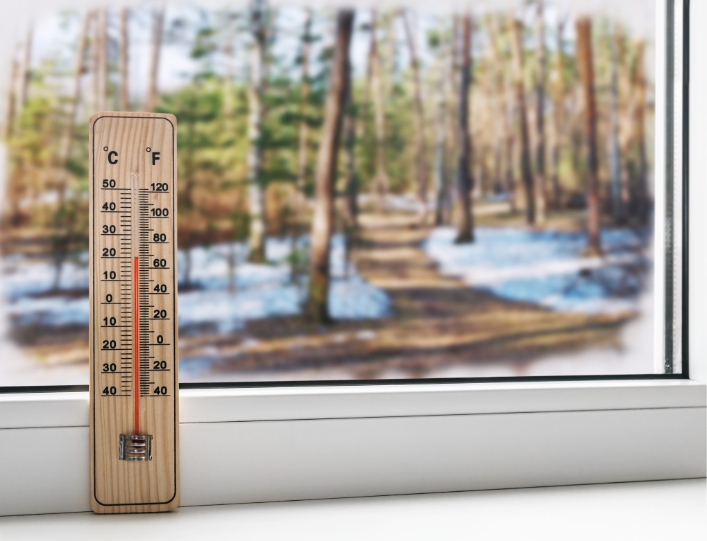
Despite summer-like temperatures across much of the Northeast this week, a large portion of the region is at risk of a hard frost heading into the weekend.
April has been a mixed bag throughout the majority of the Northeast and Great Lakes region. The first part of the month saw temperatures climb into the 80s in some areas. However, this pleasant weather did not last long. Another blast of Arctic air found its way into the region during the middle of the month. This system even brought snow to the northern part of the nation while dropping low temperatures into the 20s and the 30s.
This week delivered weather more reminiscent of summer. For example, the nation’s capital reached as high as 90 degrees. But, once again, this weather pattern will be short-lived as low temperatures are predicted to drop into the 30s and 40s in some areas by the weekend.
It will be a chilly start to the weekend in the Northeast. Strong winds are set to usher in a brief burst of wet and cool weather. Rain showers may mix with snow in the northern Appalachians late Friday. The highest elevations of the Adirondacks in northern New York state and the Green and White mountain ranges in New England may even see snow that sticks around for a bit.
Winds the Story: Most residents of the Northeast will not see any snow. However, nearly everyone will experience the high winds. Cold wind gusts of up to 50 mph will be the main storyline throughout Michigan, Pennsylvania, New York, New Jersey, Delaware, Maryland, West Virginia, Virginia, and up through southern New England.
All of this wind will contribute to the much cooler temperatures across the region. The mercury will drop as much as 50 degrees lower than the high temperatures on Wednesday and Thursday. For example, some places that soared to 90 degrees earlier in the week will be met with temperatures between 40 and 60 degrees on Friday and heading into the weekend.
There is a strong potential of widespread low temperatures dipping into the lower 30s and possibly even the high 20s early Saturday morning. The areas most at risk of this frost potential are the Upper Midwest, central Appalachians, and eastern Great Lakes. People in this area may want to cover their outdoor plants or bring them inside as a precaution.
This short burst of winter-like temperatures will exit as quickly as it arrived. The temperatures will begin to swing upward again once the wind dissipates. New York City should expect to see the middle 60s on Saturday with even warmer temperatures expected for Sunday.
It will be a bit cooler in New England with Boston only topping out in the upper 50s on Saturday. Washington, DC will enjoy weather in the upper 60s on Saturday with the mercury shooting up to the middle 80s by the end of the weekend.
The Northeast will remain relatively dry throughout the weekend with only a chance of isolated showers in the most northern sections. Looking ahead, more rain is expected to push through early in the work week.

January 21, 2024

January 19, 2024

January 18, 2024
