Heavy Rain, Flooding, and Chance of Severe Weather Staring Down the Southern U.S.
January 22, 2024
Posted: April 20, 2021 12:07 pm


If you are in the Upper Midwest, Great Lakes, and Northeast, you better enjoy the warm Tuesday weather while it lasts. After a brief warmup over the weekend and into the early part of the week after last week’s nor’easter, another blast of cold weather is on the way for the region by the middle of the week. Meanwhile, heavy rainfall continues to be the primary storyline in Florida as the week gets started.
Tuesday’s Calm Before the Storm: While the weekend started out rocky, temperatures began to normalize across the Northeast by the end of Saturday. Tuesday will be a beautiful day for much of the Northeast, signaling the brief respite before the next round of wintry weather. Many cities will be about 10 degrees above normal for this time of year on Tuesday. For example, New York City will enjoy a high of 75 degrees. Washington, DC, Baltimore, and Philadelphia are also expected to soar into the 70s as warm air moves into the region.
Wintry Weather Back in Forecast: However, just as fast as the warm weather arrived, it will also quickly exit. A winter storm is moving into the area that will drop temperatures again. The storm is currently setting up over the Rocky Mountains and Upper Plains and is expected to move to the east in the middle of the week. This set up the potential for snow to some areas of the Northeast Tuesday night and into Wednesday.
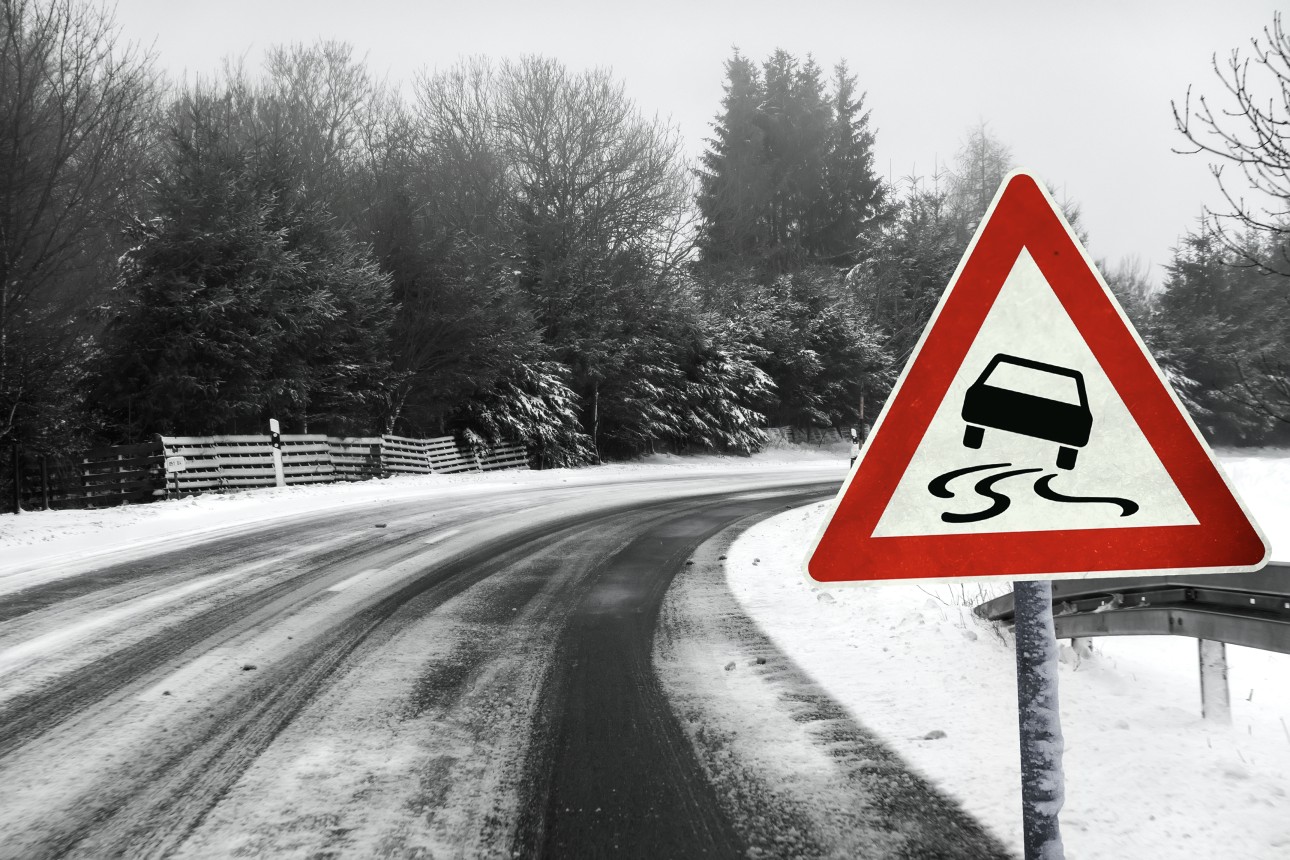
Projected Snowfall: The path of the snowfall may be quite widespread by the time that it wraps up. The bands of snow will fall as far south as Wichita, Kansas, continuing through the Great Lakes and up into Canada. Motorists should be prepared for potentially dangerous road conditions beginning Tuesday and continuing until early Thursday.
The heaviest snow will likely fall around Lake Erie and Lake Ontario. Some areas in Ohio, Pennsylvania, and New York will also see significant snowfall. Because the storm is predicted to move quickly, the snowfall accumulation should be manageable for most people. Cities expected to see snow out of this system include Kansas City, St. Louis, Indianapolis, Detroit, and Buffalo.
The good news is that the temperatures should stay warm enough through the populous I-95 corridor to keep the precipitation falling as rain.
Cold Temperatures to be the Story Late in Week: Even after the wintry mess moves out of the area, the temperatures will remain well below normal for the remainder of the week. The mercury will plummet to levels of freezing in places such as New York City and Philadelphia overnight Wednesday. The Big Apple will struggle to get out of the low 50s on Thursday. Meanwhile, it will only be in the 40s in Boston.
Only Rain in the Sunshine State: What is usually one of the drier months of the year has turned into a soaker for much of Florida. The heaviest precipitation is focused on the central and southern portions of the state. Over the next 48 hours, 2-4 inches of rain is expected to fall throughout central Florida. The southern third of the peninsula will see up to two inches of rain.
Along with the saturation of rain, the state will also see cooling temperatures. Daytime high temperatures will likely not reach 80 in the central counties. Farther south, the mercury may reach into the mid-80s. This is still below the recorded temperatures in the low 90s earlier this month.

January 21, 2024

January 19, 2024

January 18, 2024