
Heavy Rain, Flooding, and Chance of Severe Weather Staring Down the Southern U.S.
January 22, 2024
Posted: October 7, 2021 11:07 am


Although the calendar indicates that it is October, it feels anything but that throughout the central portion of the US. An active weather pattern moving into the central states may actually bring down the mercury a bit by the end of the weekend, helping it to finally resemble fall.
It has been an exceptionally mild fall throughout much of the US so far this year. The thermometer registered about two degrees above average for September in many major cities, including San Antonio, Texas. The temperatures were over four degrees above normal for Tulsa, Oklahoma, and some areas of North Dakota.
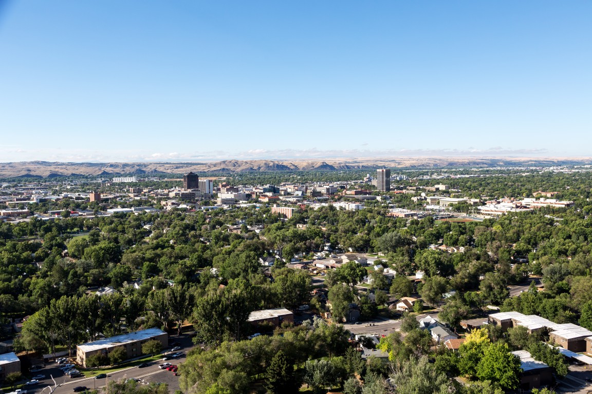
This week has been more of the same summerlike temperatures, particularly in the northern Plains and Rocky Mountain region. For example, Billings, Montana, broke a daily high record of 85 degrees from back in 1943 when the temperature hit 86 on Tuesday. A little farther to the east, Bismarck, North Dakota, also set a record when the mercury soared to 91 degrees, beating the previous record from 1947 of 90 degrees.
This heat will move farther to the south on Thursday, bringing unusually warm weather to most of Texas, Oklahoma, Missouri, and Kansas to close out the workweek. The temperatures will peak in the 80s for most of Missouri, including Kansas City and St. Louis starting on Thursday and continuing through Saturday.
The temperature will likely hit 90 degrees as you move farther to the south. This includes cities such as Oklahoma City, Tulsa, and Dallas. Readings in this range will be nearly 20 degrees above average for early October.
While it will not feel much like fall, it will definitely be a good weekend to head to the pumpkin patch or take in a high school football game.
The heat will begin to back off as the weekend comes to a close. It will be a slow return to normal fall temperatures as the week kicks off. The unseasonably warm temperatures will begin the track out of the central US by Sunday, moving into the Upper Midwest as the week gets started. A southerly wind pattern will keep the warm temperatures in place for the Twin Cities, Chicago, and Milwaukee well into next week.
Forecasters are predicting that the arrival of two storm systems coming into the area over the weekend will temper the heat and bring the temperature back to what is normally expected for October. The first of these systems will move from the northern Rockies into the northern Plains states beginning late Saturday and into Sunday. While the temperature will drop slightly as the storms move in, it will take a few more days for the cold air to really set in.
A few days later, a second system will hit the region farther to the south. This storm system will slash temperatures as much as 20 degrees in the southern Plains by Monday. The system will also bring along rain as it moves into the Plains states. With little to no measurable rainfall throughout the central US this month, this precipitation will be a welcome sight for most people.
The system that will bring rain and cooler temperatures to the central Plains will get its start out West. This weather maker may bring the first significant snowfall of the season to the Cascade Mountains of Washington and Oregon on Monday before moving into the Rockies by Tuesday.
The snowfall level may fall to 5,000 feet in parts of Wyoming. While the higher elevations of Salt Lake City and Denver are unlikely to see any measurable snow, residents should not rule out some wet and heavy flakes mixing in with the rain. In any event, this system should be monitored heading into early next week.

January 21, 2024

January 19, 2024

January 18, 2024
