Heavy Rain, Flooding, and Chance of Severe Weather Staring Down the Southern U.S.
January 22, 2024
Posted: February 17, 2022 4:45 pm


Power Outages and Coastal Flooding the Story in the Northeast Thursday and Friday
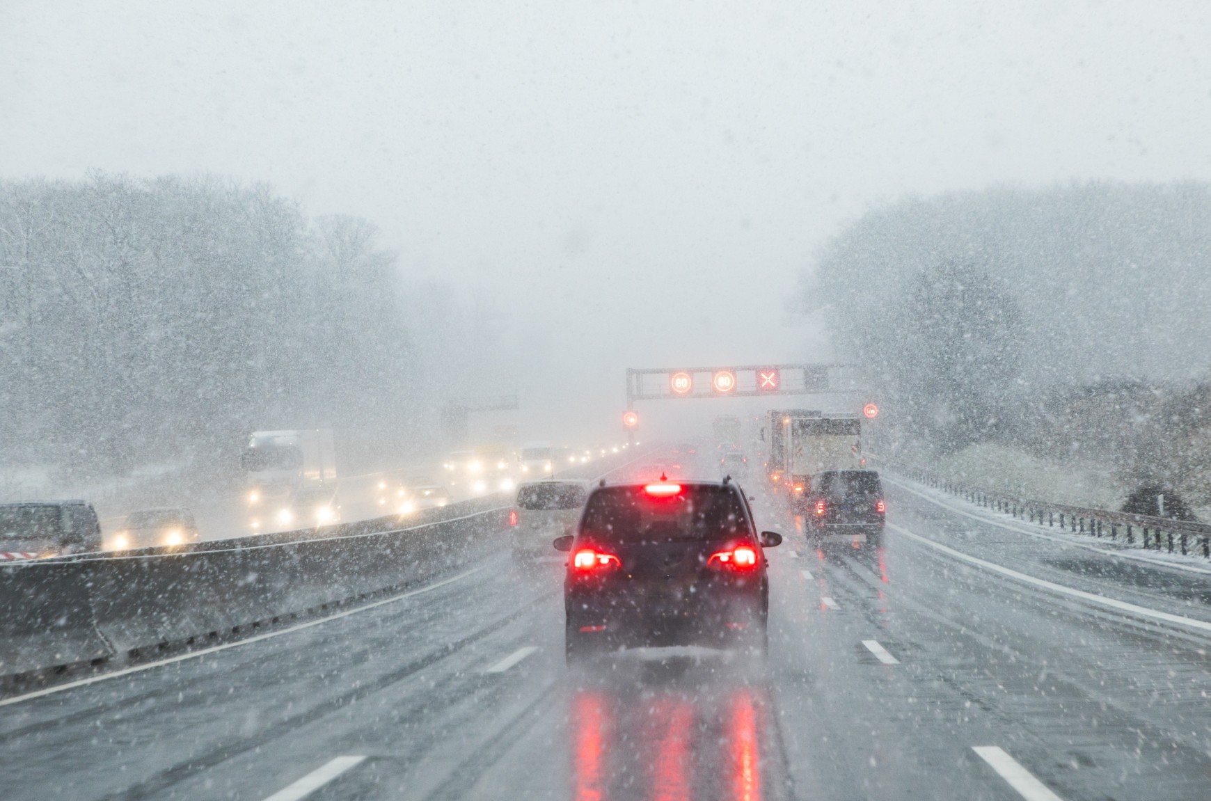
A potent storm is moving throughout much of the U.S. this week, bringing snow to the Midwest and the chance of damaging winds to the Northeast. The potential of these winds have triggered a number of gale warnings and watches up and down the Eastern Seaboard.
Unlike the winter storms that have been hammering the East Coast over the last several weeks, the southerly winds that are accompanying this particular weather system will bring warmer temperatures more indicative of spring. This will keep the chance of winter precipitation at bay, however, the strong wind gusts could be a problem starting on Thursday.
The most powerful winds are forecast to move into the Delmarva Peninsula and into New York City early Thursday night. They will eventually expand into the coastal areas of southern New England late Thursday and early Friday morning. This is the timeframe that forecasters are most worried about due to the high chance of hurricane-force winds measuring 74 mph or greater.
As a result of the forecast, high wind watches have been issued for some parts of Long Island stretching up through the eastern portion of Massachusetts. This includes the city of Boston. In addition, gale warnings have been issued for Nantucket, Massachusetts stretching north to coastal Maine.
Lastly, a series of gale watches have been issued for a large swath of coastal waters from the Outer Banks of North Carolina up to New Jersey.
Unfortunately, forecasters are predicting power outages and coastal flooding as these winds pick up across the area starting Thursday. The strong gusts will deposit water up and down the coast, triggering the risk of coastal flooding for those areas facing the south. The epicenter of this damage will likely be positioned in the south-facing shores of Long Island, Connecticut, Rhode Island, and Massachusetts.
The high tides on Thursday night will make this time the most likely to see coastal flooding. However, forecasters are warning those in the impacted areas to be ready for flooding even in times outside of the high tides.
As the waves pound the coastline, some people may also experience property damage. Winds are forecast to gust past 60 mph as the storm picks up.
Although the strongest winds will be located along the coastline, inland cities such as New York City and Boston may also see winds gusting to 50 mph. This will raise the risk of power outages for millions of Americans. Forecasters are warning residents along the Interstate 95 corridor in the Northeast to secure outdoor items prior to Thursday afternoon.
The warm winds will also begin to chip away at the existing snow cover in the region. This rapid snowmelt will pair with the rain associated with this system to create even more flooding concerns.
Enjoy the milder temperatures while they last. Friday’s winds will usher in a new mass of cold air that will send the mercury back on the downward trajectory.

January 21, 2024

January 19, 2024

January 18, 2024