
Heavy Rain, Flooding, and Chance of Severe Weather Staring Down the Southern U.S.
January 22, 2024
Posted: January 25, 2023 11:19 am


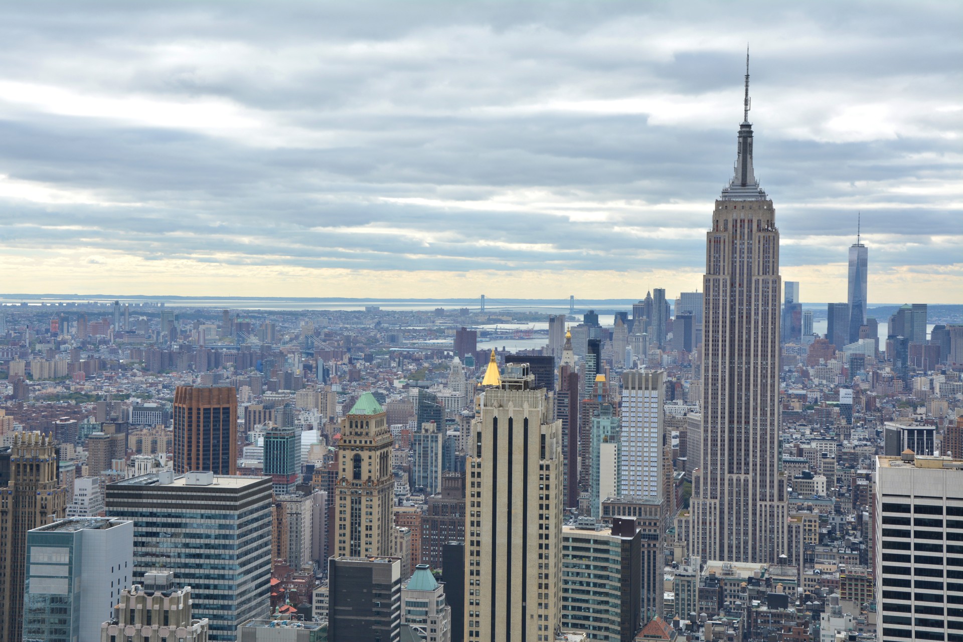
Next Shot of Snow for New York City to Arrive Wednesday
Residents of New York City are beginning to wonder if the snow will fall at all this winter after the city closes in on a record snow drought. The Big Apple has not seen any measurable snow in over 300 days, putting it just shy of the record for the longest time without seeing flakes fly. Will the all-time record be broken?
Although the city has seen plenty of rain this winter season, temperatures that have been trending above normal have kept the wintry precipitation at bay. No measurable snow has been recorded in New York City’s Central Park weather station this year.
As a result, the city is approaching the record for the longest time period without a trace of snow. The latest date for the city’s first snowfall of the season is January 29, going all the way back to 1973. This current season is now in second place for the latest date in the season without any measurable snow.
The city is also getting close to experiencing its longest snowless streak on record. You do not have to go back far to find the current streak. The streak ending on December 15, 2020 lasted 332 days. As of January 24 of this year, it has been 320 days since New York City has recorded any measurable snow. While the city has seen a few isolated flurries and traces of snow, the white stuff has not been enough to count as measurable snowfall.
New York City typically records an average of 9.4 inches of snow from December 1 to this part of the season. According to records from the National Weather Service (NWS), that measurement was sitting at 6.8 inches by this date last year.
It has been an unseasonably warm winter for the city and its environs. The mercury was still hanging around in the mid to upper 70s for the first half of November, registering about 20 degrees above average for late fall. In fact, the city did not see the temperature drop to below 40 degrees until November 14, well past the average date of October 22 for this reading. The warm November was a harbinger of things to come in December.
While there has been no snow, the city has not lacked for moisture. November was a soggy month with an abundance of rain due to an active storm pattern. December also recorded precipitation amounts over 2 inches above normal.
Unfortunately for snow lovers, this moisture has remained rain because of a lack of persistently cold air. For instance, the temperature greeting revelers in Times Square on New Year’s Eve was almost 15 degrees above normal for that date. However, the warm temperatures were also accompanied by rain.
Forecasters are warning that the city should not hold out hope for snow with this upcoming storm system, set to move into the city on Wednesday. While the odds are low, a storm gearing up across the interior Northeast will raise the chance that New York City may experience measurable snow for the first time this season.
Although cold air is in place heading into the arrival of the system, these temperatures may inch high enough by the time the moisture arrives to create rain rather than snow. As of now, it looks as if the city will pick up another quarter of an inch of rain during the day Wednesday with an additional inch in the overnight hours heading into Thursday.
It could be next week before the next chance for flakes to fly should this system not produce any measurable snow for New York City. But that early week weather maker is shaping up to deliver rain at this point. Stay tuned to see if that changes in the days to come.
Did you find this content useful? Feel free to bookmark or to post to your timeline for reference later.

January 21, 2024

January 19, 2024

January 18, 2024
