Heavy Rain, Flooding, and Chance of Severe Weather Staring Down the Southern U.S.
January 22, 2024
Posted: April 17, 2022 8:42 am


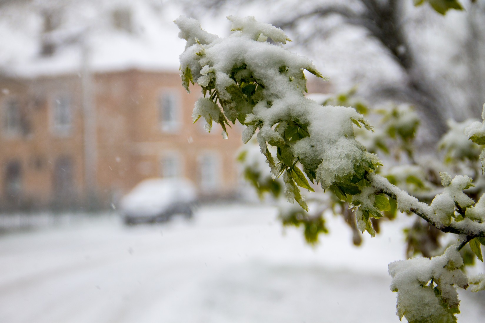
Another shot of wintry weather is bearing down on a part of the country that is still dealing with the effects of a massive spring blizzard that delivered up to four feet of snow in the heaviest hit areas. When will this next round of snow hit and how bad will it be? Read on for all of the details.
A dip in the jet stream is keeping the cold air entrenched throughout the north-central U.S., stretching from Idaho through Montana and the Dakotas and into Minnesota and Wisconsin. This is the same part of the country that just experienced a rare April blizzard. The massive snow drifts caused by last week’s weather event are not likely to go anywhere soon thanks to the cold air still in place.
This steady blast of cold air has already delivered record-breaking low temperatures for much of the region. A storm pushing in from the Pacific Ocean will clash with this air and create the chance for more snow across the northern Rockies and into the northern Plains on Easter weekend and into next week.
The storm is expected to fire up late Saturday and into Sunday as it moves west to east coming down from the Rockies. The heaviest of snow will fall right along the border with Canada. Areas through northeastern Montana, northern North Dakota, and northwestern Minnesota can expect to see about 6 – 12 inches of snow out of this system.
Strong winds could bring about the potential of blizzard conditions. Blowing and drifting snow will complicate travel throughout the region. Travelers need to exercise caution when driving on the impacted areas of interstates 29 and 94 and on U.S. routes 2, 52, and 85.
The new snow will add to the already existing snowpack in place from last week’s storm. The north-central U.S. broke a number of snowfall records thanks to last week’s significant accumulation. For example, Bismarck, North Dakota, was measuring 19.4 inches of snow as of Friday for the month of April. This amount shatters the usual average of 4.6 inches for the month. While some of the areas did not enjoy a white Christmas last year, the white Easter may more than make up for it.
This wintry weather will move to the east later in the weekend and to start the week, impacting parts of the Great Lakes. This trajectory will bring snow to the northern tier of Minnesota, Wisconsin, and Michigan. Residents in these areas can plan for up to a few inches of snow beginning late Sunday night and lasting until Monday.
While the bulk of the snow will stay in the northern parts of this region, the white stuff may fly as far south as Minneapolis. The Twin Cities could see an inch or two out of this system by Monday. A mix of rain and snow may fall across cities such as Chicago and Detroit into Tuesday.
The cold air is forecast to remain in place throughout the north-central U.S. even after the snow departs. Daily highs will be about 15 – 25 degrees below normal for the region through at least the middle of the week. For instance, the high temperatures in the Upper Midwest and northern Plains will hover in the 30s, a dramatic departure from the normal readings in the 50s. It will be slightly warmer with temperatures climbing into the 40s for the central Plains and through the lower portion of the Great Lakes region.
Do not rest easy once this storm fizzles out. Forecasters are already eyeing another potential storm that could hit next week in this same area, including the area still digging out from last week’s blizzard. This system could bring a mix of heavy rain, thunderstorms, flash flooding, high winds, and snow.
Did you find this content useful? Feel free to bookmark or to post to your timeline for reference later!

January 21, 2024

January 19, 2024

January 18, 2024