
Heavy Rain, Flooding, and Chance of Severe Weather Staring Down the Southern U.S.
January 22, 2024
Posted: June 20, 2022 11:02 am


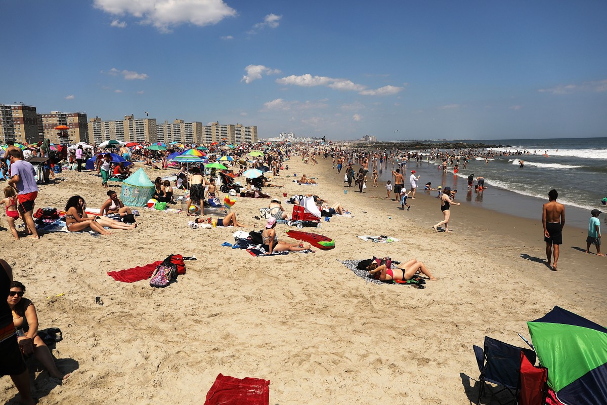
Image provided by
While it was a chilly weekend throughout much of the Northeast, the weather pattern is about to shift again, ushering in more seasonable conditions just in time for the official start of the astronomical summer. But will the nice weather stick around? And what about the intense heat that has characterized June for the central part of the U.S.? Here is what you can expect in the coming days for the eastern half of the country.
It was not the best weekend to get outside and celebrate Father’s Day in the northeastern corner of the U.S. Temperatures hovered about 10 – 15 degrees below average for the Northeast on Sunday with overnight lows approaching the freezing mark in some of the higher elevations of the region.
However, a mass of warmer air is moving in from the west, bringing higher temperature readings to an area that is ready for summer to begin. Temperatures will inch back to within a few degrees of average for the middle of June on Monday. For example, Boston will see gorgeous weather on Monday with a high of about 75 degrees and partly cloudy skies. The mercury will climb into the low 80s in New York City as the sun breaks outs.
The temperature will continue to rise through Pennsylvania and upstate New York on Tuesday. However, coastal cities will stay relatively cool for the day with some areas seeing a further downturn in temperatures. After being forecast to break 80 degrees on Monday, New York City will once again be in the upper 70s. Boston will drop into the lower 70s for a high as intermittent clouds keep the mercury suppressed.
Do not get too used to the summerlike weather on Tuesday. Yet another change is in store for the middle of the week. An increase in moisture by the middle of the week will raise humidity levels as well as bring the potential for precipitation to this part of the country.
As the dew point increases by late Tuesday and early Wednesday, residents of the Northeast will notice that the air feels stickier. Isolated showers will become the norm by late Tuesday in parts of eastern Pennsylvania and into New Jersey. The showers are forecast to become more widespread in the overnight hours on Tuesday and heading into Wednesday. Although some parts of eastern New England may stay dry on Wednesday, the bulk of the region will see a soggy day.
It is still too early to pinpoint with certainty what the latter part of the week will look like for the Northeast. The potential of a disturbance in the upper levels of the atmosphere may deliver more cloud cover to the area as well as an increase in the chances of rain. A tropical feature forecast to develop near Bermuda this week may move to the west and into the mid-Atlantic and Northeast by the end of the week.
However, there is also the chance that the tropical development stays out to sea, allowing for the temperatures to quickly increase by the time the weekend arrives. Should this happen, daily highs may land about 10 degrees above average for this time of the year.
One thing that is certain is that the central portions of the U.S. are under the gun for another wave of heat to start the week. A northward bulge in the jet stream will keep the heat turned on for the Plains and into the Mississippi River Valley. Temperatures that flirted with record highs will remain in place on Monday and Tuesday for the northern Plains.
This dome of heat is forecast to track to the east by Monday, bringing the hot air to millions of Americans in its path. The last full day of the astronomical spring will see temperature readings that are about 5 – 15 degrees above average. For instance, Chicago will climb about 10 degrees higher than what Sunday brought with a high of 93 degrees on Monday.
The uncomfortable conditions will become even more intense on Tuesday as humidity levels rise concurrently with the mercury. Areas including St. Louis may see real feel temperatures that break the century mark because of the combined heat and humidity.
The good news is that this heat is not expected to last as long in the northern tier of the U.S. as it did last week. For example, Chicago will peak with a high of 97 degrees on Tuesday. However, the reading will be back in the low 80s by Wednesday.
Did you find this content useful? Feel free to bookmark or to post to your timeline for reference later!

January 21, 2024

January 19, 2024

January 18, 2024
