
Heavy Rain, Flooding, and Chance of Severe Weather Staring Down the Southern U.S.
January 22, 2024
Posted: November 11, 2021 12:00 pm


Much of Region Finally Seeing Relief from Ongoing Drought
The drenched Pacific Northwest is not getting a break when it comes to precipitation. Another moisture-rich storm is taking aim at this corner of the US, delivering significant impacts to the busy Interstate 5 corridor running from Seattle through Tacoma and Portland.
A stormy fall has virtually erased the drought conditions that had been plaguing the western half of Washington in recent months. Seattle has recorded two consecutive months of rainfall amounts far above normal. The Emerald City has seen nearly nine inches of rain during this time period, equaling over 150% of what is normally recorded. In November alone, Seattle has measured 2.42 inches of rain, translating to approximately 178% of the average for the first week of this month.
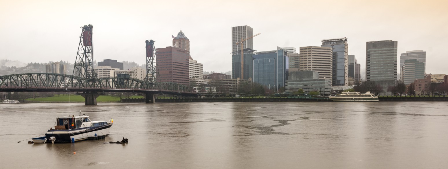
Heading down I-5 to Portland, Rose City has also observed similar rainfall amounts over the last few months.
Those residents who are growing weary of the rain are not going to be happy when they see the latest forecast. After seeing a slight drying out on Wednesday throughout much of the region, another atmospheric river is setting up above the West Coast. This will usher in more precipitation to the area on Thursday and Friday.
These atmospheric rivers are known for delivering torrential rainfall that will sock in a region for days. Although this amount of moisture can be extremely beneficial when looking to erase drought conditions, it can also present its own set of concerns.
For example, the threat of flash flooding and mudslides are now elevated across much of western Washington and Oregon in the days ahead as forecasters warn of the heavy rainfall on the way.
The rain began to fall in the overnight hours on Wednesday in a large portion of Oregon and Washington. By the end of Friday, the precipitation may fall in amounts that equal an entire average month throughout the I-5 corridor. While this storm will deliver an abundance of moisture, the warm air associated with the Pacific tropics will keep conditions well above freezing for the lower terrains.
Snow levels will be much higher than last week’s storm as this system pushes through. The snow that fell in some parts of the Cascade Mountains earlier in the week may melt as this new system brings more rain than snow, even to the higher elevations.
Unfortunately, the ground is so saturated throughout much of the Pacific Northwest that this additional moisture could pose major problems. Because the ground may not be able to soak up this rain, there will be a higher risk of flooding and mudslides.
After hitting Oregon late Wednesday, the moisture is moving inland and up the Columbia River Valley. What forecasters refer to as a firehose of moisture will trek to the north throughout the day Thursday, arriving first in the Washington state capital city of Olympia before expanding into Tacoma, Seattle, and Everett. Once the rain begins falling in this region, it will not ease up until later in the day Friday.
The low-lying valley areas can expect to see one to three inches of rain by the time the storm exits the region. The highest elevations of the western facing slopes may see up to six inches of rain, compounding the mudslide risk.
Once the storm finishes battering the Pacific Northwest, it will begin its journey to the east. Here it will meet up with a wide swath of cold air coming down Canada as it enters the Plains and Midwest. This could bring the first chance of measurable snowfall of the season for many in its path

January 21, 2024

January 19, 2024

January 18, 2024
