
Heavy Rain, Flooding, and Chance of Severe Weather Staring Down the Southern U.S.
January 22, 2024
Posted: December 10, 2021 12:27 pm


High Winds Also a Likelihood as Storm Moves to the East on Saturday
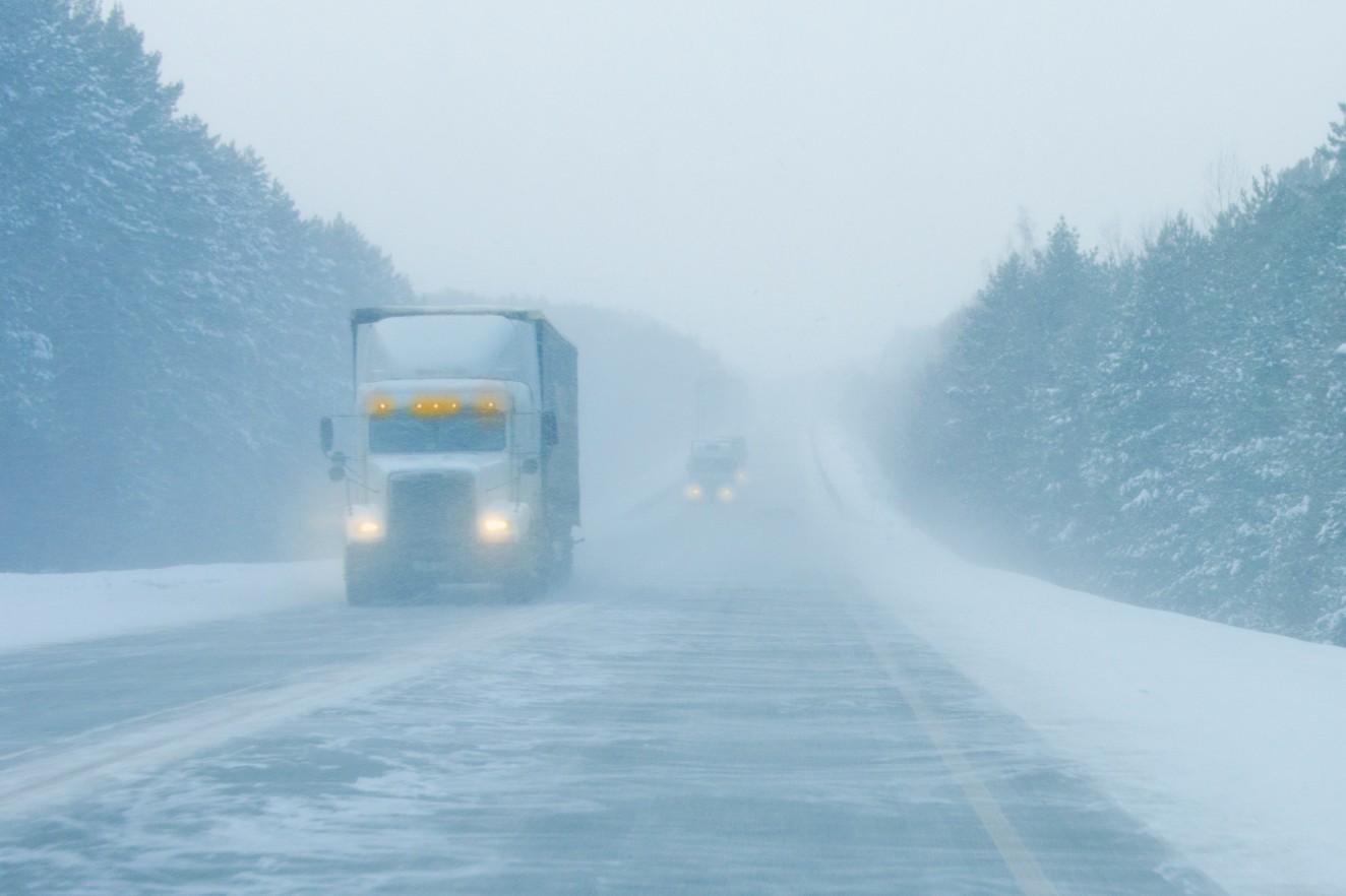
A potent storm system that is producing snow in the Rocky Mountains and the Upper Midwest will deliver the threat of severe weather well into the Southeast as the weekend kicks off. This system has the potential of producing dangerous tornadoes in the overnight hours on Friday. Here is what you can expect with this robust system.
Friday will bring the arrival of a series of severe weather events throughout the central US, up into the Great Lakes, and down into the South. Some residents of the central US in cities such as Memphis and Little Rock may wake up to rain or even thunder to start the day. This rain will likely back off as the day progresses. However, that will probably not be the end of it.
The break in the rain will serve to allow the atmosphere to produce more energy for the second round of potentially severe weather heading into the evening hours. As the warm and moist air from the Gulf of Mexico is drawn into the storm, there is a good chance that a line of thunderstorms will form across the Ohio and Tennessee valleys before moving into the Southeast.
While there may be a few rumbles of thunder earlier in the day, it will be the nighttime storms that will be most likely to be severe in nature. These storms may also produce isolated tornadoes throughout the region. The highest risk for tornadoes will be through portions of Mississippi, up through Kentucky, Tennessee, and Indiana.
According to the National Weather Service’s Storm Prediction Center (SPC), there are over 6 million people who live in an area under the enhanced risk designation for severe storms on Friday. In addition, another 9.5 million people are under a slight risk with more listed as having a marginal risk.
While most people do not associate the month of December with tornadoes, it is certainly not out of the question for twisters to pop up. The three-year average for twisters in the last month of the year in the US is 47. In 2018, there were a whopping 66 tornadoes reported. Although this number pales in comparison to the busy spring season, it still means that tornadoes are possible heading into the winter.
Forecasters are particularly concerned about this weather system because the worst of the severe weather is forecast to happen in the overnight hours. These storms are more likely to catch people off guard, making it important that residents in the risk zone set up their phones to receive weather alerts.
It is also a good idea to secure any outdoor holiday decorations that could become projectiles if severe storms roar through the area.
In addition to the possibility of tornadoes, the storms may also bring high winds and heavy rains to a large swath of the central US. The highest wind gusts may reach up to 75 mph in some areas. The strongest winds will happen on Saturday in the Great Lakes region. Gusts in the 30 – 50 mph range will extend into the central Appalachians and the mid-Atlantic coast on Saturday.
The gusty winds in the Great Lakes region may bring the potential of flooding while also complicating travel. The front will continue to push to the east throughout the day on Saturday, finally exiting the coast by late Saturday. This will leave a clear weather pattern for Sunday.

January 21, 2024

January 19, 2024

January 18, 2024
