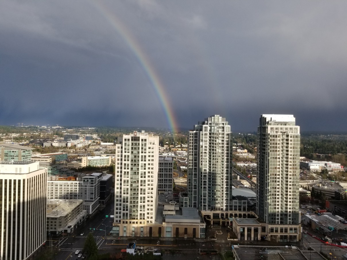
Heavy Rain, Flooding, and Chance of Severe Weather Staring Down the Southern U.S.
January 22, 2024
Posted: July 1, 2022 10:20 am


The Desert Southwest has been under the gun for monsoonal moisture over the past week as the North American Monsoon Season has kicked into high gear. Forecasters are saying that the rest of the West Coast may also see significant storms over the holiday weekend. Here is what you need to know about the prospects of moisture in the coming days if you live out west.
Although the impacts of the monsoon season have dulled over the last few days, forecasters are cautioning that these heavy and sudden rains are expected to pick up again throughout the Southeast over the long weekend. This type of moisture pattern happens when a strong southerly wind brings in moist air from the Pacific into many of the western states. This increase in humidity levels triggers regular thunderstorms, typically firing up in the afternoon hours.
So far this year, the greatest impact of these monsoonal rains have been in southern Utah, the northeastern corner of Colorado, northwestern New Mexico, and western Colorado. For instance, a monsoon storm triggered flash flooding that stranded hikers and washed away cars in Capitol Reef National Park in central Utah last week. The rain came down so quickly and with such intensity that it filled river beds that were starved for moisture, spilling over onto the roads and creating havoc.
The threat of these types of storms will stretch as far north as Wyoming and the southern tier of Montana. While the storms to the north are not expected to come with as much moisture, they will still have the capability of producing dangerous lightning strikes that could spark wildfires.
Hikers and mountain bikers out enjoying the natural beauty of this corner of the U.S. will want to be aware of this threat. Weather experts warn that even if your area does not receive rain, the water can wash down quickly through canyons, stranding hikers and creating dangerous situations.
The bulk of the storms will move to the east on Saturday, leaving New Mexico and Colorado as the primary target. As this is happening, a disturbance in the jet stream will come in from the coastal areas of the Pacific Northwest. This will raise the threat of an errant afternoon thunderstorm over the Cascade Mountains on Saturday.
Sunday should be a bit calmer for the West. However, you cannot rule out the chance of an isolated storm on Sunday afternoon. The good news for Seattle and Portland is that these water-logged cities are forecast to see a relatively dry weekend.
However, the rain may pick up on Monday as the storm moves onshore with southern British Columbia as the likely impact zone. This means that northern Washington may get a good soaking out of this system. An area of low pressure may serve to increase the chances of rain as the weekend comes to a close. This area of the country saw precipitation levels well above normal for June with the beginning of July looking to keep the weather pattern going.
It could also be a stormy Fourth of July for a large part of Colorado, New Mexico, and the eastern edges of Arizona. This could potentially disrupt holiday plans during the day and into the night. Some fireworks shows may be in jeopardy since monsoonal moisture tends to linger into the evening hours.
This monsoonal moisture is forecast to stick around for the majority of next week in the Southwest. Conversely, the Pacific Northwest is headed for a drier period after the holiday weekend wraps up.
Sharing is caring! Did you find this content useful? Feel free to bookmark or to post to your timeline for reference later!

January 21, 2024

January 19, 2024

January 18, 2024