Heavy Rain, Flooding, and Chance of Severe Weather Staring Down the Southern U.S.
January 22, 2024
Posted: April 7, 2021 2:38 pm


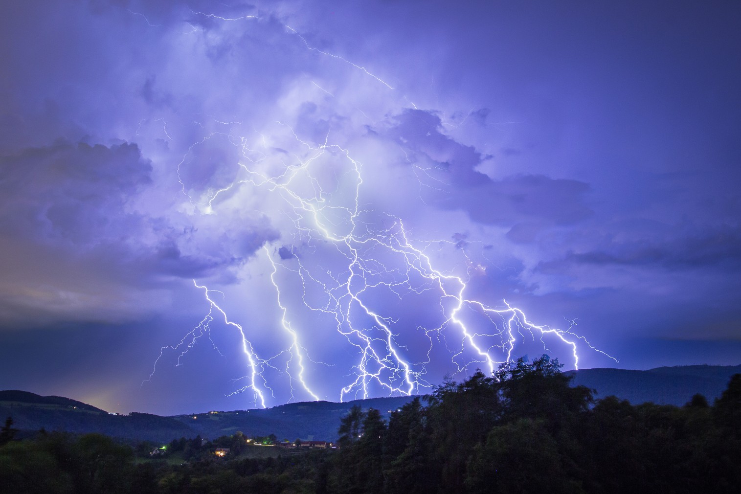
It is going to be a long night for parts of the central US on Wednesday. Severe weather is expected to fire up once again late in the day and continue throughout the night, putting over eight million people in the bullseye for strong thunderstorms and the potential of tornado outbreaks.
Storm Shifts to the East: The strong storm system initially developed in the Rockies and then began to track to the east. The system is expected to deliver gusty thunderstorms to a large swath of land stretching from the central Plains and into the lower Mississippi River Valley. While thunderstorms will be the main event, forecasters are warning that isolated tornadoes may also pop up as a result of the potent system.
The system’s cold front will clash with the warm air already in place to raise the risk of severe weather conditions. Residents in the path of this storm system should be ready for flash flooding, large hail, strong winds, and tornadic activity.
Cities in the line of fire of the severe weather include St. Louis, Nashville, and Little Rock. The greatest threat will likely come in the evening and overnight hours.
As a result of the impending arrival of this strong storm system, the National Weather Service (NWS) Storm Prediction Center issued an enhanced risk tier of severe thunderstorms for the affected region. This warning is the third-highest of five possible levels.
Weather Could Hamper Travel: As the line of storms quickly moves into the region, the heavy rain and winds may significantly affect driving conditions for travelers out on the roads. Those traveling along interstates 30, 35, 40, 44, 55, and 70 should be on high alert for reduced visibility. Standing water may also present issues.
Tennessee’s Wet Ground and Swollen Rivers to be Tested: This system will present the first significant rainfall to the city of Nashville following its deadly flooding event at the end of March. Rivers are still at their brink after heavy rains pounded the region throughout the month of March. If this latest system delivers heavy rain, it is possible that the area may see more flash flooding events.
Other areas expected to see significant rainfall out of this system include parts of Nebraska, Minnesota, South Dakota, Iowa, and Wisconsin. Some of the areas may see rainfall up to two inches in less than 48 hours.

January 21, 2024

January 19, 2024

January 18, 2024