
Heavy Rain, Flooding, and Chance of Severe Weather Staring Down the Southern U.S.
January 22, 2024
Posted: May 17, 2022 11:16 am


Temperatures Will Drop Dramatically as Cold Air from Canada Moves South
It has been a typical spring in the Pacific Northwest this year. Intermittent showers mixed with sunshine have distinguished the pattern over the last several weeks. Unlike the nation’s heartland that has been under the gun for severe weather, the Northwest has been relatively mild with straight-up rain showers delivering the bulk of the precipitation.
The tranquil weather is about to change as a more volatile storm system moves into the region by the middle of the week. The storm system will push through the coastal areas inland over the northern Cascades and the Rockies beginning on Wednesday. As it comes on shore, it will bring a mixed bag of precipitation, including widespread rain and even some snow at the higher elevations by the time the week wraps up.
The weather system will find the ingredients that it needs for strong weather as the jet stream dips to the south in the coming days. As this dip becomes more pronounced on Thursday and Friday, the upper levels of the atmosphere will be able to drive the storm conditions.
The southward dip in the jet stream will allow the colder air up in Canada to fall down into the northern U.S. on Thursday and Friday. While daily high and low readings will trend near normal or slightly above average for the middle of May for the early part of the week, these temperatures will dip about 15 to 20 degrees as the cold air rushes down from Canada. This will leave the bulk of the region under unseasonably cool conditions.
For instance, although Boise enjoyed temperatures in the mid 80s on Sunday, the high for Thursday is only expected to hit 57 degrees with partly cloudy conditions. It will be even colder in cities such as Billings, Montana with a high of just 52 degrees on Friday with mostly cloudy skies. It will be only 46 degrees for Friday’s high in Bozeman, Montana with winds gusting to over 40 mph at times.
After enjoying temperatures in the 60s and near 70 for the last few days, the temperature in Seattle will hover in the 50s for Wednesday and Thursday. Wednesday will be the most likely day that the Rainy City will see significant precipitation at the hands of this storm.
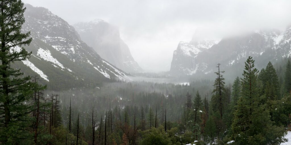
Some of the areas located in the higher terrains will see a reprise of winter. Snow is forecast to develop in the Cascade Mountains of Washington and Oregon beginning late Wednesday. This snow will eventually track into the Rockies of Idaho by Thursday. The system will reach the Colorado Rockies by Friday, bringing the chance of snow showers to Vail and Steamboat Springs as it pushes to the east.
Although the bulk of the accumulating snowfall will remain in the highest elevations, the snow level may drop to as low as 3,500 feet in the Cascades by Wednesday night. This means that passes such as Stevens Pass in Washington state may be dealing with travel hazards late Wednesday and into Thursday. The greatest chance of significant snowfall will happen at the beginning of the storm’s life while it is still rich with moisture.
It is not unusual for these higher elevations to still be experiencing sporadic snow this far into May. This is especially true of the highest terrains of the Rocky Mountains.
This intense weather maker will also bring the dangers of high winds. The strongest gusts will hit 35 – 45 mph in the coastal areas on Wednesday before making their way inland to wreak havoc. Because of the predicted gusty conditions, real feel temperatures may be lower than the recorded numbers. This will make the weather feel unseasonably cool, especially for areas that had been basking in the warmth of the last week.
The center of this storm will rush down the Rockies on Thursday, heading straight toward the Plains with significant amounts of rain. The snow will hang on a bit longer in the northern Rockies on Friday.
Sharing is caring! Did you find this content useful? Feel free to bookmark or to post to your social timeline.

January 21, 2024

January 19, 2024

January 18, 2024
