
Heavy Rain, Flooding, and Chance of Severe Weather Staring Down the Southern U.S.
January 22, 2024
Posted: December 1, 2021 11:41 am


Santa Ana Winds Raise Fire Danger Risk as Temperature Climbs
It feels like anything but the beginning of December throughout much of California and the Desert Southwest. An expanding dome of high pressure has sent the mercury soaring, bringing the possibility of daily high records falling as the calendar flips to the last month of the year.
The heat started to build over the holiday weekend and is not expected to let up in the coming days. The usual presence of sporadic Santa Ana winds this time of the year is only enhancing the already present heatwave. Some areas may see daily high-temperature records challenged as the Santa Ana winds continue to pick up over the next few days
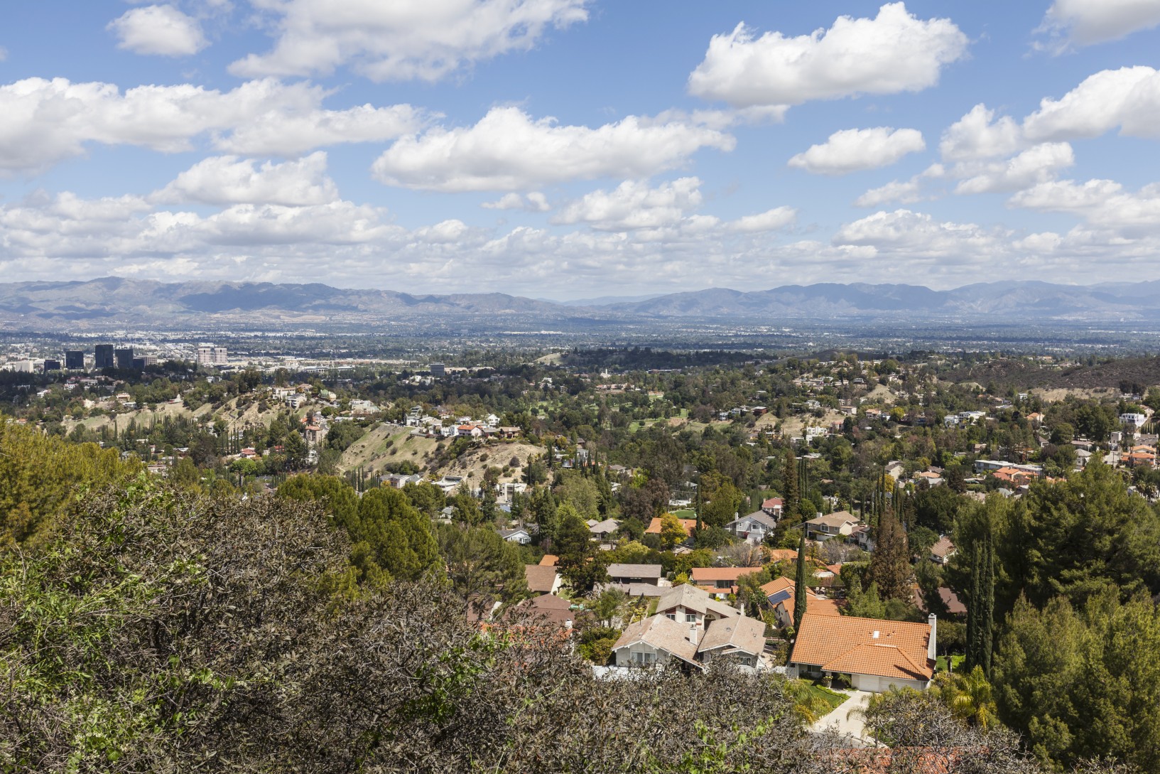
Woodland Hills, California, was officially the warmest location in the US when it hit 90 degrees on Sunday. Oakland broke its previous daily record from 2002 when the temperature rose to 73 degrees.
Another dome of high pressure is forecast to build throughout the week, contributing to the warm and dry pattern over this region. The high pressure is being held in place by a dip in the jet stream located across the northwestern corner of Mexico. Increasing temperatures are expected for many locations through California, Arizona, Utah, and Nevada, with some cities approaching record-high levels of heat for the beginning of December.
For instance, the normal high at the start of this month in downtown Los Angeles is in the upper 60s. However, the mercury will likely register a reading in the lower 80s by Wednesday, what is expected to be the warmest day of the week for the region. The high-temperature record for December 1 is 85 degrees, set back in 1972.
Over in the desert of Palm Springs, the thermometer is predicted to hit the upper 80s by the middle of the week. This is a departure from the usual low 70s of early December.
California is not the only state that will be feeling the heat. Other cities that may challenge records include Las Vegas and Phoenix.
The overnight lows will also be well above normal this week. Forecast lows in the Los Angeles area are only expected to drop to about 60 degrees. This compares to an average of about 50 degrees for this time of the year.
The combination of the dip in the jet stream and the dome of high pressure will partner together to deliver offshore winds to the region. While winds were on the strong side Monday and Tuesday, another Santa Ana event is expected to bring even stronger gusts on Wednesday.
The good news is that this round of Santa Ana winds is not expected to be as severe as the events of the last few weeks. However, forecasters caution that it will still be enough to raise the threat of wildfire danger.
Wind gusts are predicted to peak in the 30-50 mph range. This will inevitably reduce visibility out on the road while keeping the fire danger high. The ongoing drought conditions are not helping the matter. According to the US Drought Monitor, over 80% of California is still under an extreme drought designation.
Officials are cautioning residents to remain vigilant about this fire risk, particularly as people kick off the Hanukkah holiday with the lighting of the menorah.
The long-range forecast shows that the strong winds and warm conditions will likely abate as the weekend approaches. The region will settle back to seasonal temperatures for the first weekend of December.

January 21, 2024

January 19, 2024

January 18, 2024
