Heavy Rain, Flooding, and Chance of Severe Weather Staring Down the Southern U.S.
January 22, 2024
Posted: October 19, 2021 4:53 pm


The climate pattern of La Niña is once again in effect this year, lending a heavy influence to the winter weather predictions coming up for Canada. While many people may think that Canadian winters are all snow and cold, that is not always the case, particularly in the coastal areas. Here is what Canadians can expect this year for winter weather patterns and how they may depart from average conditions.
Just like the winter of 2020, it is another La Niña year for North America. Last year’s La Niña pattern brought unseasonably warm temperatures to much of Canada in January, with some areas nearly sweltering in weather that was as high as 40 degrees Fahrenheit above normal. However, February brought much colder weather with many cities setting record low temperatures.
According to the National Oceanic and Atmospheric Administration (NOAA), the La Niña phase was back in place again by the middle of October. This pattern is marked by sea surface temperatures in the equatorial Pacific Ocean that fall below average. With this weather pattern again in place, the nation could be in store for a yo-yo pattern of temperatures.
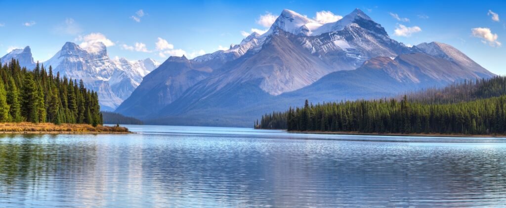
This phase means that the western portion of Canada will likely see colder temperatures this winter as the polar jet stream becomes the major weather maker. This active jet stream also has a tendency to deliver stormier conditions. This excess of rain will be most prevalent throughout the southern tier of British Columbia and throughout the Canadian Rockies.
In addition to the cooler than average temperatures and the likelihood of heavy rainfall, the weather pattern will also raise the risk of frequent strong winds in the coastal areas. The good news for the Coastal Range in British Columbia is that the La Niña pattern will set up the popular ski resorts such as Whistler with more beneficial snow than usual.
The rain will be a welcome sight for people living in Vancouver, an area that has been under drought conditions lately. The dry spring and summer in the Pacific Northwest stretched as far north as Vancouver, putting some of the south-central portions of British Columbia in an ongoing severe drought. More rain over the last few weeks has already begun to ease this issue.
While the moisture will be flowing in the southern tier of the province, the projected storm tracks this winter will be positioned farther to the south than the north. This could mean that the northern part of British Columbia and the Yukon may end up with less snow than usual in the coming months.
Although more rain and cooler temperatures will be the story in the west, it will be a different pattern in the central Canadian prairies. The cold temperatures of the La Niña phenomenon will meet with the polar vortex to create a high chance of a winter that is much colder than normal for this area of Canada.
Weather experts are forecasting that the polar vortex normally in place above the North Pole will make frequent appearances in central Canada during the winter months, leading to bitterly cold temperatures. Readings may end up being 20 degrees below zero Fahrenheit on some occasions, giving the 2021-2022 winter the chance of being even colder than what the region saw during the record-breaking 2013-2014 season.

The temperature readings are expected to be about three degrees Fahrenheit below normal for much of the southern prairies. The coldest measurements will likely be throughout the provinces of Alberta and Saskatchewan. Over in the provinces of Quebec and Ontario, the increasing presence of the polar jet stream this year may mean more snowfall.
The southward plunge of the polar vortex will also have a secondary effect of bringing more winter storms to the northern US. This could translate into more snow and cold for the Rockies and southern Plains before the track moves back up into the eastern half of Canada.
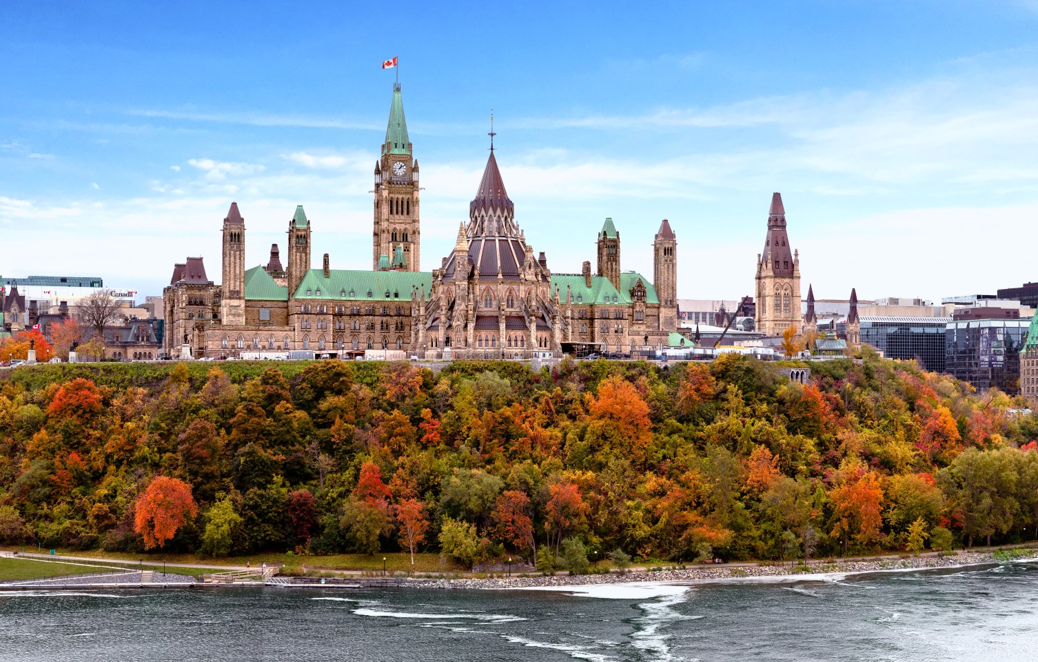
It will be a different story for eastern Canada with meteorologists predicting that this region may see warmer temperatures than usual. A milder winter is likely to be the story in cities such as Montreal, Toronto, and Ottawa.
Because this is Canada, even a warmer than average winter will still produce plenty of snowfall. Skiers and snowboarders should not be worried that this weather pattern will limit their recreational opportunities out on the slopes this year. Despite the warmer temperatures, the city of Toronto is still forecast to see an above-average year when it comes to snowfall totals.
La Niña will also influence the water temperatures in the Atlantic Ocean. With warmer than average sea surface temperatures pairing with the storm track moving more to the north and the west, it is more likely that Atlantic Canada will experience a mild winter. The increased cloud cover will keep temperatures warmer in the overnight hours by trapping heat at the surface of the ground.
However, forecasters warn those living in Atlantic Canada that the milder conditions may come to an end toward the end of the winter period. A change in the predicted patterns may boost the odds of frequent bouts of snow for the provinces of Nova Scotia, Prince Edward Island, and New Brunswick.
There will also be a higher chance for nor’easters and other potentially strong coastal storms as the winter wraps up in February and early March. This will be the result of the cold air pushing in from the east colliding with the warm waters in the northwest Atlantic Ocean. As these forces clash, it will trigger the development of stormy conditions to a greater degree.

January 21, 2024

January 19, 2024

January 18, 2024