
Heavy Rain, Flooding, and Chance of Severe Weather Staring Down the Southern U.S.
January 22, 2024
Posted: June 25, 2022 8:25 am


After forecasting another active Atlantic hurricane season, meteorologists have been somewhat surprised that it has been a relatively quiet start to the year for tropical weather events. In fact, the year 2022 is coming in well behind the pace of the last two record-breaking seasons when it comes to the development of named storms. Is this all about to change in the coming week?
Hurricane watchers are pointing to a few signs that indicate that tropical activity may fire up by the end of June. A series of disturbances are currently coming off of the coast of Africa, increasing the odds of tropical development heading into July.
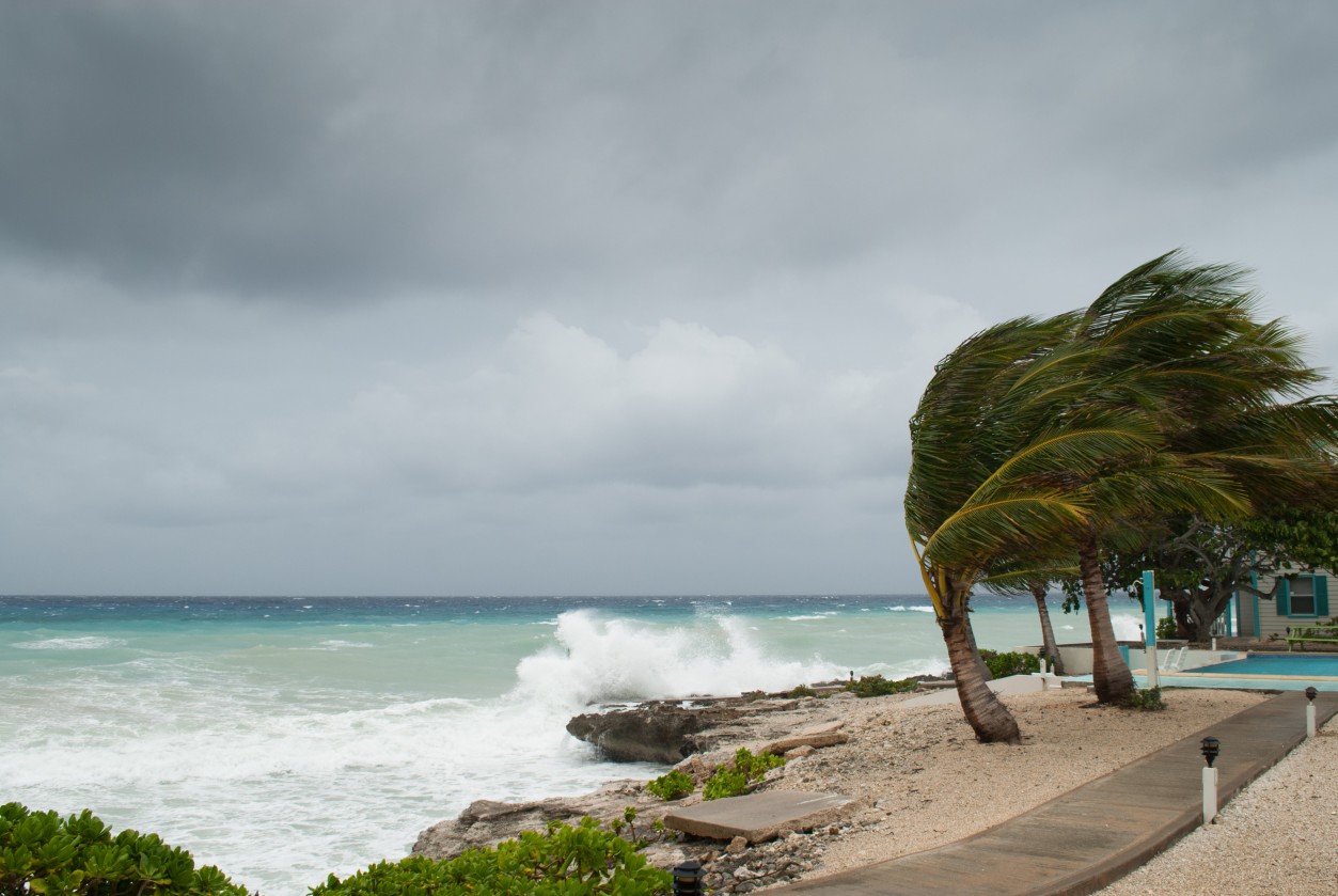
The waters of the Atlantic Ocean have been a hostile environment over the last few weeks as dry air and dust from the Sahara plume paired with straight-line winds have kept tropical development suppressed. These types of atmospheric conditions are known for their ability to keep tropical features from forming and strengthening. Without the necessary conditions at play, tropical waves moving to the west near the equator are not given the opportunity to grow and intensify.
The few tropical waves that are developing are hugging the equator, preventing them from moving toward the U.S and the Caribbean. However, forecasters are now cautioning that because the parade of tropical waves are positioned so far south these days, they might be able to avoid the dust and dry air positioned farther to the north. This means that one or more of these waves may find the energy needed to survive the journey across the Atlantic basin.
Experts at the National Hurricane Center (NHC) have been eyeing one particular wave that came off the coast of Africa during the middle of the week. As this wave continues its track to the west, it has been able to move out some of the dry air in its way, replacing it with moist air more conducive to tropical development. The NHC has designated this feature Invest 94L, a name given to waves that are under the close watch of the agency.
If this wave has any chance of developing into a named storm, it will likely need to move to the north so that it avoids a crash course with South America. Any tropical feature strengthens more quickly and with greater intensity as it moves through open waters as land greatly inhibits its growth.
Forecasters are predicting that the current 94L may meet up with moisture-laden air containing less wind shear and dust if it reaches the Caribbean. Should this happen, the development would not likely happen until sometime well into next week. While it is still too early to pinpoint, the current steering patterns over the Atlantic suggest that this development would most likely head in the direction of Central America rather than the U.S.
The NHC will also be monitoring a new tropical wave that is moving in behind Invest 94L. A cluster of storms over the northern Gulf of Mexico also has the potential of joining together to create havoc for the coastal areas of Texas later in the week.
It has been calm in the Atlantic basin since Tropical Storm Alex broke up on June 6. The year 2021 had already seen five named tropical storms by the beginning of July in Ana, Bill, Claudette, Danny, and Elsa. As the last storm to take root last June, Elsa came together as a named feature during the waning hours of June 30 before reaching hurricane status in the Caribbean on July 2.
The next named storm in the Atlantic basin will be called Bonnie. It is important to note that although conditions are quiet now, this does not mean that 2022 will fizzle out. It is typical behavior for the Atlantic to stay fairly docile in July and early August before firing up in earnest later in the summer and into the fall.
Did you find this content useful? Feel free to bookmark or to post to your timeline for reference later!

January 21, 2024

January 19, 2024

January 18, 2024
