Heavy Rain, Flooding, and Chance of Severe Weather Staring Down the Southern U.S.
January 22, 2024
Posted: March 13, 2022 3:42 am


Warmer Temperatures in Store for the Middle of the Week
The bulk of the snow and severe weather may be over for the East Coast, however, a variety of dangers will stick around for the region to close out the weekend.
Saturday’s monster winter storm was a fitting way to close out the season. In addition to bringing heavy snow and strong winds in an area stretching from the central Appalachians through New England, the system also delivered severe weather to the Gulf Coast and Florida.
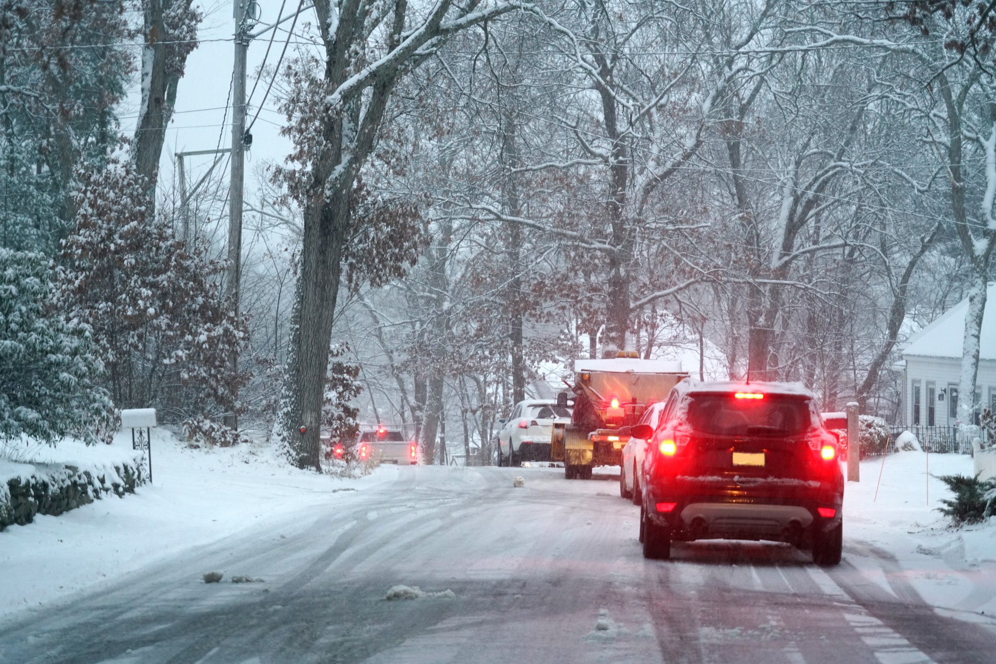
Even after the snow has moved on, motorists in the Northeast need to be ready for slippery travel conditions and gusty winds throughout the weekend. Temperatures that continued to drop overnight Saturday caused standing water to freeze up. This means that even if your area escaped with mere slushy conditions on Saturday, you may be in for a slick mess on Sunday.
The strong winds are bringing the real feel temperatures down even further. Just because the ground was warm from last week’s springlike weather, it does not mean that the water on the ground will not have the chance to freeze up.
An area of low pressure that developed quickly over the region is part of the reason why the winds were able to gain intensity so quickly on Saturday. As this happened, the frigid air was ushered into the area along with the mass amounts of precipitation.

This bitterly cold air is forecast to linger in the Northeast through the weekend, bringing readings that are below average for a large part of the region. This includes cities such as Boston and Philadelphia. Some places in this area woke up to temperatures in the single digits on Sunday, serving as a reminder that it is still officially winter despite the warm weather as of late.
The winds will drive down the temperatures even further, making it one of the coldest mornings in recent memory. It may be next winter before these types of readings are seen again. The high temperatures for the Great Lakes and New England on Sunday will struggle to get out of the 30s and 40s, translating to readings that are about 5 – 10 degrees below normal.
Yet another minor weather maker is set to sweep through parts of the Northeast late Sunday when a weak system moves down from southern Canada. While this system will not pack a lot of moisture, it will still bring the chance of light snow showers through portions of the interior Northeast.
The areas most likely to see flurries and light accumulations include parts of Pennsylvania and New York. One more system may push through on Sunday, bringing the threat of spotty snow showers or rain to the same part of the U.S.
Just as the official start of spring approaches, residents of the East Coast can expect to see another warmup. Temperatures are forecast to rebound by the middle of the week. Readings will likely be 30 – 40 degrees higher than the lows that were recorded this weekend. By the time the week comes to a close, the temperatures will be hovering slightly above normal for the middle of March.
For example, highs will be in the 50s and lower 60s by Tuesday for much of the Northeast. This trend will continue for at least two days. Despite the warming temperatures, it is still possible for leftover patches of slush to freeze over in the overnight hours as the temperatures plummet.

January 21, 2024

January 19, 2024

January 18, 2024