
Heavy Rain, Flooding, and Chance of Severe Weather Staring Down the Southern U.S.
January 22, 2024
Posted: November 16, 2021 10:12 am


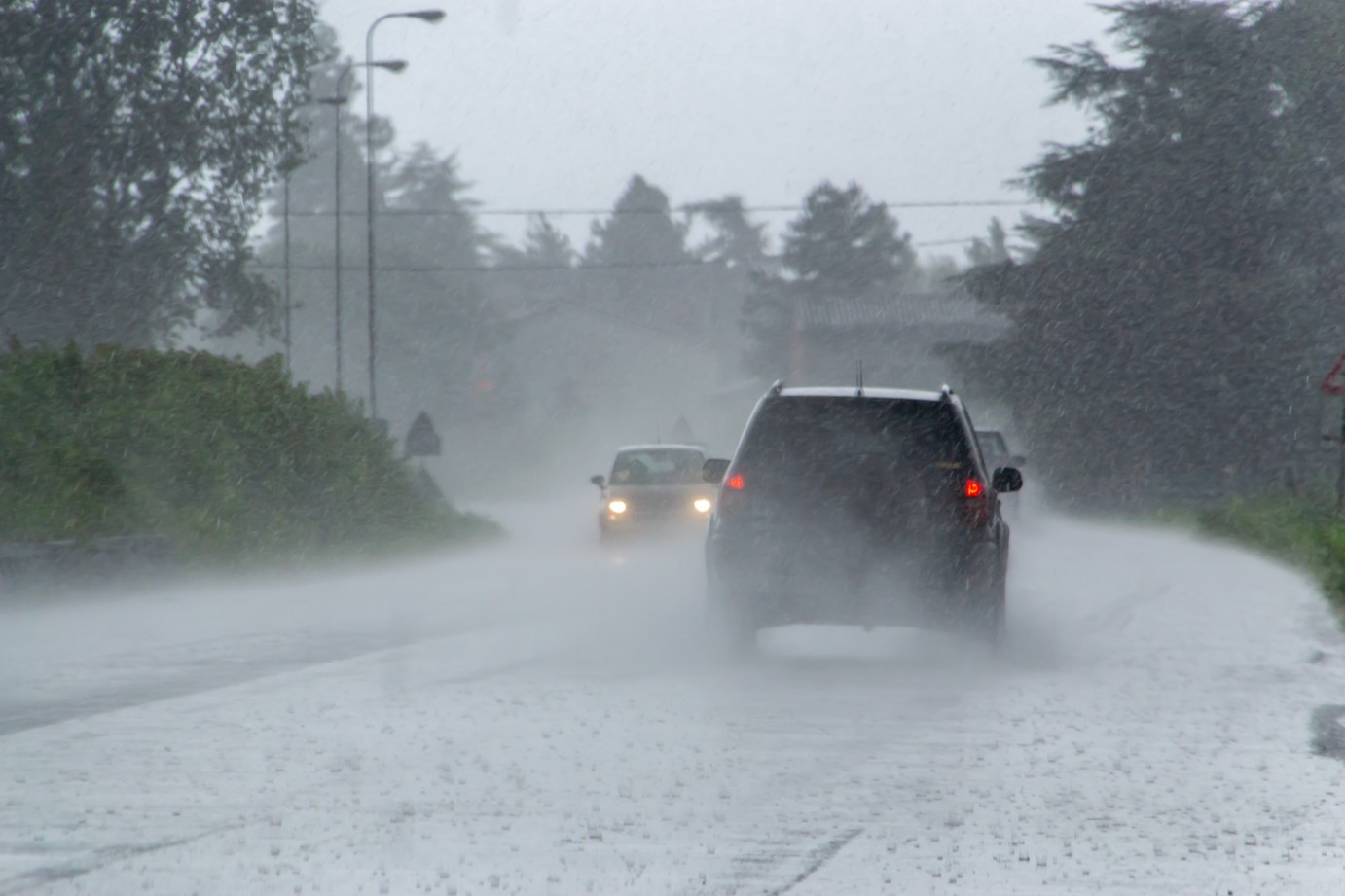
It has been anything but dry in the Pacific Northwest over the last several days. What is known as the pineapple express has set up over the region, forcing the evacuation of residents at the hands of intense flooding and mudslides.
A pineapple express is an atmospheric river that brings heavy rainfall and warmer temperatures as it draws up moisture from Hawaii in the tropics of the Pacific Ocean. This type of weather pattern is a common occurrence in the Pacific Northwest during the fall and winter months. While the warmer temperatures may feel nice, they are accompanied by the rich amount of moisture coming up from the tropics.
The southern tier of British Columbia has been dealing with the worst of the weather. Some residents were forced to shelter in place when a highway between Hope and Popkum was covered with mud after a mudslide. As a result of the relentless rain and flooding, a number of people in the city of Merritt had to be evacuated early Monday.
Moving down to the south just over the Canadian and US border, the county of Whatcom, Washington, was forced to declare a state of emergency because of the heavy rain. Nearly three dozen first responders aided in the rescue efforts of about 10 people who were trapped in their vehicles on Monday after a mudslide washed out a highway.
The Sumas Police Department issued a shelter in place order after rising floodwaters raged through the town and crested over a well-traveled bridge. Over on the coast, some homes in Forks were evacuated because of the heavy rainfall.
Rainfall measurements over the last three days came in at almost 10 inches in some places. The National Weather Service (NWS) reported 9.60 inches in Quinault, Washington, with 9.40 inches recorded in Mount Baker.
Many customers throughout the region were without power thanks to downed lines and trees. As of mid-day, there were nearly 80,000 customers without power in the state of Washington.
At least one dozen rivers were placed under flood warnings by the NWS as the rain fell in copious amounts. Rivers that were overflowing by Monday morning included the Nooksack River in North Cedarville and the Skagit River near Mount Vernon, both in Washington. Forecasters in Mount Vernon expect that the river will break its record by Tuesday.
When Will the Region Dry Out
Precipitation amounts began tapering off on Monday night. However, the risk of flooding will continue through Tuesday as river banks continue to rise. In addition, the storm will move toward the east on Tuesday, bringing a greater chance of snowfall to the Cascade Mountains. While the snow may cause minor disruptions, it will be the wind that is a greater threat for the higher terrains.
The system will continue its trek inland through the week, bringing windy conditions to a large swath of eastern Washington and northern Idaho. The potential for damaging winds will expand as far east as Montana in the coming days.
By Wednesday, this corner of the country should expect to see the weather stabilize. However, a new system is expected to come onshore by Thursday. This system will primarily affect areas farther to the south, including Oregon and Northern California.

January 21, 2024

January 19, 2024

January 18, 2024
