Heavy Rain, Flooding, and Chance of Severe Weather Staring Down the Southern U.S.
January 22, 2024
Posted: January 19, 2024 11:51 am


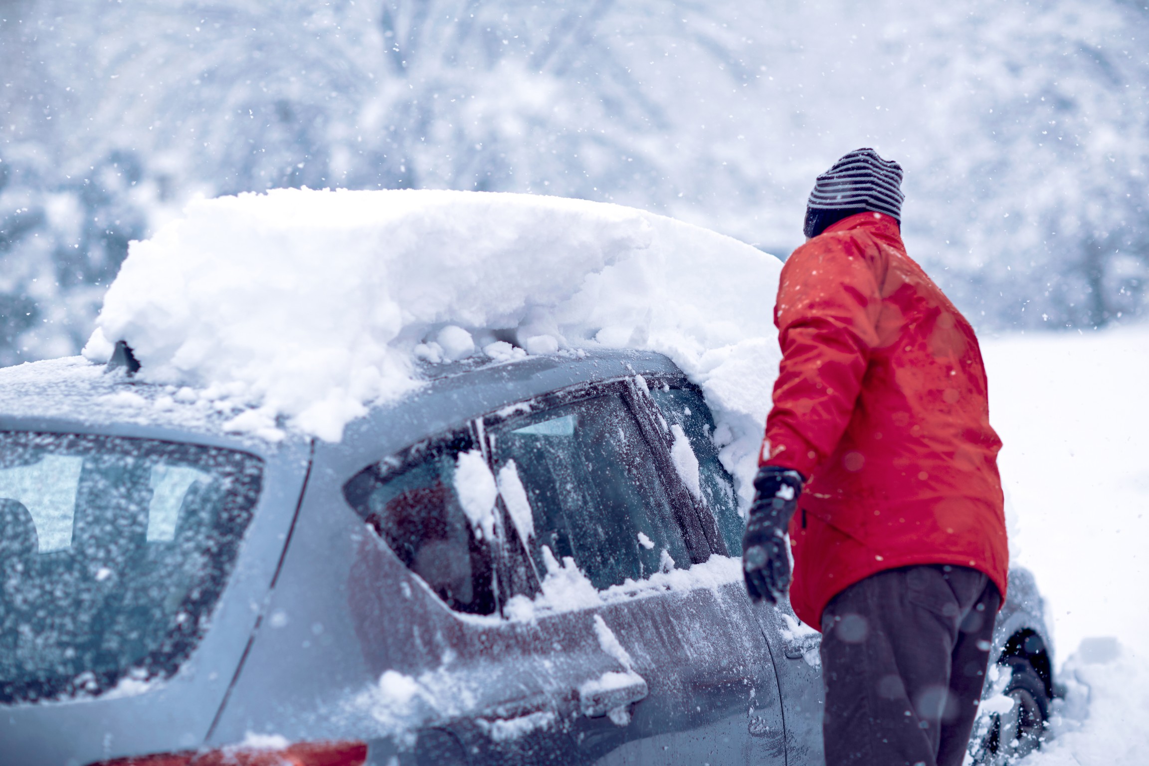
The lake-effect snow machine is going to ignite again heading into the weekend at the hands of another rush of Arctic air swooping down from the north. Forecasters are warning that this round of snow will likely have far-reaching travel impacts, particularly for areas located downwind of the Great Lakes. Here is the latest information on this developing weekend forecast.
Weekend Lake-Effect Snow Will Trail Existing Winter Weather Maker
The new wave of lake-effect snow will fire up late this weekend and linger through the weekend for the Great Lakes region and the interior portions of the Northeast. While the winter began on a moderate note, the area has been under its coldest blast of air of the season over the last few weeks.
The weekend lake-effect snow will track closely behind another winter storm that is currently moving from the Midwest and into the eastern U.S. to close out the work week. Some communities will not be able to discern the end of the winter storm system and the beginning of the lake-effect snow due to the short amount of time between the two weather makers. The result will be about two days of persistent snow.
The chances of lake-effect snow are typically higher at the start of the winter season and toward the end. This is because the snow is created when cold air churns over the warmer waters of the lakes. However, warmer than usual lake water late in the season has led to the weather phenomenon happening more regularly deep in the winter this year.
The upcoming lake-effect snow event will happen when the wind shifts direction coming in behind the late week storm. This shift will generate the snow bands and bring the mercury down to lower levels. Meteorologists are predicting that this change in wind direction will also bring the snow to different areas that might have missed out on the week’s earlier wintry weather. Communities across northwestern Indiana and Pennsylvania, the northeastern corner of Ohio, and the southern shores of Lake Ontario are expected to take the brunt of the latest lake-effect event.
It was western New York that saw the largest amount of accumulation from last week’s lake-effect snow. The snow was so heavy in this part of New York and the winds were so high that the NFL was forced to postpone the playoff game between the Pittsburgh Steelers and the hometown Buffalo Bills.
Timing of Lake-Effect Snow
You can expect the lake-effect snow to start flying early Friday in areas downwind of Lake Michigan. Later in the day, the snow will take hold in areas south of lakes Erie, Huron, and Ontario. The snow will begin to dissipate Saturday morning when the wind switches direction, however, the bands will then set up farther east as the weekend progresses.
The weekend lake-effect snow will impact portions of northern Indiana, eastern Ohio, western Pennsylvania and Michigan, West Virginia, and southern New York state. Several inches of snow is in the forecast for this region to add to the accumulation from the current winter storm system.
Road travel is likely to be compromised across some stretches of interstates 71, 80, 86, and 90. The intensity of the snow will make it difficult for road crews to keep up with the accumulation as it falls at rates of up to 3 inches per hour. High winds will also cause blowing snow, leading to reduced visibility.
Lighter accumulations are expected in areas such as Pittsburgh. The Steel City is expected to pick up 1 to 3 inches of snow on Friday with just a few flurries lingering in the overnight hours and into Saturday.
The major metropolitan areas along the Interstate 95 corridor from Boston and down into Washington, D.C. will not see any lake-effect snow this weekend. However, the late-week snow that fell along this corridor will be whipped up as the storms come in behind the system. This will raise the risk of blowing and drifting snow for much of the region.
Dangerous wind chills will also be something to watch out for this weekend in the Northeast. The shift in the wind direction will work to reinforce the already frigid air temperatures. The mercury is forecast to plummet up to 20 degrees lower on Saturday when compared to the end of the week, putting temperatures in the teens and single digits for highs across the Northeast. Real feel readings will easily drop below zero degrees when combined with the cold winds.
Moderate Temperatures on the Horizon for Next Week
The good news for those ready for the cold air to abate is that a milder weather pattern is forecast to set up over the Great Lakes and into the Northeast by next week. Temperatures are expected to climb back into the 40s for highs for the Northeast, more typical for this time of the year.
The great thawing out will also bring milder air to the Plains and the Midwest before pushing into the South. Highs will land in the 50s and the 60s by the beginning of next week for much of the southern U.S. This thaw is forecast to hang on through the end of January before the next intrusion of cold air arrives as the calendar flips to February.
What is causing the thaw? Meteorologists said that the reversal in the cold air is due to the breakup of the high pressure hanging out near Greenland. This high pressure will abate and bring in a zone of low pressure that will allow milder air to move in from the Pacific Ocean and trap the cold air to the north in Canada.
Did you find this content useful? Feel free to bookmark or to post to your timeline for reference later.

January 21, 2024

January 19, 2024

January 18, 2024