
Heavy Rain, Flooding, and Chance of Severe Weather Staring Down the Southern U.S.
January 22, 2024
Posted: November 4, 2022 10:24 am


The western half of the U.S. is going to be under the gun for a highly unsettled weather pattern through next week. A number of storms full of moisture and cooler temperatures will infiltrate the region in the coming days, delivering miserable conditions for many locations.
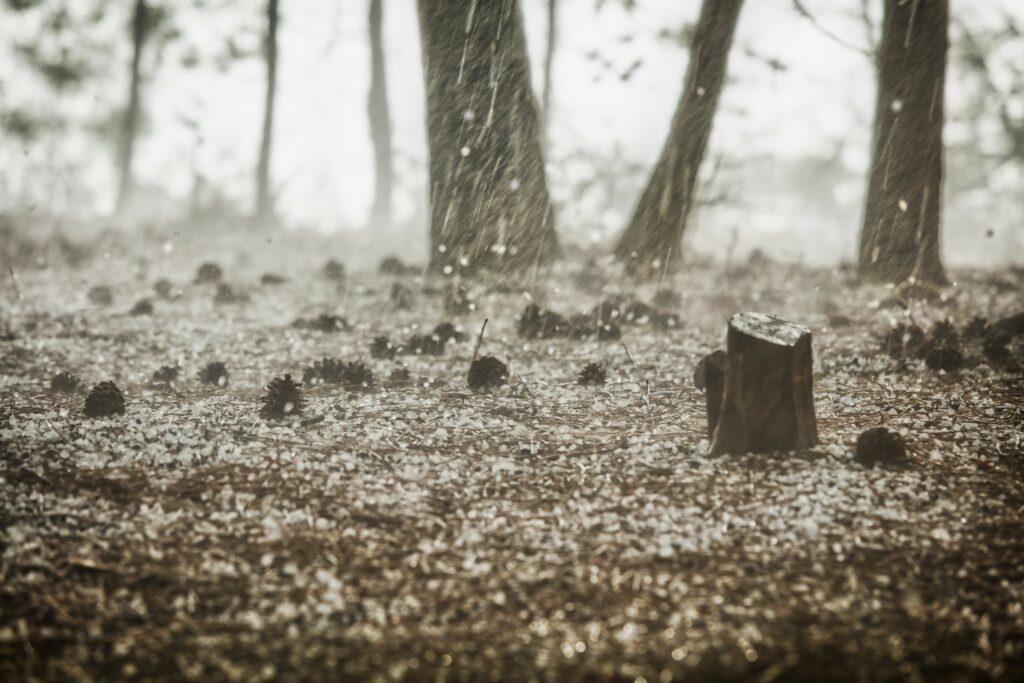
The first storm will move into the area on Friday from the Pacific Ocean, bringing rain to the lower elevations and snow to the higher terrains. An atmospheric river is forecast to set up over Washington, Oregon, Idaho, and Montana on Friday and Saturday, drenching the area with significant amounts of moisture. While the moisture will first fire up in British Columbia, Canada, it will eventually move to the south into Oregon.
The west-facing slopes of the Cascades and Olympics can expect to see 4 – 6 inches of snow with 8 inches possible in localized spots. The snow will fall below the mountain passes on Friday, complicating travel for motorists trying to cross these ranges. However, the snow levels will rise to about 7,000 feet by Saturday.
What was once snow at the lower elevations of the mountains will transition to rain. This will translate to a greater risk of mudslides and flash flooding. The areas that have been recently touched by wildfires will be most at risk due to the presence of burn scars. Forecasters are also warning that flooding may result from rivers that overflow due to the fire hose effect of the moisture.
Although temperatures on Friday will stay relatively mild, the region should be prepared for cooler air pushing through by Saturday. The change in the mercury will trigger the possibility of dangerous road conditions in the Cascades Mountains in the overnight hours Friday and into Saturday.
Several inches of new snow is expected on Snoqualmie Pass, the major thoroughfare throughout Washington State on Interstate 90. While crews typically do a good job clearing this pass, roads may become icy or snow packed when the white stuff starts falling at a fast clip.
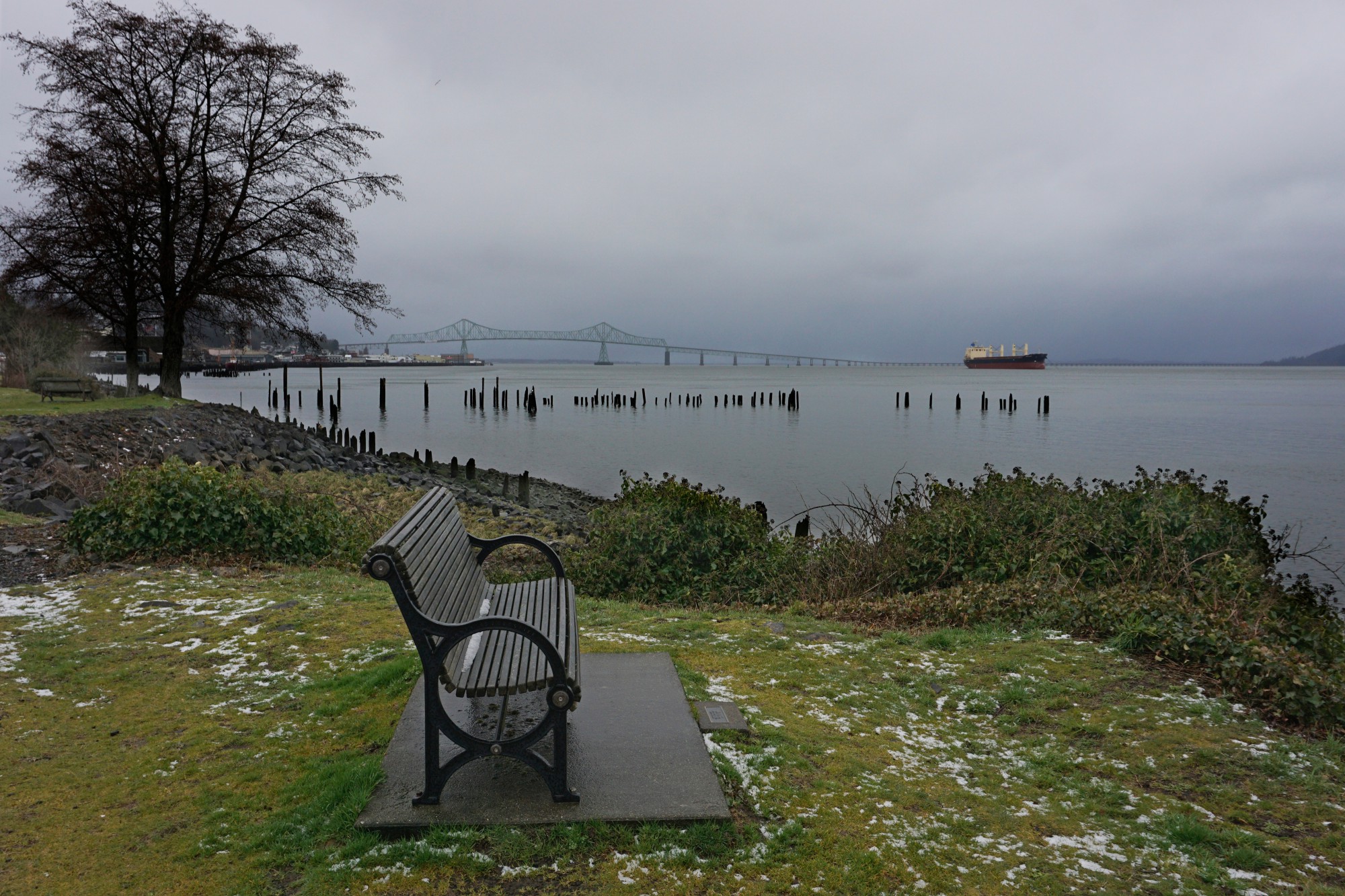
Major cities such as Portland and Seattle can expect to see cold rain out of this first system. The second system predicted to arrive early next week may have enough moisture and cold air to bring snow to the foothills of these two Pacific Northwest cities starting late Sunday and continuing through Tuesday.
The best odds for snow in the Seattle area will come Monday night when accumulation levels may drop to 500 feet. The Emerald City typically does not see its first accumulation until late in December.
This early week system will eventually migrate far enough to the south to deliver a good chance of rain and mountain snow to Northern California. Ski resorts in the northern and central Sierra Nevada are hoping that this system will bring significant snow to the area. At this time, forecasters are predicting a few inches of new snow between 5,000 and 7,000 feet and snowfall measurable in feet in areas over 7,000 feet. The bulk of this snow will fall on Monday and Tuesday.
The lower elevations of Northern California are forecast to see heavy rain on these same days. Cities in the line of fire include Sacramento, San Jose, and San Francisco. Even Southern California may get in on some of this action, including the metropolitan areas of San Diego and Los Angeles.
The storm system is forecast to move inland by the middle of next week, bringing snow to the mountains of northern Arizona and into Utah, Wyoming, and Colorado along with the colder temperatures.
Did you find this content useful? Feel free to bookmark or to post to your timeline for reference later.

January 21, 2024

January 19, 2024

January 18, 2024
