
Heavy Rain, Flooding, and Chance of Severe Weather Staring Down the Southern U.S.
January 22, 2024
Posted: November 9, 2022 10:14 am


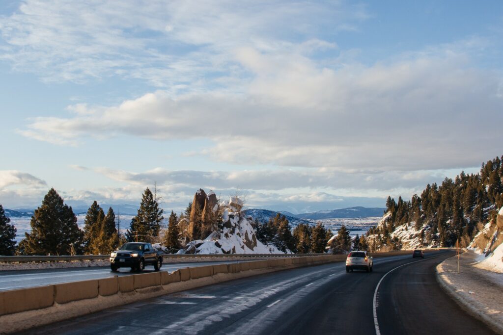
The West Coast has been under the impacts of a series of storms coming in from the Pacific Ocean over the last several days. This latest system is forecast to bring its impacts over the Rockies and into the northern Plains in the coming days.
Before the intense weather maker reaches the central portions of the U.S., it is dumping more heavy rain, mountain snow, and chilly temperatures to California and through the Intermountain West. Both the Sierra Nevada and the Wasatch Mountains are forecast to see feet that will be measured in feet through the middle of the week as the storm pushes to the west. Donner Pass in the northern Sierra Nevada was already shut down Monday night for a time because of a number of vehicle spin-outs.
The system is predicted to intensify even further on Wednesday night and into Thursday. This will put areas such as South Dakota and the northern portions of Minnesota in the line of fire for potential blizzard conditions. Meanwhile, areas to the south are forecast to see a mix of rain and snow starting on Thursday, including the risk of thunderstorms for parts of the Midwest.
While some parts of the northern Plains have seen light flurries already this season, this system will likely be the first major snowstorm of the year for much of the region. In addition to heavy snow, the system will also bring gusty winds that will reduce visibility and hamper travel.
Blizzard conditions are a strong possibility for places such as Fargo, North Dakota and Rapid City, South Dakota on Thursday night and into Friday. Snow and wind that combine to reduce visibility to one-quarter-mile or less for at least three straight hours is defined as a blizzard. Forecasters are predicting that winds will reach up to 50 mph, reducing the visibility to nearly nothing across the northern Rockies and Plains states.
Motorists heading out along some parts of Interstates 29, 90, and 94 will want to pay close attention to the local weather forecast on Thursday afternoon and early Friday. Travelers taking to the air in this region will also want to check their flight status before leaving for the airport. Widespread flight delays and cancellations will be likely.
Snow is expected to accumulate between 6 and 12 inches along parts of Colorado’s higher terrains and into Wyoming and through northern Minnesota. Up to 18 inches of snow is in the forecast for western South Dakota and the northwestern corner of Minnesota.
Casper, Wyoming is predicted to see 3 to 6 inches of new snow while Rapid City may total up to one foot of accumulation. This snow will be quite the shock for a part of the nation that experienced an unseasonably warm start to November. For instance, parts of South Dakota recorded a high temperature of 75 degrees just one week ago, coming close to breaking all-time records.
Colder air will also make its way into the region with this system. The mercury will plummet to below zero in some parts of eastern Montana and the Dakotas on early Friday morning.
Warmer air in the upper levels of the atmosphere may produce sleet and freezing rain for portions of South Dakota and Minnesota in the overnight hours Thursday. These conditions could create icy roadways for the Friday morning commute. Residents in cities such as Duluth and Minneapolis will want to take caution when heading out late Thursday and early Friday.
Heading into the end of the work week, this storm system may deliver blowing snow to a large part of Minnesota on Friday afternoon. While little snow accumulation is expected for Minneapolis, the Twin Cities area is forecast to plummet from a high in the low 60s on Thursday to a high just around the freezing mark on Friday. Even colder temperatures are on tap for the weekend with highs struggling to crack the 30-degree mark.
The Northeast will likely be spared the impacts of this particular storm. The system is expected to move farther to the east into Canada. However, the cold temperatures will move into the Midwest at the tail end of the storm.
Some parts of the Midwest will be at risk for severe thunderstorms on Thursday afternoon and evening as a result of the lingering energy. This includes a zone stretching from southern Minnesota down into eastern Kansas, including the major cities of Omaha, Des Moines, and Kansas City. This region will be under the threat of heavy downpours, strong winds, small hail, and isolated tornadic activity.
Did you find this content useful? Feel free to bookmark or to post to your timeline for reference later.

January 21, 2024

January 19, 2024

January 18, 2024
