
Heavy Rain, Flooding, and Chance of Severe Weather Staring Down the Southern U.S.
January 22, 2024
Posted: November 19, 2022 1:42 am


With a historic snowstorm slamming into the area around Buffalo, New York this week, the term “lake-effect snow” is being used a lot to describe this unique weather pattern. But what exactly is lake-effect snow and how does it differ from a more traditional snow event? Read on for all of the details.
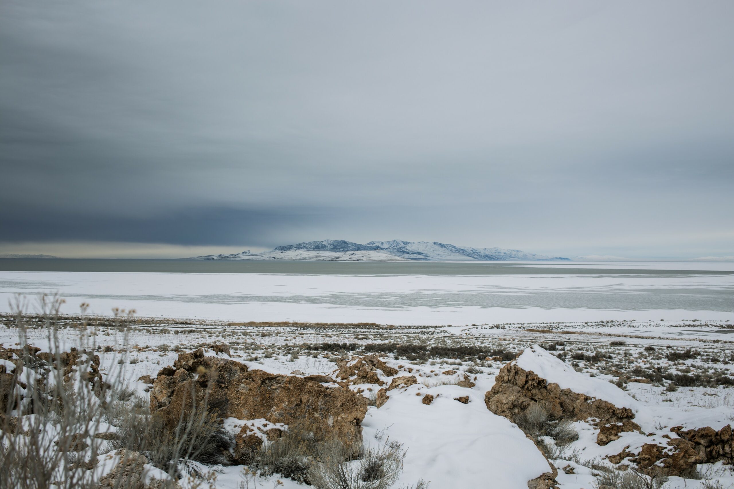
Lake-effect snows in the U.S. most typically happen across the Great Lakes region. One primary ingredient for this type of weather maker is a large body of water. It is most common for these events to fire up during the latter part of the fall and into the early part of the winter season. This is because the snow is most likely to develop when the lakes have not frozen over.
In order for lake-effect snow to take place, there needs to be a temperature difference of at least 23 degrees between the water in the lake and the air located about 5,000 feet above the surface. The heaviest snow bands will develop when the temperature difference is greater than this widely recognized benchmark.
If the temperature difference is in place but the air above the water is measuring above the freezing mark, the moisture will fall as rain rather than snow. This phenomenon is most common during the early parts of the fall season when cooler air moves into the region.
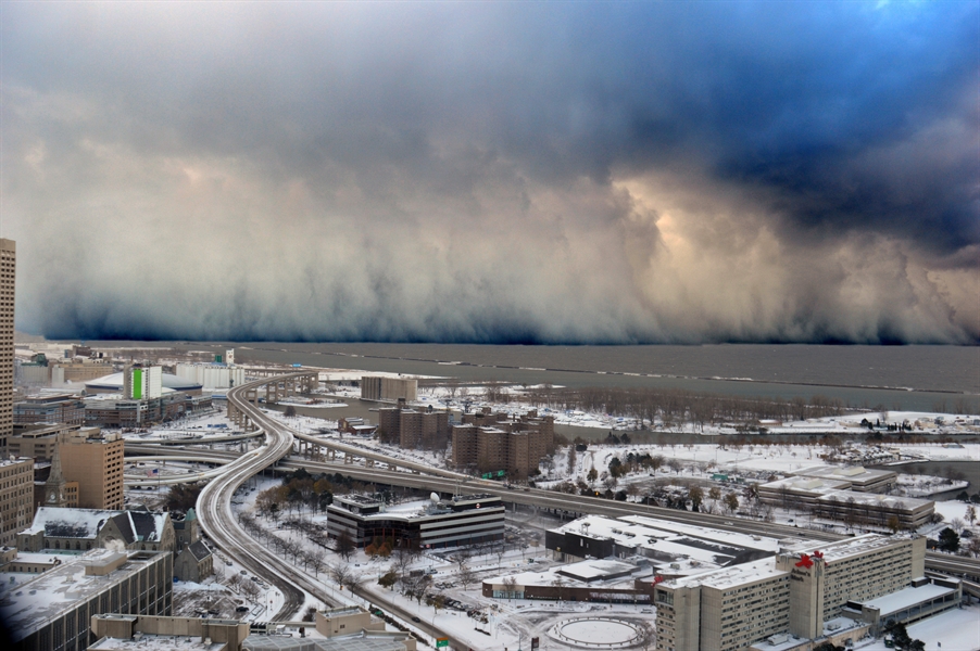
Unlike more typical snow events, lake-effect snow may form in narrow bands. While the bands may vary in width measurements, their length can stretch for up to hundreds of miles. Lake-effect snow can also impact a small zone with the sun shining just a few miles away from the falling precipitation.
Although some lake-effect events only last a few hours, other instances can last for days. The variation in the duration of these events translates to great discrepancies in the amount of snow that may fall as a result.
Lake-effect snow events come with a number of other weather impacts. For example, the snow can also trigger high winds that create blizzard conditions. Some of the worst bands of snow may also generate lightning and thunder.
One of the biggest complications of a lake-effect snow event is the amount of snow that may fall in a short period. You can expect to snow fall at a rate of up to 4 inches per hour in some extreme cases. At this rate of snowfall, road crews have a difficult time keeping up with the accumulation. The accumulation is exacerbated if the wind direction remains the same for a long period.
Meteorologists use the term “fetch” to describe the distance that winds greeted by the storm blow across the lake in a similar direction. More intense bands of snow will form the longer that the fetch is in place. This is because the cold air will be able to pick up more moisture if the winds are moving across a large diameter of water for a longer period of time.
This puts places that are located next to the large lakes at a higher risk of experiencing greater snowfall amounts. For instance, areas near Cleveland are often in the line of fire for severe lake-effect snow if the precipitation gets its start coming off of Lake Huron and then moves into Lake Erie and picks up more moisture.
Other cities that are often at the mercy of these massive lake-effect snow events include Buffalo and Chicago. The most likely lake-effect snowbelts are located in an area stretching through western and northern New York state, the northwestern corner of Pennsylvania and the northeast edge of Ohio, the western shores of Michigan’s Lower Peninsula, northeastern Wisconsin, and the bulk of the Upper Peninsula of Michigan.
While the heaviest of the lake-effect snow bands generally occur closest to the shores of the Great Lakes, the precipitation can sometimes travel over 100 miles downwind. This puts a number of additional areas at risk, including the higher terrains of New York state, most of Pennsylvania, the mountains of West Virginia, and western Maryland. In rare cases, the lake-effect snow may reach as far as the higher elevations of North Carolina and Tennessee and into the coastal areas of the mid-Atlantic.
Historic records indicate that lake-effect snow is most common when the lakes have not frozen. However, this type of snow can still develop when the water has turned to ice. However, there is less snowfall created when the moisture in the lakes are not as readily available for fuel.
In addition, there is also the potential of lake-effect snow heading into the spring. That said, these events during this time of year are not usually as extreme due to the smaller difference between the water temperature and air floating above. Milder winters also tend to translate to lake-effect snow events sticking around for the duration of the season since the lake water does not freeze as readily.
Although most residents of the Great Lakes are familiar with these common winter snow events, the first one of the season can also catch people off guard. This is especially true when they arrive with the intense ferocity of the lake-effect snow storm that moved through Buffalo to end the week.
Did you find this content useful? Feel free to bookmark or to post to your timeline for reference later.

January 21, 2024

January 19, 2024

January 18, 2024
