
Heavy Rain, Flooding, and Chance of Severe Weather Staring Down the Southern U.S.
January 22, 2024
Posted: December 12, 2022 10:57 am


Sunday was a transition day for weather in the Northeast as winter starts to become more entrenched in the region. Is this a sign of more to come?
Temperature Drops in the Northeast
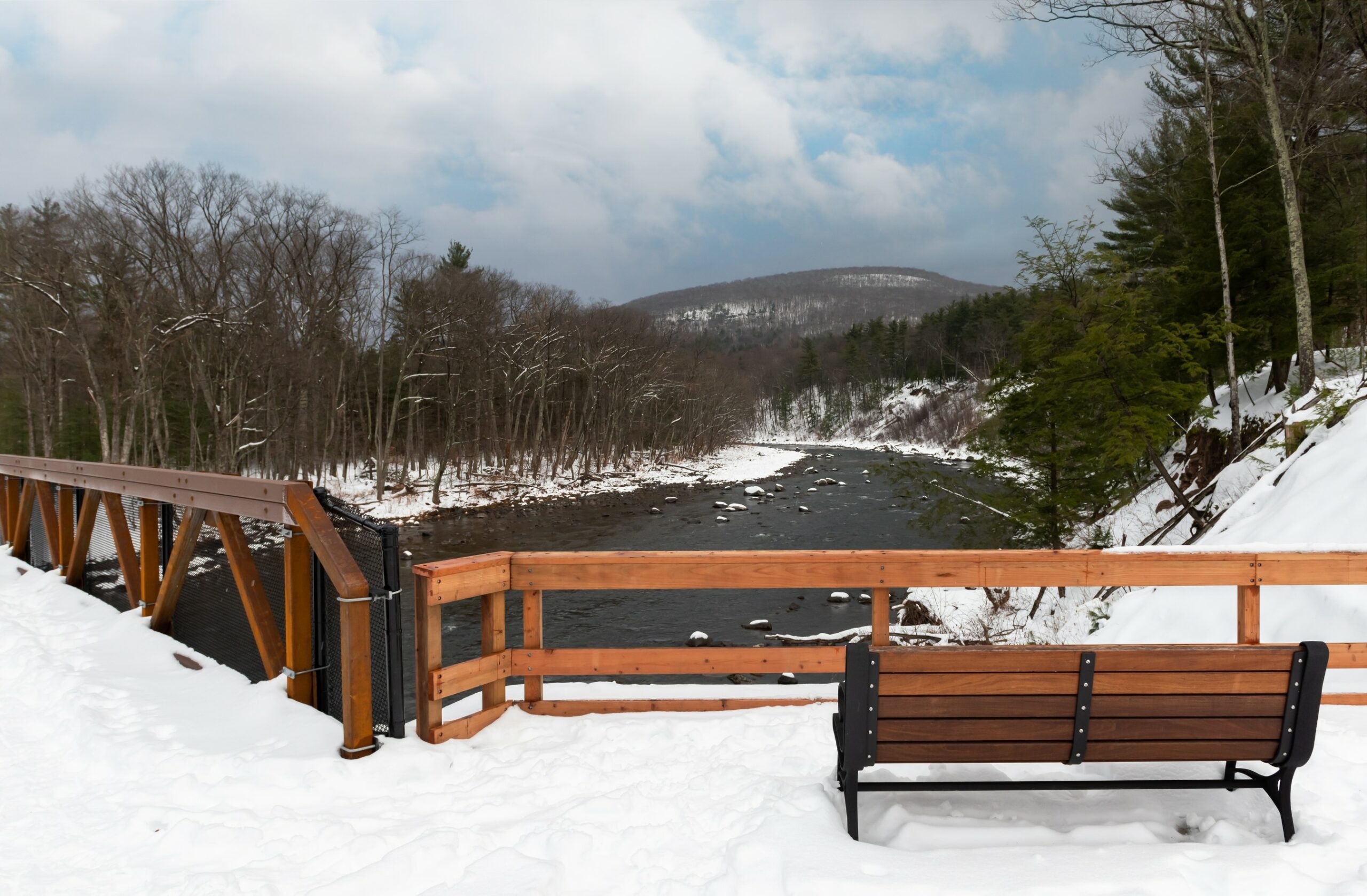
The last day of the weekend was characterized by temperature readings that hovered in the 20s and 30s throughout a large swath of New York, Pennsylvania, and southern portions of New England. Some areas even saw the mercury plunge into the teens in the overnight hours.
The cold temperatures are not the only sign that winter is here to stay. Snow also began to fall on Sunday morning with a few flurries stretching as far east as the Hudson Valley, barely missing New York City.
Road conditions became dicey in central New York state and northern Pennsylvania, particularly after the sun went down. The snow is forecast to stick around until Monday morning, translating to snow accumulations between 1 to 3 inches in a large area from Michigan and into New England. Not surprisingly, the greatest amount of accumulation will be in the mountainous terrains, including the Catskills, Poconos, and the Berkshires. This is good news for winter sports enthusiasts.
Be sure to exercise caution when heading out on the roads Monday. Snow and rain may mix along the coastal areas of the Northeast throughout the day. You also cannot rule out a few flakes in New York City and the northern and western suburbs of Philadelphia.
It was March 27 the last time that the Big Apple saw any trace of snow with the last measurable snowfall dating back to March 9. It has been an even longer drought for Philadelphia with the last accumulation of snow dating back to the end of January of 2022.
Some portions of interstates 80 and 81 may also be dealing with slick conditions through Monday morning. The good news is that warming temperatures throughout the day should make the afternoon commute more manageable.
Be sure to check your flight status if you are headed out for a trip on Monday. Some major airports on the East Coast may need to deploy the deicing machines, potentially triggering delays. Poor visibility may also be an issue that complicates travel.
While the storm system is forecast to push out into the Atlantic Ocean by the middle of the day, leftover snow and slush may melt and refreeze when the temperature begins to drop again Monday evening and in the overnight hours into Tuesday.
Residents will have time to catch their breath on Tuesday before another storm system moves into the eastern U.S. later in the week. Along with another shot of wintry precipitation, colder temperatures coming down from Canada will make it more likely that meaningful winter impacts hit the major metropolitan areas of the Northeast.
Did you find this content useful? Feel free to bookmark or to post to your timeline for reference later.

January 21, 2024

January 19, 2024

January 18, 2024
