
Heavy Rain, Flooding, and Chance of Severe Weather Staring Down the Southern U.S.
January 22, 2024
Posted: December 13, 2022 11:48 am


Storm Will Hang Around for Days Before Moving to the Northeast
The flakes are already flying throughout the northern Plains, prompting the declaration of a blizzard warning.
This incoming blizzard is part of the same storm system that churned up in the Pacific Ocean over the weekend. The cross-country weather maker got its start by unleashing heavy rain in coastal cities in California before dropping massive amounts of snow in the Intermountain West.
After creating blizzard conditions in the northern Plains, the system is forecast to move into parts of the Midwest later in the week. This is a typical track for a storm of this magnitude during this time of the year.
The National Weather Service (NWS) issued blizzard warnings for portions of five states, including western areas of Nebraska and South Dakota, the northeastern corner of Colorado, southeastern Wyoming, and the eastern edge of Wyoming. Winter storm warnings extended across a larger swath of land within the northern Plains with winter storm watches reaching as far as the Upper Midwest.
An area of low pressure began to form late Monday over parts of Colorado and Kansas, working to bring moisture-rich air up from the Gulf of Mexico. This moist air is clashing with the cold temperatures swooping down from Canada, triggering the threat of severe thunderstorms in the southern Plains and the Southeast as well as large amounts of snow in the northern U.S.
The temperatures will really take a tumble by Tuesday, helping to aid the snow production. The worst of the snow is forecast to hit late Tuesday and early Wednesday. The primary impact zone may see snowfall rates that hit a few inches per hour, allowing the snow to pile up quickly.
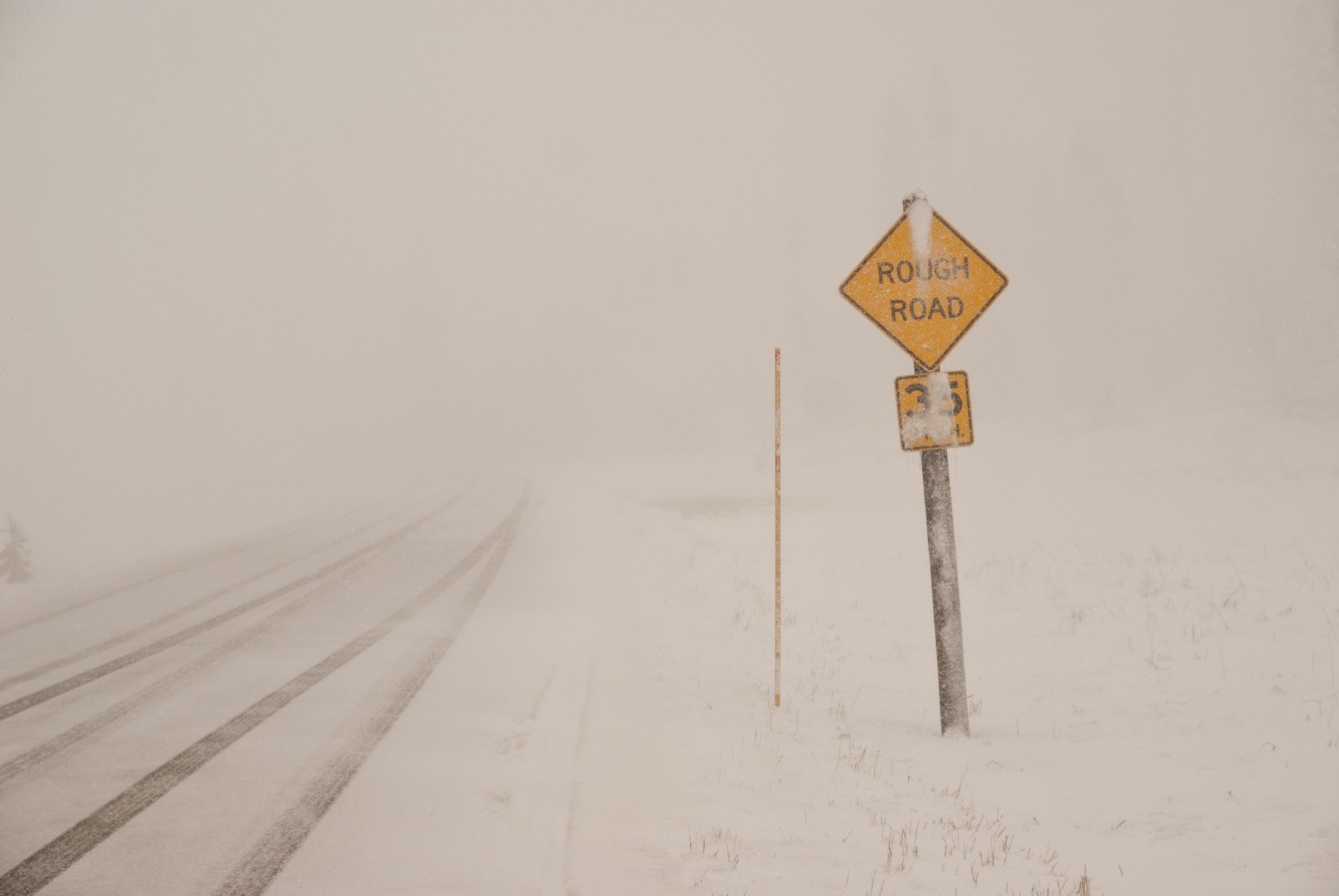
High winds will also be an issue as the snow intensifies with gusts hitting over 60 mph. The strong winds are forecast to combine with the heavy snow to trigger blizzard conditions. In meteorological terms, a blizzard is defined as a snowstorm that is paired with winds measuring at least 35 mph and visibility that falls to less than a quarter of a mile for three straight hours.
Forecasters are warning that the storm will continue to strengthen Tuesday night and into Wednesday, sending the wintry precipitation into Minnesota and Wisconsin prior to the morning commute. Because of the warm air anchored over the region prior to the storm’s arrival, motorists should also be prepared for an icy mix before the flakes start to fly.
The greatest risk of substantial ice will be over the central and southern portions of Minnesota. It does not take a lot of ice to turn roads into skating rinks and to bring down power lines and tree branches. Meteorologists are warning that the ice may be a bigger danger than the snow.
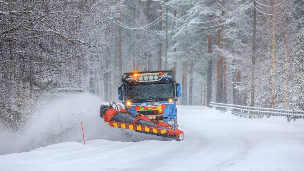
The northern tier of Minnesota, Wisconsin, and Michigan is predicted to see heavy snow on Wednesday with the potential of up to 2 feet of snow in this part of the Upper Midwest and in the northern Plains. A storm of this magnitude will likely make some roads impassable. Interstates 90 and 94 may be forced to close as a result of the treacherous conditions.
Be sure to have a plan to ride out the storm in a safe place if you live in the crosshairs. In addition to the fast rate of falling snow, the slow moving nature of this storm will also make it particularly dangerous. It will be the end of the week before the storm finally dissipates.
The system is forecast to make its way to the Northeast by the end of the work week. Forecasters are still uncertain as to how much energy will remain within the system as it lands on these heavily populated areas. You will want to stay tuned to your local forecast if you live in this corner of the U.S.
Did you find this content useful? Feel free to bookmark or to post to your timeline for reference later.

January 21, 2024

January 19, 2024

January 18, 2024
