Heavy Rain, Flooding, and Chance of Severe Weather Staring Down the Southern U.S.
January 22, 2024
Posted: December 14, 2022 11:14 am


While the tornadoes in the southern U.S. and the blizzard conditions in the northern Plains are grabbing the headlines the last few days, this impactful weather maker is also headed to the Northeast later this week. Are you one of the millions in the line of fire? Read on for all of the latest details.
The most updated forecast predicts that this massive storm will trigger a spinoff system along the Eastern Seaboard, creating massive amounts of snow in the interior portions of the Northeast along with the potential of coastal flooding and icy conditions. The spinoff storm is predicted to develop on Thursday in southeastern Virginia, moving up the coast into New Jersey on Friday before eventually making it to southeastern portions of New England to start the weekend. Cold air plunging down from Canada will put the conditions in place for widespread snow.
At this time, the populated Interstate 95 corridor will likely be spared the snow with only rain falling. However, this rain will be heavy enough to raise the risk of urban flooding and ponding on roadways. Poor visibility may create a ripple effect of airline delays up and down the East Coast.
The rain will start in places such as Baltimore, Washington, D.C, and Philadelphia on Thursday before hitting the New York City area later in the evening. The bulk of the precipitation will fall in the Big Apple on Friday with the precipitation also making it to Boston to end the work week.
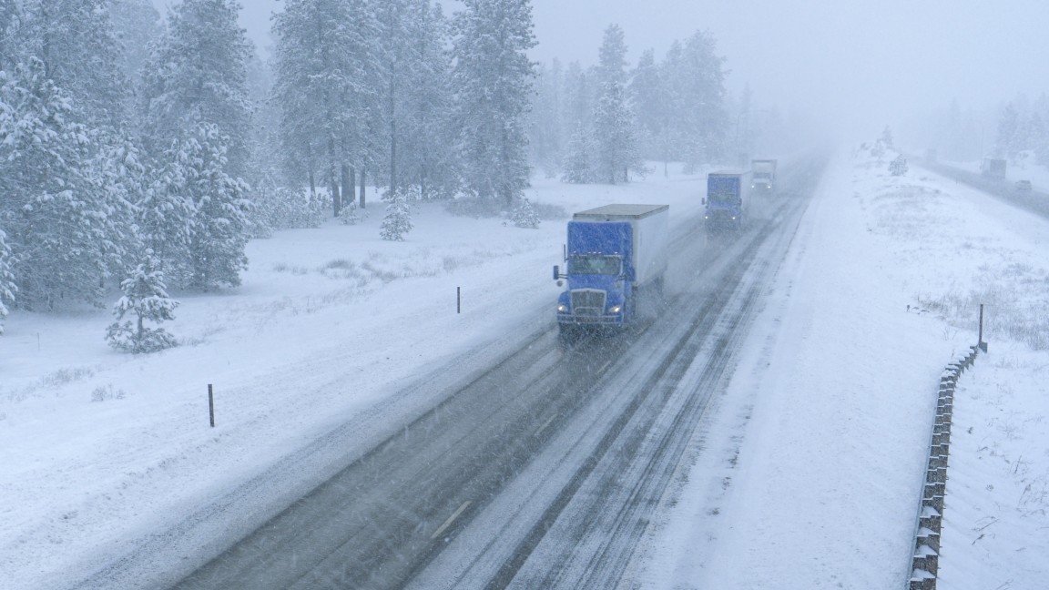
Colder air in place to the north and west of Interstate 95 will translate to the moisture falling as snow rather than rain. A large area of the interior Northeast was put under a winter storm watch on Tuesday, including western Maryland, northern Virginia, and central Pennsylvania.
There is also a slight chance that the system may move farther to the east and deliver snow to Boston and New York City. Be sure to pay attention to the changing forecast if you live in this zone.
The areas most likely to see snowfall measuring over 6 inches include upstate New York, northern Pennsylvania, and central and northern sections of New England. The storm is distinguished as being a slow mover, increasing the odds that the region picks up meaningful accumulation.

In addition to the snow, forecasters are warning that coastal flooding and ice may be a risk. Some stretches of interstates 68 and 70 are expected to see icy conditions on Wednesday night and Thursday. The most likely troublesome spots will be east of Pittsburgh through southern Pennsylvania. You also cannot rule out sleet and freezing rain in Baltimore and Washington, D.C. late Wednesday.
Ice accumulation of 0.25 of an inch or more is in the forecast for south-central Pennsylvania, the western edge of Maryland, the northeastern corner of West Virginia, and northwestern Virginia. Ice of this magnitude may bring down power lines and tree limbs.
Meteorologists are also predicting the chance of coastal flooding in an area stretching from Norfolk, Virginia up into Boston, including New York City. This flooding will likely occur during high tide.
A large swath of the Plains states, the Midwest, and the Mississippi Valley will experience the coldest air of the season after the storm pushes eastward. This means that existing slush and rain on roadways will likely freeze.
The higher terrains of the interior Northeast will struggle to climb out of the 20s for high temperatures with overnight lows dropping down into the teens and single digits by the beginning of next week. The major cities of New York City, Boston, and Washington, D.C. will be dealing with consecutive days with highs in the 30s, making for a cold start to the holiday week as shoppers finish up errands.
The bitterly cold air is also predicted to create lake-effect snow this weekend as it moves across lakes Huron, Erie, and Ontario. Snowfall accumulations of 1 – 3 feet are possible in the western and northern portions of New York state and into northwestern Pennsylvania.
Did you find this content useful? Feel free to bookmark or to post to your timeline for reference later.

January 21, 2024

January 19, 2024

January 18, 2024