
Heavy Rain, Flooding, and Chance of Severe Weather Staring Down the Southern U.S.
January 22, 2024
Posted: December 18, 2022 2:14 am


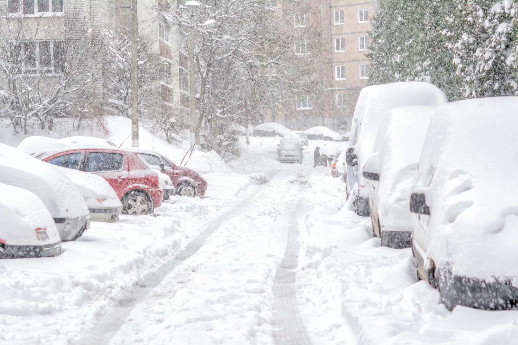
While most Americans are acquainted with the term “tornado alley,” the “blizzard alley” region is less familiar. Many people associate blizzards with high amounts of snow when the reality is that the biggest defining factor of this weather event is how the snow combines with wind to reduce visibility. Here is what you need to know about blizzards and the areas of the U.S. most prone to these dangerous events.
In meteorological terms, a blizzard is defined as a snow event that features sustained wind speeds of at least 35 mph that lasts for three or more hours, resulting in visibility of less than a quarter of a mile. According to the National Weather Service (NWS), blizzards are responsible for about 400 fatalities each year. This makes them five times more deadly than tornadoes, blamed on about 80 deaths on an annual basis.
Like tornadoes, blizzards are more likely to spin up in targeted areas of the country. There are three designated Blizzard Alleys within the U.S., each with their climate and characteristics that make them more susceptible to these extreme weather events.
The central northern Plains is the primary Blizzard Alley. The counties that have recorded the most blizzards since the year 200 are located in the northern Plains states of North Dakota, Minnesota, and South Dakota. The greatest concentration of blizzards over the last 22 years has happened in northeastern North Dakota near Grand Forks and beyond, including the northwestern corner of Minnesota and northeastern South Dakota.
This primary impact zone puts cities such as Watertown, South Dakota and Fargo, North Dakota in the bullseye for blizzards. Seeing blizzards on a frequent basis but not as likely as the primary zone is an area including Sioux City, Iowa and Cheyenne, Wyoming.
So what is it that makes this part of the northern Plains more likely to experience blizzards? It starts with its location that is near enough to the Gulf of Mexico to find moisture-rich air paired with being in the middle of a zone where storms come down off the Rockies and intensify.
The presence of cold air filtering down from Canada during the winter months then creates ideal conditions for blizzard formation. Lastly, the generally flat land of the Plains states means that there are no mountains blocking the moisture from flowing up from the Gulf of Mexico. This lack of mountains means that storms are able to intensify quickly, triggering the high winds that are a characteristic of blizzards.
An additional Blizzard Alley can be found near the northern Plains in Colorado. The greatest concentration of blizzards are found in the eastern part of the state near the borders with Nebraska and Kansas. While this area supplies the greatest amount of blizzards, the highest individual county totals are in Elbert and Lincoln counties, located at the base of the Rocky Mountains.
This happens because of a storm’s ability to feed on the mass amounts of energy in the upper levels of the atmosphere as it moves down the mountains. Because the energy often remains intact after moving through the higher terrains, it is more likely that it will quickly intensify once it reaches flatter ground with no obstructions.
Yet another secondary Blizzard Alley is located along the nation’s Atlantic Seaboard in an area stretching from New Jersey to Maine. Like the two areas in the middle of the nation, this Blizzard Alley is also distinguished by a lack of mountains once you get past the Catskills, Adirondacks, Berkshires, and Appalachians mountain ranges.
This area is also fueled by moisture from the Atlantic Ocean and cold air from Canada to create blizzard conditions. Most blizzards in this region are part of a storm system known as a nor’easter, a common type of winter storm known by anyone who has called the Northeast home.
Nor’easters are known by the strong winds that whip up as low pressure intensifies over the ocean. The strongest nor’easters are called bomb cyclones, characterized by a barometric pressure that falls by 0.71 of an inch of mercury in a 24-hour period.
While not a designated Blizzard Alley, the remote state of Alaska also sees its fair share of blizzard warnings, ranking in the top seven of U.S. states. The Beaufort Sea Coast is particularly vulnerable to blizzards due to a number of factors, including the area of low pressure over the Bering Sea that forms as a result of the cold air from Russia. This part of Alaska recorded over 200 blizzard warnings over the last 22 years.
The Prince William Sound region also sees a high amount of blizzard activity, boasting 189 warnings since 2000. Other notable regions of the state known for a proliferation of blizzards includes the Pribilof Islands, St. Lawrence Island, Kuskokwim Delta, and the Arctic Coast.
Nearly all U.S. States have been under a blizzard warning since 2005. The exceptions are the states located in the southeastern corner of the country, including Mississippi, Alabama, Georgia, Florida, and South Carolina. Even the state of Texas has recorded blizzards from time to time, including a rare snow event that whipped up near Dallas on Christmas Eve of 2009.
You may also be surprised to learn that Hawaii has seen seven blizzard warnings since 2000. All of these warnings have happened on the Big Island Summit where temperatures are much lower.
Did you find this content useful? Feel free to bookmark or to post to your timeline for reference later.

January 21, 2024

January 19, 2024

January 18, 2024
