
Heavy Rain, Flooding, and Chance of Severe Weather Staring Down the Southern U.S.
January 22, 2024
Posted: December 19, 2022 11:17 am


After a bit of a breather in the weather after last week’s massive cross-country storm system, much of the U.S. will be back in the crosshairs of significant precipitation just in time for the start of the last work week before the holidays. While the Gulf Coast will be dealing with rainy conditions, it will be snow and ice causing the issues in parts of the central U.S. Here is what you can expect in the coming days.
The unseasonably cold air across the central U.S. will support a good chance of snow to start the week. A system that was dumping rain in the Desert Southwest over the weekend will move to the northeast with the jet stream as it brings up moisture-rich air from the Gulf of Mexico. Snow will be the result once the moisture collides with the cold air in place over the Midwest.
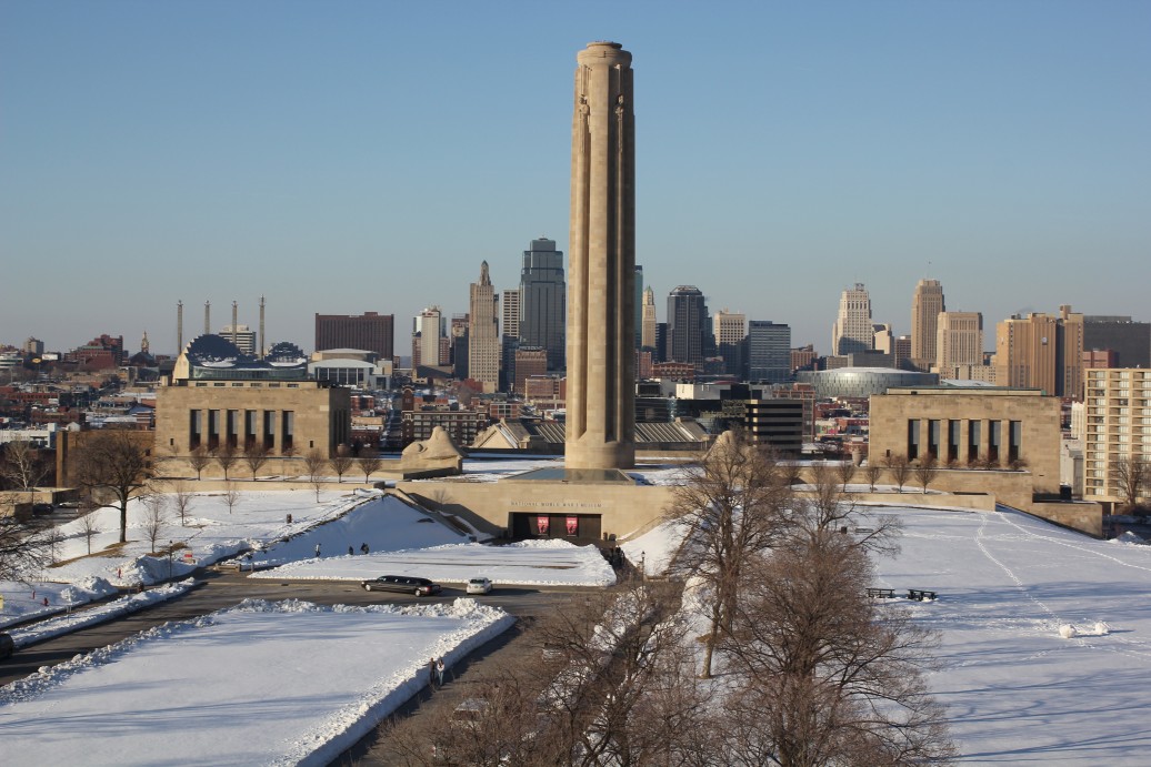
This cold air made its move into parts of Missouri and Kansas at the end of the weekend, providing the backdrop for the moisture to fall as snow. Kansas City will be in the bullseye of the snow on Monday with areas to the south seeing the first accumulation before it continues northward.
The greatest chance of snow for the Kansas City metro area will be later in the day Monday. This wintry precipitation should reach Des Moines by the evening hours.
Forecasters are predicting general accumulation ranging from 1 to 3 inches. The evening commute could be dicey for many in this region.
Complicating the weather situation for the week will be even colder air pushing down into the nation’s heartland on Tuesday and Wednesday. This means that any wintry precipitation that falls on Monday will not be given a lot of time to melt. For instance, Kansas City is forecast to hover in the 20s for a high in the middle of the week with even more frigid air on tap in the days leading up to Christmas.
The region will also be in the impact zone for more snow accumulation later in the week. Will it be a White Christmas for this part of the country? So far, the odds are looking good.
This same storm system is also predicted to bring rain and a chance of severe storms throughout the Gulf Coast on Monday and Tuesday. This slow-moving weather maker will move from west to east along the Gulf Coast, impacting an area stretching from eastern Texas into Florida.
The rain started to make its presence known late Sunday in South Texas before moving into the eastern portion of the Lone Star State by the Monday morning commute. Houston will also be under the gun of a messy afternoon commute. The torrential downpours will continue to move to the east into Monday night.
It will be Florida’s turn to see the torrential rain by Tuesday. It could be a soaker of a day Tuesday for cities such as Tampa and Orlando. In addition to the downpours, this part of the Sunshine State needs to be on the lookout for gusty thunderstorms.
Although the rain may be a nuisance to shoppers heading out for those last-minute holiday errands, this part of the South could certainly use the precipitation. Much of the Gulf Coast is experiencing severe drought conditions, according to the latest report from the U.S. Drought Monitor.
Travel may be disrupted across portions of interstates 4, 10, 55, 65, 75, and 95. The heavy rain will likely cause some instances of reduced visibility as well as ponding on roadways. There may also be areas of flooding with the greatest risk happening in the parts of the Gulf Coast that saw heavy rain last week.
While the bulk of the rain is forecast to remain positioned along the coastal areas, there is still the chance of some of this moisture making it farther north. This means that cities such as Atlanta and Birmingham may see wet conditions over the next few days.
Another storm system is predicted to move through the Gulf Coast and into the Southeast starting the middle of the week and lasting until Christmas. This massive storm system is also going to be accompanied by a significant drop in the temperatures across the region, ushering in some of the coldest readings of the season so far.
Did you find this content useful? Feel free to bookmark or to post to your timeline for reference later.

January 21, 2024

January 19, 2024

January 18, 2024
