
Heavy Rain, Flooding, and Chance of Severe Weather Staring Down the Southern U.S.
January 22, 2024
Posted: December 19, 2022 3:30 pm


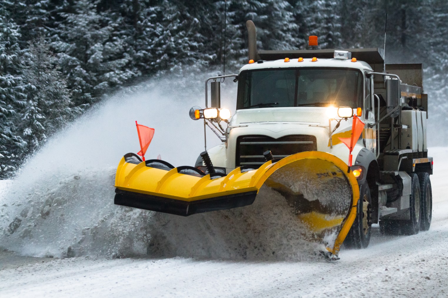
An unsettled weather pattern containing the threat of widespread snow will characterize the week before Christmas for much of the Northwest and the Rockies. Here is what you need to know if you live in this area of the country.
It has already been a December of heavy rain and snow throughout this part of the country with more to come in the coming days. Another bout of stormy weather is set to develop during this last week before the holidays as shoppers scramble to run those last-minute errands. The snow and ice will almost certainly trigger travel disruptions during this busy time for many Americans.
The inclement weather is being fueled by a storm that is positioned off the West Coast in the Pacific Ocean that is moving to the east along with a powerful jet stream. The storm system is forecast to move onshore by Tuesday and Wednesday, making its presence known with rain, ice, and snow.
While the snow machine fired up in Seattle and up into the Cascades on Sunday afternoon, more of this winter precipitation is on the way starting on Tuesday afternoon. Washington state is forecast to see the heaviest of the snow late Tuesday and into early Wednesday. The snow is predicted to move through the region fairly quickly with instances of snow falling at a rate at over an inch per hour during the height of the storm.
As is typical for this part of the country, the Olympics and Cascades will see the greatest amounts of snow. Accumulation will measure over a foot at the highest elevations. The Washington ski areas of Snoqualmie and Stevens will likely be on the receiving end of about 6 inches of new accumulation.
Warmer temperatures along the Interstate 5 corridor that runs through Seattle will keep the snow falling as a wet and slushy mix. Areas such as Olympia and Bellingham should be prepared for up to 3 inches of accumulation.
The storm system will continue its jaunt to the east, bringing the snow to heavily populated areas such as Salt Lake City and Denver by late Wednesday and into Thursday. The snow will arrive just as the mercury is forecast to take a dramatic downward dive. This means the snow will likely be dry as it falls, translating to a faster accumulation that is not going to melt.
The highest terrains of the Wasatch and Wyoming mountain ranges can count on about 6 inches of snow at the minimum. Snowfall accumulations of over a foot will also be possible in the Colorado Rockies.
The southeastern suburbs of the Denver metropolitan area will likely escape with just a few inches of new snow. However, as is usually the case, the western suburbs closest to the foothills of the Rockies will see higher amounts of snow with over 6 inches a possibility.
In addition to the snow and frigid temperatures, this part of the interior West is also in the crosshairs for gusty winds that will last throughout the entirety of the storm. Winds gusting over 40 mph are on tap for the Colorado Rockies, meaning that the area may be under the threat of experiencing blizzard conditions.
After wreaking havoc on the Rocky Mountain region, the system will push out into the Plains and the Midwest. This is predicted to happen early Thursday.

While most people will be understandably focused on the snow with this weather maker in its initial stages, the influx of Arctic air will be the story in the days that follow. For instance, the mercury is forecast to plunge from a high in the mid 40s on Wednesday in Denver to lows that may reach as low as 20 degrees below zero in a period of a day or two.
It will be even colder even farther to the north with areas of interior Montana dropping to 30 degrees below zero on Wednesday night. The strong winds could make the real feel readings even more miserable. This is definitely the time to stay indoors and protect yourself from the life-threatening cold.
While a White Christmas is looking promising for those who want it, it is also going to be bitterly cold throughout the Rockies and the northern Plains.
Did you find this content useful? Feel free to bookmark or to post to your timeline for reference later.

January 21, 2024

January 19, 2024

January 18, 2024
