
Heavy Rain, Flooding, and Chance of Severe Weather Staring Down the Southern U.S.
January 22, 2024
Posted: December 22, 2022 4:45 pm


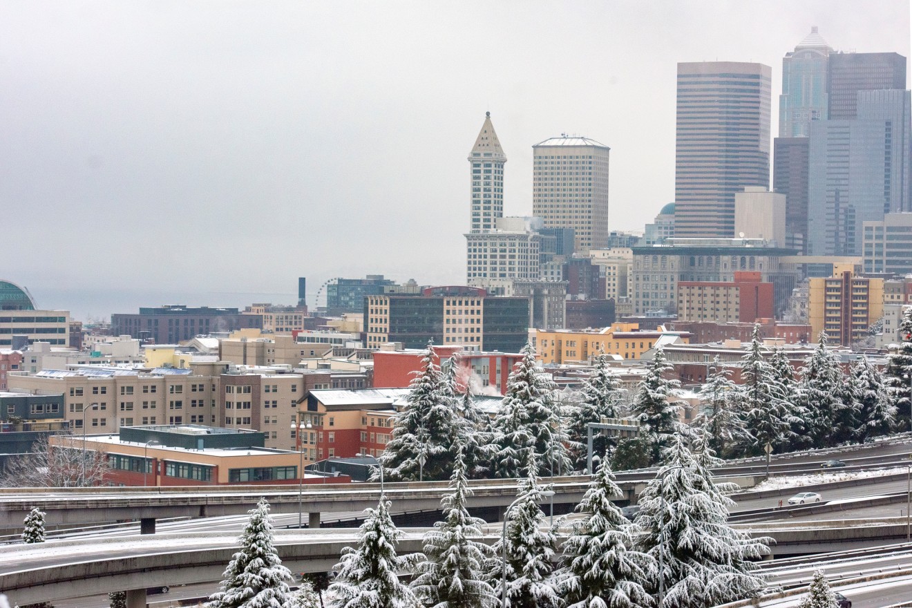
The eastern half of the nation is not the only part of the U.S. dealing with adverse winter weather conditions. The Pacific Northwest is also staring down its second winter storm of the week threatening to snarl travel just in time for the Christmas weekend.
A mix of wintry precipitation started to expand over the Pacific Northwest Thursday evening. A block of frigid air already in place over this corner of the nation will cause some of this moisture to fall as ice. The ice will spread from west to east into Friday. For instance, both Seattle and Portland will see snow to start late Thursday before it transitions to freezing rain.
Forecasters are warning that the wintry mix may cause ice to blanket a large portion of the Northwest west of the Cascades through Friday. In addition to Seattle and Portland, the ice may also significantly impact cities such as Tacoma, Olympia, and Vancouver, Washington.
Travel is likely to be affected along portions of interstates 5, 90, and 84. The timing could not be worse as families hope to hit the road for Christmas. The inclement conditions may also impact those last-minute gift deliveries.
Ice will not be the only weather element impacting the region. Winds are also forecast to increase in the coming hours. The strong winds will pair with the ice to increase the odds of widespread power outages.
Temperatures are expected to hover in the upper 20s on Friday in the Portland area before warmer air moves in on Saturday. The mercury will hit the mid 40s in Portland on Christmas Eve before heading into the upper 40s on Christmas Day. It will be slightly warmer to the north in Seattle with the temperatures landing in the upper 30s on Friday before climbing into the upper 40s on Saturday and possibly breaking the 50-degree barrier on Sunday.
Meteorologists warn that the ice will not instantly melt when the mercury climbs above the freezing mark. The cold air will also be slower to dissipate moving farther inland. For instance, cold air is likely to be trapped in the valleys, keeping the moisture falling as freezing rain through Friday night in areas such as the Columbia River Gorge.
Once the temperature warms up on Christmas Eve, the precipitation will transition to rain. This could trigger localized flooding if drains are iced over. It could be early next week until weather returns to normal for the region.
You cannot blame those in the Northwest for being weary of the winter weather. The area already dealt with a rare snow event on Monday and Tuesday that resulted in travel disruptions. In addition to flight cancelations and delays, numerous mountain passes were closed because of the dangerous conditions.
It has also been bitterly cold in cities such as Seattle. A high of 30 degrees in the Emerald City on Wednesday was 15 degrees below average for this time of the year.
Did you find this content useful? Feel free to bookmark or to post to your timeline for reference later.

January 21, 2024

January 19, 2024

January 18, 2024
