Heavy Rain, Flooding, and Chance of Severe Weather Staring Down the Southern U.S.
January 22, 2024
Posted: February 27, 2023 11:48 am


The West Coast is not done with the stormy weather pattern. The new week will bring a continuation of the active weather that has hammered the region over the last week. While the conditions will not compare to the storm that hit California to end the week, it will be wet and windy nonetheless. Here is the latest on the forecast for the western portion of the U.S. in the coming days.
A southward dip in the jet stream is set to usher in a parade of storms into the Pacific Northwest and downward to California this week. The pattern will add to the high amount of moisture that has already been unleashed across this region at the end of February.
Sunday brought a day of coastal rain to the Pacific Northwest along with some pockets of snow even at low-lying elevations. For example, many areas of the Seattle metro area woke up to light snowfall on Sunday morning. The Cascade Mountains, the Sierra Nevada, and the northern Rockies also saw snow out of this swiftly moving frontal boundary.
Another storm system began to take aim at the region by Sunday evening, bringing moisture and energy to the southern portion of Washington and through Oregon and Northern California. A cold front that paired with the stormy conditions moved to the south Sunday night and into Monday, bringing more snow and rain to the Pacific Northwest and southward.
The good news is that this pattern of stormy conditions will not bring the severe impacts that the last weather maker brought to California. There is far less moisture associated with the upcoming storm systems.

The bulk of the precipitation will start to migrate from Washington and Oregon into California and the Southwest by late Tuesday. This movement will bring persistent rain showers to the San Francisco Bay Area and as far south as the Los Angeles basin. Central California will also be the beneficiary of this moisture.
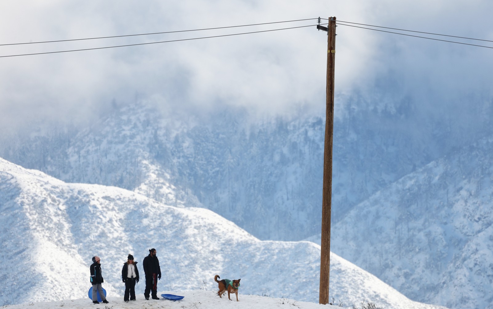
Snow will be the story for the higher elevations. Travel could be impacted along Echo Pass, Donner Pass, and Lassen Park thanks to snowfall measuring 3 – 4 feet. Snow levels are forecast to drop by Monday, bringing the white stuff to elevations as low as 1,000 feet.
Snow amounts totaling 4 – 6 feet are expected from Sunday through Wednesday in areas such as Carson and Tioga in the California Sierra. Be sure to check road conditions before heading up into these areas. As is typical, the westward-facing slopes of the Sierra will see the highest amounts of snow. You can expect snowfall rates of 2 – 3 inches per hour on Monday and Tuesday during the worst of the winter storm.
The storm system will continue its journey to the south by Wednesday, bringing its impacts to Southern California and as far as the interior Southwest. Motorists may once again be grappling with a shutdown of the Grapevine along Interstate 5 by the middle of the week.
This is the same stretch of Interstate 5 that was shut down on Saturday along Tejon Pass because of icy conditions and heavy snow. Crews had to work overnight to ready the highway for the start of the week.
While these storms are causing some disruptions to everyday life for millions, the moisture is good news for a part of the country hoping to make a dent in the ongoing drought. This is the time of the year when it becomes increasingly important to plump up the snowpack heading into the spring and summer months.
According to the latest data, the Sierra Nevada now sits at over 140% of its seasonal average of snow. This will undoubtedly put California in a better position than it has been in years as the dry season approaches.
Did you find this content useful? Feel free to bookmark or to post to your timeline for reference later.

January 21, 2024

January 19, 2024

January 18, 2024