Heavy Rain, Flooding, and Chance of Severe Weather Staring Down the Southern U.S.
January 22, 2024
Posted: March 5, 2023 6:36 am


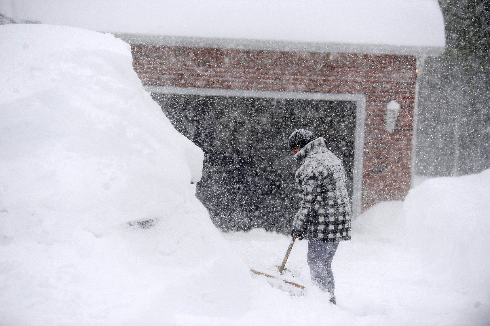
Another snow storm is reminding residents of the northern Plains that winter is far from over. Forecasters are keeping an eye on a new weather maker that is set to bring significant snowfall to an area stretching 1,800 miles long, starting in the northern Plains and expanding into the interior Northeast by the beginning of the week. Here is what you need to know about this latest weather threat.
March has got off to a raucous start with a series of powerful storm systems unleashing deadly severe thunderstorms, tornadoes, and accumulating snowfall. While the latest snow event is not forecast to bring as much power as the system that impacted the northern half of the U.S. last week, it will still bring enough wintry precipitation to disrupt travel across the region.
The first snow will begin to fall Sunday in the western portions of the Dakotas. By the end of the day, this snow will move to the east and into Minnesota and Wisconsin. Minneapolis is expecting a few inches of new accumulation out of this system by the time it exits the Twin Cities late Monday. The area has seen unseasonably high amounts of snow in February with the airport recording 15.5 inches of snow. The historical February average for the Minneapolis–Saint Paul International Airport is 9.5 inches.
The area near the border of North Dakota and South Dakota is expected to see the most snow on Sunday. A general 6 – 12 inches is in the forecast for this part of the northern Plains.
It could be a potentially treacherous morning commute on Monday for cities such as Minneapolis and Green Bay. Be sure to allow extra time to get to work or school.
The snow will then move into the interior portions of the Northeast later Monday. New York City may even see some light snow out of this system. While the storm will get its start as rain in the Big Apple on Monday evening, dropping temperatures in the overnight hours may force the transition to light snow.
Areas to the west and south of the measurable snow may see freezing rain or sleet develop on Monday night. This type of precipitation could spell trouble for those out on the roads late Monday and into Tuesday.
A mass of unseasonably cold air will follow this storm system, bringing more chances of wintry precipitation for the north-central U.S. and into the Northeast later in the week. You will want to stay on top of the developing forecast as the picture becomes more clear.
While the northern Plains and Northeast is bracing for a continuation of winter weather, it already feels like the middle of spring in the South. The southern U.S. is spending the weekend cleaning up after a multi-day severe weather event that is being blamed for at least 13 fatalities.
The south-central U.S. was ground zero for Friday’s severe weather. Fatalities have been reported in Mississippi, Tennessee, Alabama, Arkansas, and Kentucky. The deaths happened as a result of falling trees and flooded roadways. Strong winds uprooted trees and power lines across the region, complicating the recovery efforts.
Over 470,000 customers were left without power in Kentucky by Friday evening. Neighboring Tennessee was dealing with over 332,000 power outages at the same time. Power has been slow to return to the region with over 400,000 customers still in the dark by Saturday in Kentucky alone. Other states dealing with widespread power outages include West Virginia, Pennsylvania, and Ohio.
Did you find this content useful? Feel free to bookmark or to post to your timeline for reference later.

January 21, 2024

January 19, 2024

January 18, 2024