Heavy Rain, Flooding, and Chance of Severe Weather Staring Down the Southern U.S.
January 22, 2024
Posted: May 30, 2023 2:30 pm


It was a rough Memorial Day weekend for many parts of the country with severe weather and persistent rain washing out parades, barbecues, memorial services, and other outdoor activities typically associated with this holiday.
What parts of the U.S. will be under the gun for stormy conditions as the calendar flips from May to June? Here are the details that you need to know.
While it was the Southeast and the mid-Atlantic that saw the worst of the weather over the long weekend, the actual Memorial Day holiday brought a number of storms to the High Plains.
These storms packed heavy rain and strong winds as they disrupted travel on roads throughout the Dakotas, Nebraska, northwestern Kansas, and eastern Colorado.
This same area will be the most likely part of the country for severe storms to fire up on Tuesday. The storms are the result of pockets of energy coming down from the Rockies and fueling the development of severe weather.
Like Monday, Tuesday’s storms will target the High Plains, producing hazards such as hail and isolated tornadoes for those in the path. Be sure to check the hourly forecast if your day calls for travel along portions of interstates 29, 70, 80, 90, and 94.
Looking ahead to Wednesday, the risk of storms will spread to a larger region. Areas that need to be on the lookout for potential storm development by the middle of the week include the panhandle of Oklahoma, western Texas, eastern Colorado, western Kansas, and the southwestern corner of Nebraska.
The storms may also stretch as far west as the Colorado Rockies, giving the cities of Denver and Colorado Springs a chance of seeing some of this action.
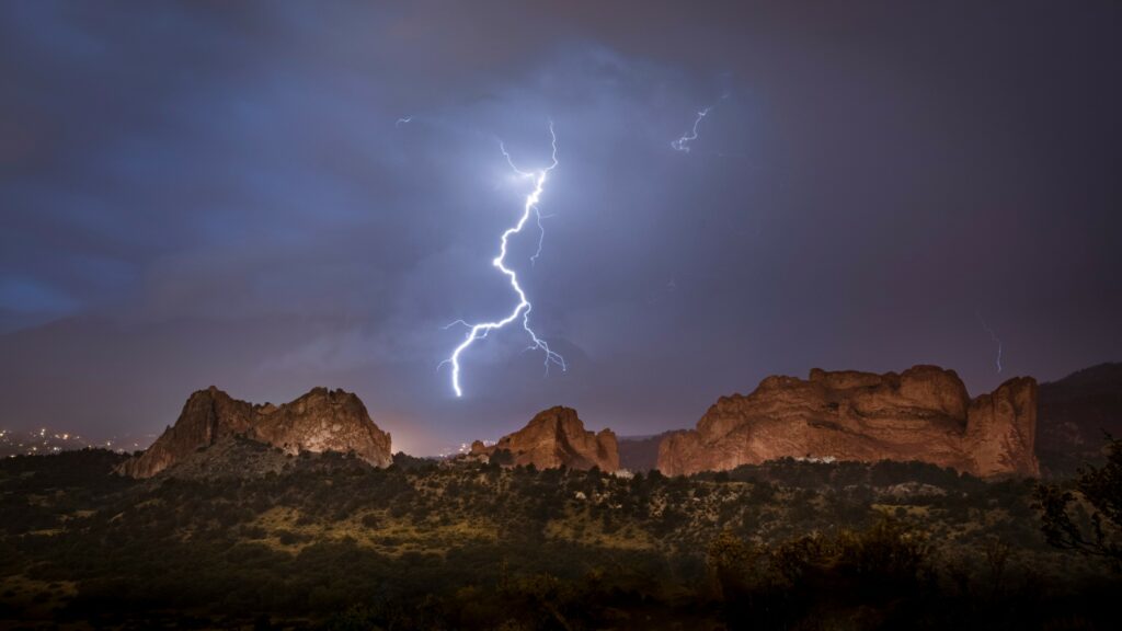
This line of storms will draw on the mass amounts of energy in the atmosphere to deliver the chance of large hail, drenching rain, and dangerous wind gusts. You will want to keep an eye on the skies and enable all smartphone alerts if you live in this potential impact zone.
The threat of storms in the nation’s mid-section will not end Wednesday. Forecasters warn that more storms may ignite in the latter part of the week across the same general area thanks to the amount of energy present.

The rain may be disruptive to outdoor plans this week, however, it will be beneficial for a part of the nation that has been dealing with ongoing drought concerns. It has been exceptionally dry in the High Plains.
For instance, 99.4% of the state of Nebraska is under the designation of at least “abnormally dry” according to the latest report from the U.S. Drought Monitor.
Likewise, 90% of Kansas is under some level of dry designation according to the parameters of this report. The Sunflower State also has 35% of its lands under the category of an exceptional drought, the most worrisome designation used by the monitoring service.
In addition to the much-needed rainfall, the expected weather pattern will also keep temperatures at moderate levels.
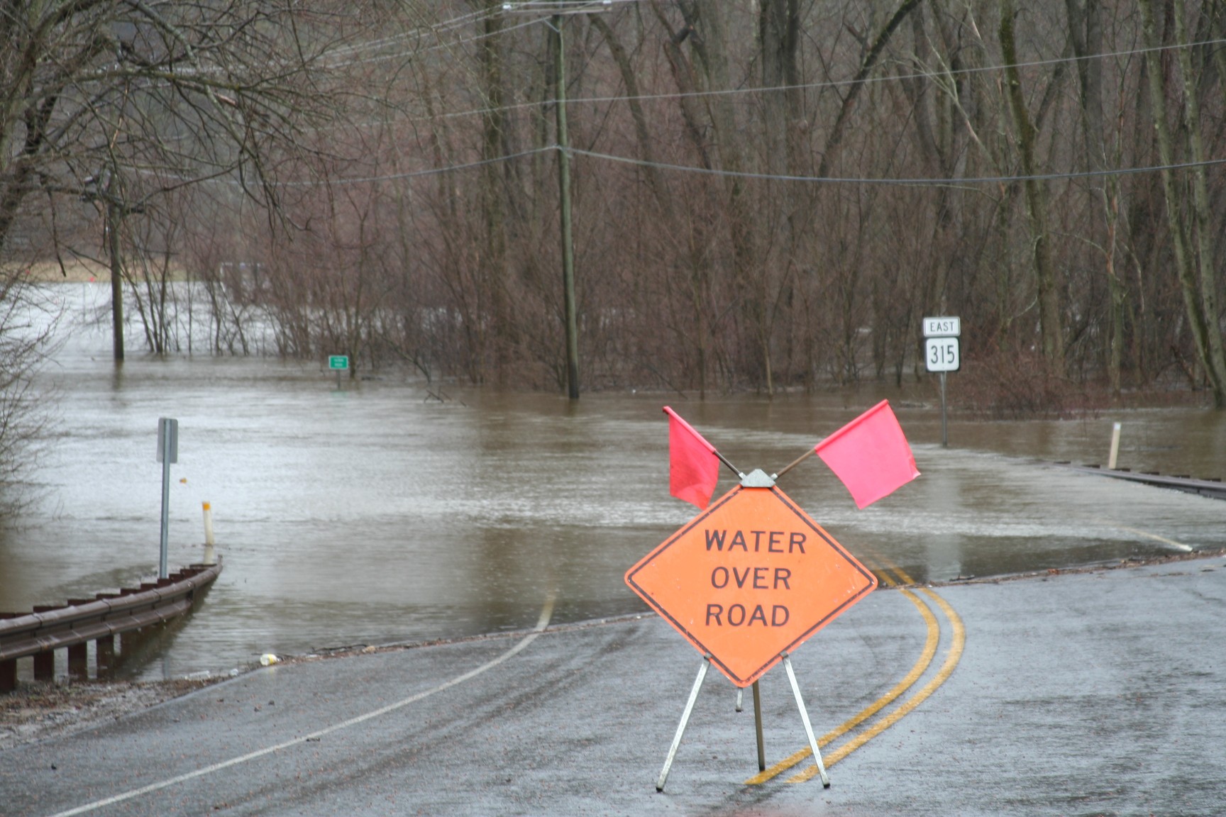
The downside to all of this rain is that forecasters are now warning about the high odds of a flooding threat later in the week across much of the country’s heartland.
The risk of significant flooding will likely be in place in an area stretching from northwestern Texas and up into Montana, including the Oklahoma Panhandle, eastern Colorado, the majority of Montana, northeastern Wyoming, and western portions of Kansas, Nebraska, and the Dakotas.
Persistent rain on Thursday and Friday will make it difficult for the dry soil to take in all of this moisture, triggering the flooding as it repels the water. This risk will be the highest in eastern Montana and down into Wyoming.
Did you find this content useful? Feel free to bookmark or to post to your timeline for reference later.

January 21, 2024

January 19, 2024

January 18, 2024