Heavy Rain, Flooding, and Chance of Severe Weather Staring Down the Southern U.S.
January 22, 2024
Posted: November 19, 2023 7:36 am


The days leading up to Thanksgiving Day could be a messy weather situation for many people in the central and eastern U.S. A stormy weather pattern could create potential headaches for those looking to get a head start on their holiday travel. Here is what you need to know if you are planning to take to the roads or skies in the days ahead.
Southern Plains Forecast to See First of the Moisture Associated with This Storm
It is estimated that almost 55 million Americans will travel over the week surrounding Thanksgiving. These crowds alone are enough to cause havoc but will the weather make it even worse for travelers? Forecasters are warning that a large storm system will complicate travel for about the eastern half of the nation beginning on Sunday and leading right up to Thursday.
The southern Plains will see the first of the rain on Sunday before the threat of severe weather shifts to the east on Monday and into Tuesday. Some of these communities will be under the gun for the first severe thunderstorms since early in the fall.
While the weekend will start on a calm note in the southern Plains, cities such as Dallas, Fort Worth, and Oklahoma City will see storms develop late Sunday. By Monday, the risk of storms will hit the Gulf Coast along the interstate 10 and 20 corridors. Atlanta will get in on this action by Tuesday.
This line of storms is not expected to deliver a widespread outbreak, however, the individual storm cells could generate locally damaging hail and strong winds. Motorists will want to pay attention to the hourly forecast before heading out.
The moisture will be good news for drought-stricken portions of the Tennessee Valley, Louisiana, and the southern Appalachians. But the flooding threat will also be a constant presence over these days.
Northeast Will Also See Wet Weather Pattern
After a wet start to the fall season, it has been relatively dry for much of the Northeast in November. For instance, Philadelphia and New York City have each only recorded 0.07 of an inch of rain so far this month. This pattern will change by the beginning of the week as rain and wind make their way into the busy Interstate 95 corridor over what is typically some of the most congested traffic days of the year.
Residents should prepare for a good chance of flooding in low-lying areas as well as ponding on roadways. The heaviest of the precipitation will hit New York City Tuesday afternoon while the rain will hold off until later Tuesday and into Wednesday for the majority of New England.
The interior portions of the Northeast and New England may see enough cold air to support the formation of ice and snow on Wednesday. The areas most likely to experience slippery travel includes the northeastern corner of Pennsylvania stretching up into the northern tier of New England.
Gusty winds will also be a concern for a large portion of the Ohio Valley, the Great Lakes region, and the Northeast. These winds will likely translate to more turbulence in the skies and potentially dangerous crosswinds for drivers. You can expect wind gusts to hit as high as 50 mph.

Lake-Effect Snow Also a Possibility
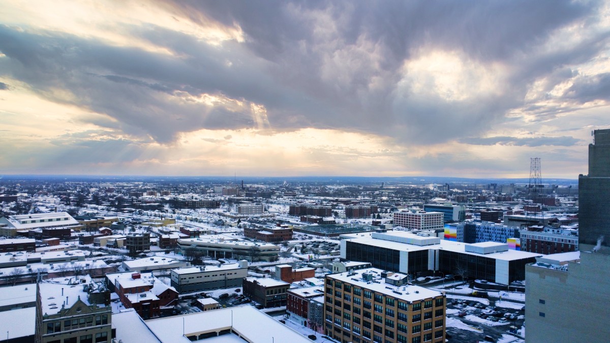
It will not be unexpected to see some lake-effect snow showers with this weather pattern. The arrival of cold air behind the storm system will lay the groundwork for lake-effect snow to develop beginning late Tuesday and lasting into Friday. The usual suspects will be in the bullseye for this snow, including Buffalo, New York.
Be sure to continue to monitor the forecast if your travels call for time around the Great Lakes. In addition to the typical lake-effect snow showers, squalls may also present issues for motorists. Gusty winds associated with the lake-effect snow could trigger the chance of localized blizzard conditions.
The silver lining is that the worst of the weather will likely move out by Thanksgiving Day. For instance, revelers at the Macy’s Thanksgiving Day Parade can expect sunny skies and highs that hit the upper 40s in New York City on Thursday.

The forecast may not be as promising for the tail end of the long holiday weekend. Forecasters are keeping a close watch on a developing storm that could impact travel in an area from the Rockies and into the Northeast as travelers begin to head home. Stay tuned as that forecast becomes more clear.
Did you find this content useful? Feel free to bookmark or to post to your timeline for reference later.

January 21, 2024

January 19, 2024

January 18, 2024