Heavy Rain, Flooding, and Chance of Severe Weather Staring Down the Southern U.S.
January 22, 2024
Posted: January 8, 2024 9:27 am


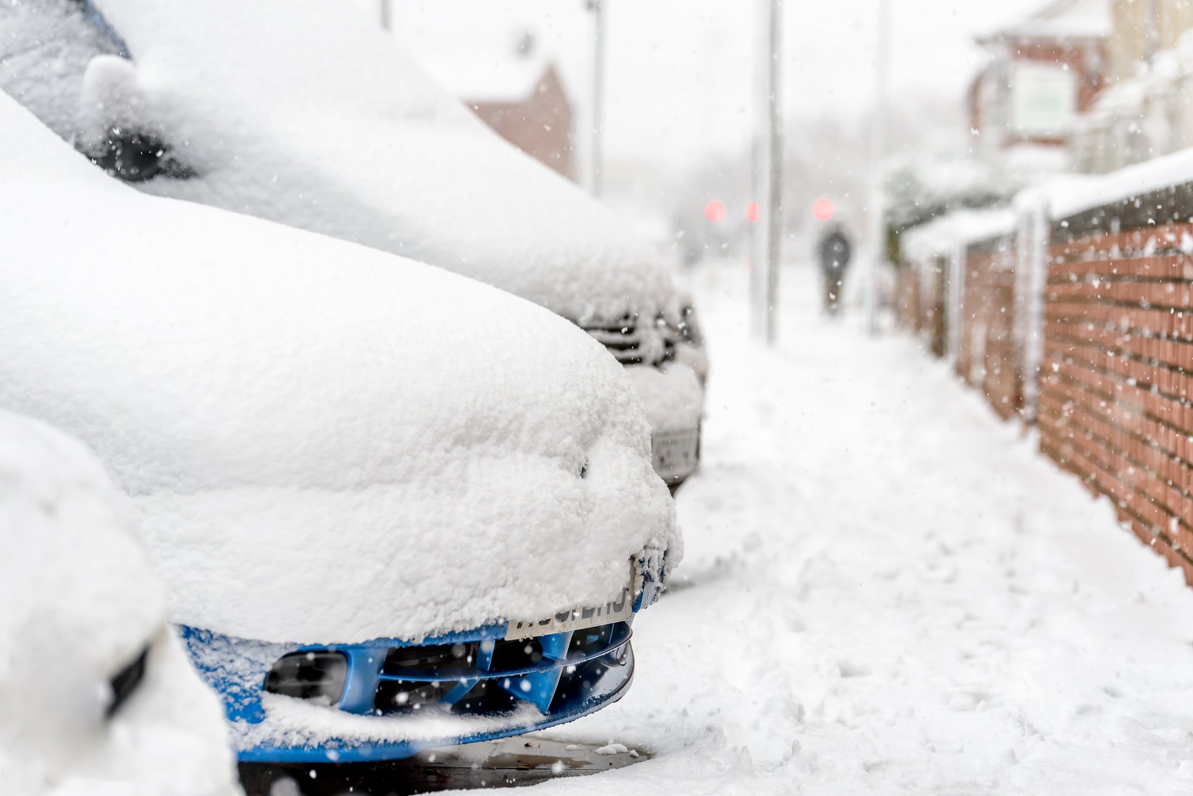
Over 30 states are in the line of fire for the next winter storm, setting up to unleash rain, snow, and wind across the central and eastern U.S. to start the first full work week of the year. Here is what you need to know about this impending weather maker, including who will see the impacts and when to expect the storm to arrive.
Winter Weather Back in the Cards for Central U.S.
The far-reaching storm got its start in the Pacific Ocean and is currently churning across the northwestern U.S. The system will feed on an Arctic air mass to bring winter impacts to the central portion of the nation on Monday and Tuesday. Residents in the path of the storm can expect significant travel disruptions, stretching from the Desert Southwest and up through the Great Lakes. Over 30 states will see the impacts of the weather generated from this storm during its height of activity.
Travelers taking to the roads or the skies will want to keep tabs on the conditions beginning late Sunday and lasting through Tuesday. It is likely that there will be several flight delays and cancellations from the southern Plains, up through the Midwest, and down into the South. These impacts will eventually reach the Northeast, potentially affecting some of the country’s most busy airport hubs.
Motorists will likely experience dicey road conditions on some portions of interstates 25, 40, 70, 80, 35, 29, 55, and 94. Possible impacts to these roadways include slushy conditions, snow, and blowing and drifting snow.
Timing of Storm’s Impacts
The action got started in the interior West on Sunday. Widespread snow amounts of 3 to 12 inches are on tap in a zone expanding from the top terrains of the Southwest and up through the upper Great Lakes. The heaviest snow will drop from central Kansas and up into the northern reaches of Michigan, putting metropolitan areas such as Kansas City, Omaha, Des Moines, Chicago, and Grand Rapids at risk.
Snow will not be the only impact imparted by this particular storm. Winds will also pick up speed, averaging between 20 to 40 mph with gusts in the range of 40 to 60 mph. These winds will combine with the snow to create localized blizzard conditions for some areas of the southern Plains and the Great Lakes.
To the east and south of the storm’s center, fluctuating air temperatures will produce wet snow that transitions to heavy rain before evolving into snow again. Central Missouri up through the middle of Illinois and northern Indiana will be under this back and forth. The fluctuating rain and snow will also expand into northwestern Ohio and the southeastern corner of Michigan, meaning that cities such as St. Louis and Detroit will see a mix of moisture over this time period.
Flooding Downpours and Severe Storms Possible to the South of Storm’s Track
Warmer temperatures hovering to the south and the east of the storm’s track will equate to heavy rain and the chance of thunderstorms for the the middle and lower portions of the Mississippi and Ohio valleys. Localized flash flooding could be an issue in this zone.
The Northeast will also see warmer temperatures that work to melt the snow that dropped over the weekend. When combined with the forecast heavy rain, the melting snow will create concerns of rapid runoff that could trigger flash flooding as water levels in streams and rivers inch upward.
Severe thunderstorms will push across the south-central U.S. and into the Southeast, helping to erase some of the ongoing drought in this region. Motorists using interstates 10 and 20 will want to be aware of the potential of flash flooding and ponding on roadways on Monday and Tuesday.
This active weather pattern is forecast to continue through the week as additional storms come in from the Pacific. The upcoming weekend could also bring an intrusion of Arctic air to the northern tier of the country, helping to fuel a widespread snowstorm for the Plains and the Midwest. Forecasters will be monitoring this potential development over the coming days to determine who will be smacked with this winter weather and when it will arrive. Be sure to stay tuned.
Did you find this content useful? Feel free to bookmark or to post to your timeline for reference later.

January 21, 2024

January 19, 2024

January 18, 2024