Heavy Rain, Flooding, and Chance of Severe Weather Staring Down the Southern U.S.
January 22, 2024
Posted: January 9, 2024 1:22 pm


A period of severe weather is going to usher in a number of potentially dangerous impacts to the Gulf Coast to start the first full work week of the new year. Here is what you need to know about this impending threat.
Clash of Competing Air Masses Will Trigger Thunderstorms Across Gulf Coast
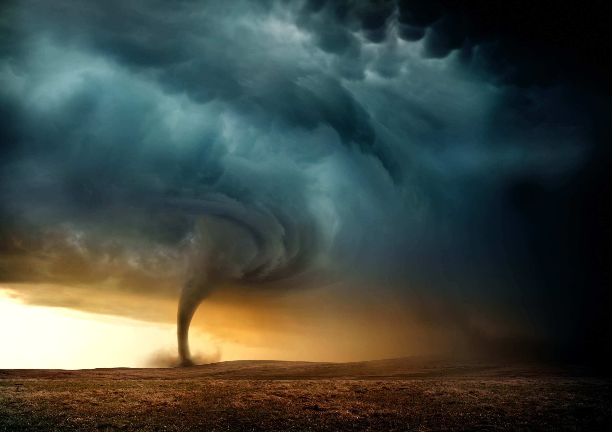
A widespread storm system is coming together in the middle of the country, sending snow across the Plains and into the Great Lakes. While the northern fringe of the weather maker will be dealing with wintry impacts, those areas to the south are going to face the threat of severe thunderstorms and nocturnal tornadoes.
The severe weather will ignite when the cold air in the northern tier of the storm competes with warm and moist air coming up from the Gulf of Mexico. This clash will provide the necessary fuel for thunderstorms and tornadoes along the Gulf Coast in an area stretching from eastern Texas and into southern Louisiana.
The focus of Monday’s storms will be in a region from the south-central portion of the nation and into the Mississippi Valley. This area should prepare for heavy rain and strong winds with the storm cells. Major metropolitan areas such as Dallas and Austin will be in the line of fire for the storms throughout the day Monday.
It could be a rough day of tailgating for college football fans descending on Houston for the national championship clash between the University of Michigan Wolverines and the University of Washington Huskies. The city will be under a continual threat of rain and thunderstorms with winds coming in from the south at 20 to 30 mph. Temperatures will remain moderate, topping out in the mid 70s for a high.
Nocturnal Tornadoes Possible Late Monday and Into Tuesday
The storms will exit the region by late Monday and push into Louisiana, Mississippi, Alabama, and the Florida Panhandle by Tuesday morning. This time frame will be when tornadoes are most likely. The threat of nocturnal tornadoes late Monday will keep residents on their toes.
It is important to remember that tornadoes that spin up under the cover of darkness are particularly dangerous because those in their path may not be aware of the watches and warnings. It is also more difficult for weather spotters to find tornadoes when it is dark outside. Research has shown that nocturnal tornadoes are about 2.5 times more fatal than those twisters that happen during the day because of these complicating factors.
Local officials are warning residents along the Gulf Coast to enable all smartphone alerts before going to bed on Monday. Cities that are at risk of these potential tornadoes include Houston, New Orleans, and Mobile. In addition to the risk of twisters and heavy rain, local wind gusts may hit as high as 65 mph at times.
Tuesday’s threats will shift farther east and north as the day progresses, eventually reaching eastern North Carolina and the southeastern corner of Virginia. The primary impacts associated with Tuesday’s weather threat include damaging winds, flash flooding, and isolated tornadic activity.
The repeated rain for the Gulf Coast is a continuation of the wet weather pattern from last week. Widespread rainfall amounts of 1 to 2 inches hit the Texas coast through the Southeast on Friday and Saturday, making the ground in this region more susceptible to flooding in the upcoming days.
Forecasters are predicting that another 1 to 2 inches of rain will fall across the Gulf Coast on Monday and Tuesday with some isolated pockets of 2 to 4 inches possible in the hardest-hit areas. The weather system will continue to move to the east throughout the middle of the week, soaking everything in its path on its way up the Eastern Seaboard.
Rainfall amounts of 1 to 3 inches are in the forecast for the East Coast from the Southeast and up through New England through Wednesday. Warmer temperatures in this part of the East will keep the moisture falling primarily as rain rather than wintry precipitation. The existing snow on the ground left from the weekend’s winter storm will put this area more vulnerable to flash flooding as the mercury inches upward and the cold rain hits the snow and melts it quickly.
Did you find this content useful? Feel free to bookmark or to post to your timeline for reference later.

January 21, 2024

January 19, 2024

January 18, 2024