Heavy Rain, Flooding, and Chance of Severe Weather Staring Down the Southern U.S.
January 22, 2024
Posted: January 5, 2024 10:49 am


It has been a relatively mild start to the winter season for the Desert Southwest and across to the southern High Plains. However, that is about to change in a hurry as a winter storm approaches the region from the West. Here is what you can expect over the next few days with this developing winter storm.
Storm Pushing From West and Into Southern High Plains
The energy generated from the storm that pushed into California late Tuesday is forecast to merge with cold air already in place over the south-central U.S. to trigger the development of snow. The storm spent much of Wednesday and Thursday circulating over the interior portions of the Southwest while picking up more steam. For instance, Flagstaff, Arizona saw over 5 inches of snow accumulate on Wednesday. The snow fell at a rate of up to an inch an hour during the height of the storm.
The flakes began to fly over the higher terrains of northern New Mexico on Thursday. The flakes reached as far down in elevation as Albuquerque during the day before it began to march into the northwestern corner of Texas.
Widespread snow amounts of 2 to 6 inches are in the forecast for much of the region. Higher amounts of up to a foot are possible in the top elevations of southern Colorado and northern New Mexico.
Future Track of Snowfall
This line of snow is forecast to continue its movement to the northeast, eventually reaching the Oklahoma Panhandle, the southeastern quadrant of Colorado, and well into Kansas. Unfortunately for those in its path, the system is predicted to gain intensity as it becomes better organized and is able to suck up more moisture to drop.
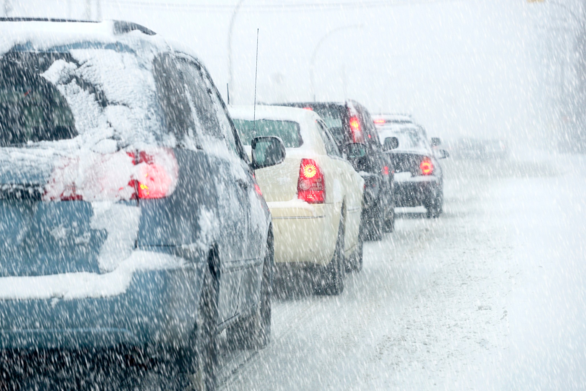
Warmer air coming up from the Gulf of Mexico will translate to a wintry mix into Friday for cities such as Amarillo, Texas. This city will wake up to a fresh coating of snow on Friday morning, potentially creating slippery roads for the commute.
It will also be a dicey morning commute to the north in Wichita, Kansas. A range of 1 to 3 inches of snow will fall during the day Friday, adding to the snow of the same general amount that hit the city overnight. Temperatures will hold steady in the low to mid 30s throughout the day with overnight lows dipping just below this mark.
The snow will be lighter in Kansas City with only light accumulation in the forecast. It will also be slightly warmer with the metro area expected to see a high of 37 degrees on
Friday and overnight lows hovering around the freezing mark.
The weather maker will exit the southern High Plains by the start of the weekend, bringing the chance of snow to a larger swath of the central and eastern U.S. in the coming days. Snow amounts are expected to lighten up as the system tracks into the Ohio Valley by early Saturday, however, an infusion of colder air and more moisture will get the snow machine pumping again by the time that it reaches the Northeast by the end of the weekend.
Another Storm to Follow First Blast of Winter
Those residents of the Southwest and the southern Plains will want to enjoy the break from the stormy conditions while they can this weekend. Another storm system is waiting in the wings to spread snow, rain, and high winds to this corner of the country by the end of the weekend and heading into the early part of next week.
For example, a shot of snow is in the cards again for Albuquerque beginning late Sunday and lasting into Monday. Snowfall up to 6 inches could be the story over this same time period for Santa Fe, New Mexico. The threat of snow will arrive in Amarillo by late Monday.
Monday is also shaping up to be a messy day for Oklahoma City. The capital city is forecast to see a steady rain in the morning hours with moderate temperatures climbing into the low 50s. Falling temperatures into the upper 20s overnight will create the risk of a wintry mix and snow showers after the sun goes down. The winds are also expected to whip up during this time, making for some miserable conditions in the region.
Stay tuned to find out what happens next with this dynamic storm system.
Did you find this content useful? Feel free to bookmark or to post to your timeline for reference later.

January 21, 2024

January 19, 2024

January 18, 2024