Heavy Rain, Flooding, and Chance of Severe Weather Staring Down the Southern U.S.
January 22, 2024
Posted: November 15, 2021 2:10 pm


Temperatures Will Start to Rebound Tuesday Into Wednesday
It would seem as if the last gasp of fall is about over. Temperatures are already plummeting in the eastern states, hinting that December is right around the corner.
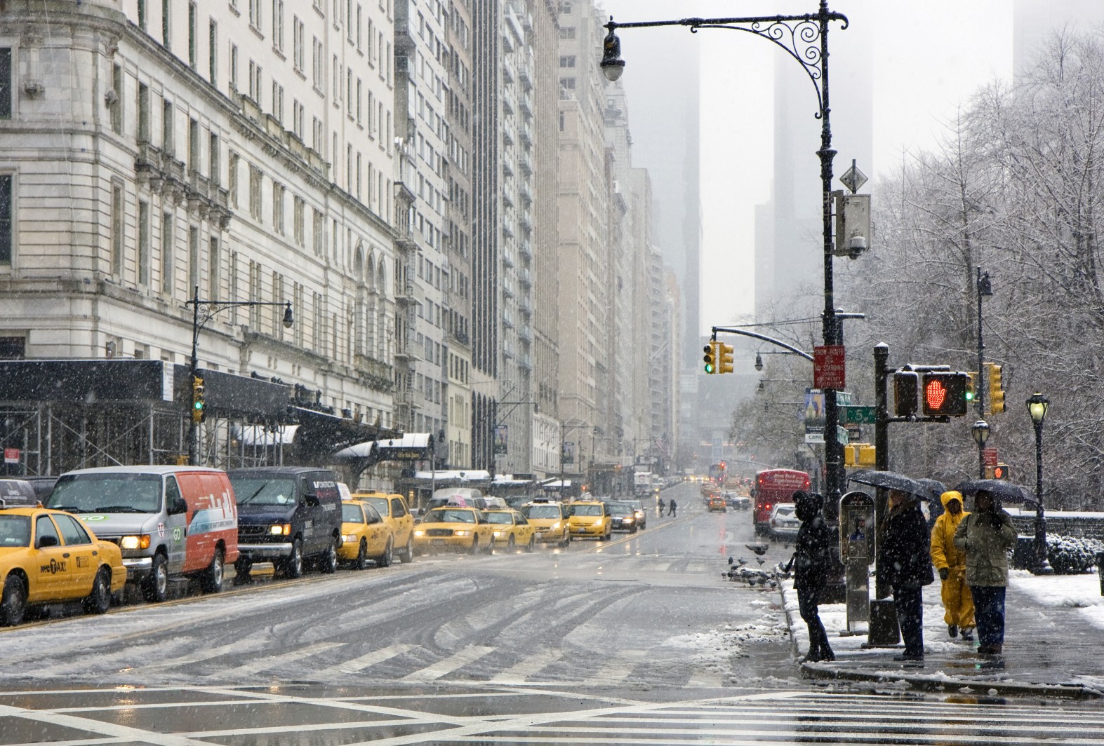
The dramatic temperature swing is being attributed to a southward dip in the jet stream. This movement is bringing in a blast of Arctic air from the north. Along with the shift in temperature, the new weather pattern is also ushering in patches of wintry weather, including snow throughout the Great Lakes and parts of the Northeast.
The change in temperatures is particularly noticeable after last week’s pattern of mild weather. Temperatures will drop up to 15 degrees below average for the second week of November through the Ohio Valley and into the Great Lakes.
For example, Chicago will only settle into the upper 30s on Monday. The average for this time of year is around 50 degrees. Compare this to temperatures in the 70s last week and it is easy to see why some residents are experiencing a bit of weather whiplash. Similarly, Cleveland will also struggle to hit the mid-40s on Monday, representing a shift of about 10 degrees below average.
The weekend brought a rash of scattered snow showers to parts of the Allegheny Mountains along with the Catskills. In addition, residents saw a series of lake-effect snow showers in the areas east of Lake Ontario, Lake Erie, and Lake Huron.
A portion of southeastern New England, including New York City, saw thunderstorms on Saturday evening. One World Trade Center was struck by lightning three different times as the storm rolled in. After flooding parts of Massachusetts, this particular storm system moved offshore by early Sunday.
Those in the Northeast should be ready for one last blast of wintry precipitation or rain on Monday before the region begins to dry out a bit.
It is not out of the norm for these masses of cold air to come down into the Great Lakes and the Northeast during the middle of November. Like this week, this blast of chilly weather is at the hands of an Alberta clipper. This same weather pattern distinguished the middle of last November when snow flurries and temperatures below freezing brought the first taste of winter to the Midwest and the Northeast.
The mercury will also be dropping in the Southeast to start the week. The coldest air of the week will likely occur on Monday. Some areas of Georgia, Alabama, and Tennessee will see temperatures drop 5 – 10 degrees below normal, translating to daytime highs in the 50s.
The Carolinas will also experience a sharp drop in the mercury. For example, Charlotte will barely hit the 60-degree mark on Monday.
By the time Tuesday rolls around, the temperatures will begin to approach normal readings in the Southeast. It will take a little longer for these warmer temperatures to reach the mid-Atlantic and Northeast when it will be Wednesday for the milder weather to return. Some cities in the mid-Atlantic and Northeast may reach as high as the 60s by the end of the day Wednesday.

January 21, 2024

January 19, 2024

January 18, 2024