Heavy Rain, Flooding, and Chance of Severe Weather Staring Down the Southern U.S.
January 22, 2024
Posted: January 27, 2023 12:30 pm


A classic Alberta clipper is gearing up to sweep through the northern Rockies and into the northern and central Plains before finally hitting the Great Lakes in the coming days. A mass or Arctic air will then move in behind the snow, ensuring that it does not melt anytime soon. Here is what you need to know about this wintry forecast, coming in just in time for the end of January.
While many cities in the Northeast are still waiting on the first measurable snowfall of the season, it has certainly felt like winter in much of the north-central U.S. Another snow storm is coming in on the heels of the mid-week system that brought significant accumulation to parts of the Upper Midwest and the Great Lakes.
As is typical with these Alberta clippers, the snow will hit fast and furious from the north as it pushes quickly to the east. This is in contrast to the earlier storm this week that came in from the southwest after originating in the southern Plains.
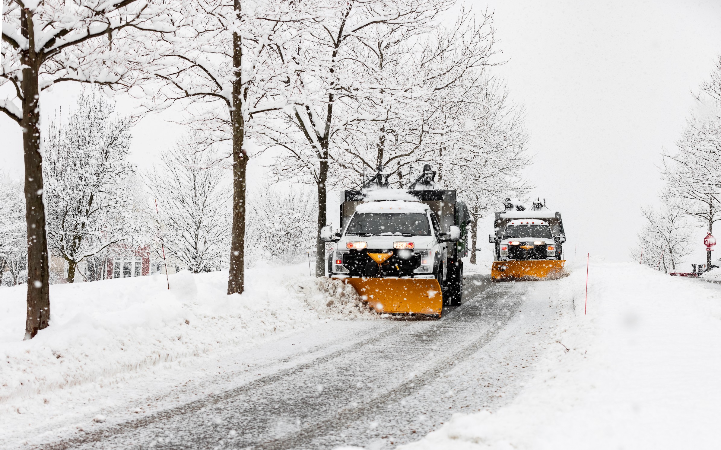
The snow from this particular clipper storm is predicted to fall in a narrow zone stretching from the northern Plains and into the Midwest. The quick-hitting nature of this clipper will mean that road conditions may deteriorate in just hours along some stretches of interstates 80 and 90 by the end of the week.
The storm system will also likely create air travel delays as the snow whips up around the major hubs in Chicago and Detroit. The most likely time frame for these disruptions will be on Saturday. Do not forget to check your flight status if you are headed out over the weekend.
The snow will begin to fall on Friday across western and central Montana before creeping into Wyoming. The line of snow will then move to the east on Friday night, impacting northern and central portions of Nebraska as well as the southern half of South Dakota. Other areas that may see snow accumulation late Friday as a result of the clipper include parts of Idaho, northern Colorado, and the eastern fringe of Utah.
By Saturday, you can expect the snow to move into parts of Iowa and northern Illinois, including Chicago. It will be southern Michigan and northern Indiana next up to see the flakes fly by late Saturday and into Sunday.
While Chicago and Detroit are predicted to see snow this weekend, both of these cities are currently trending below normal for average snowfall by this point in the winter season. For instance, Chicago has only recorded 6.2 inches of snow this winter, well below the average of 18 inches by the end of January. Likewise, Detroit has only seen 11.1 inches of snow, compared to the seasonal average of 22 inches at this point of the season. However, both cities may see significant snow out of the weekend storm, helping to pad the total prior to the end of the month.
Unfortunately for those in New York City anxious for the first measurable snow of the season, this clipper system is forecast to move north before it hits this part of the East Coast. The system will likely move across the St. Lawrence Valley and into Canada by the end of the weekend.
The blast of wintry weather will not be over after the snow moves back into Canada. A mass of bitterly cold Arctic air is forecast to move in behind the clipper system, ushering in the coldest temperature readings since the holiday freeze.
Temperatures may fall to as much as 30 degrees below normal by the end of the weekend in parts of Iowa, Nebraska, Wisconsin, and Minnesota. This means that any snow that falls just prior is likely to stick around for some time. The mercury is predicted to plummet to near zero for a few days in this part of the Upper Midwest and northern Plains.
It will be even colder in portions of Montana, the Dakotas, and Wyoming. High temperatures that do not even crack the zero-degree mark are a possibility by early in the week.
While these readings will certainly feel cold to most people, it will still be warmer than what the area saw over the record-breaking cold of the holidays. In addition, this mass of Arctic air will not be as expansive as its predecessor this year.
Looking ahead to next week, another storm system is expected to bring snow and ice to areas farther to the south, including into Texas. This weather maker may also make it as far east as the Ohio Valley, the Appalachians, and across the Interstate 95 corridor. You will want to stay tuned to the forecast to keep abreast of this potential disruption.
Did you find this content useful? Feel free to bookmark or to post to your timeline for reference later.

January 21, 2024

January 19, 2024

January 18, 2024