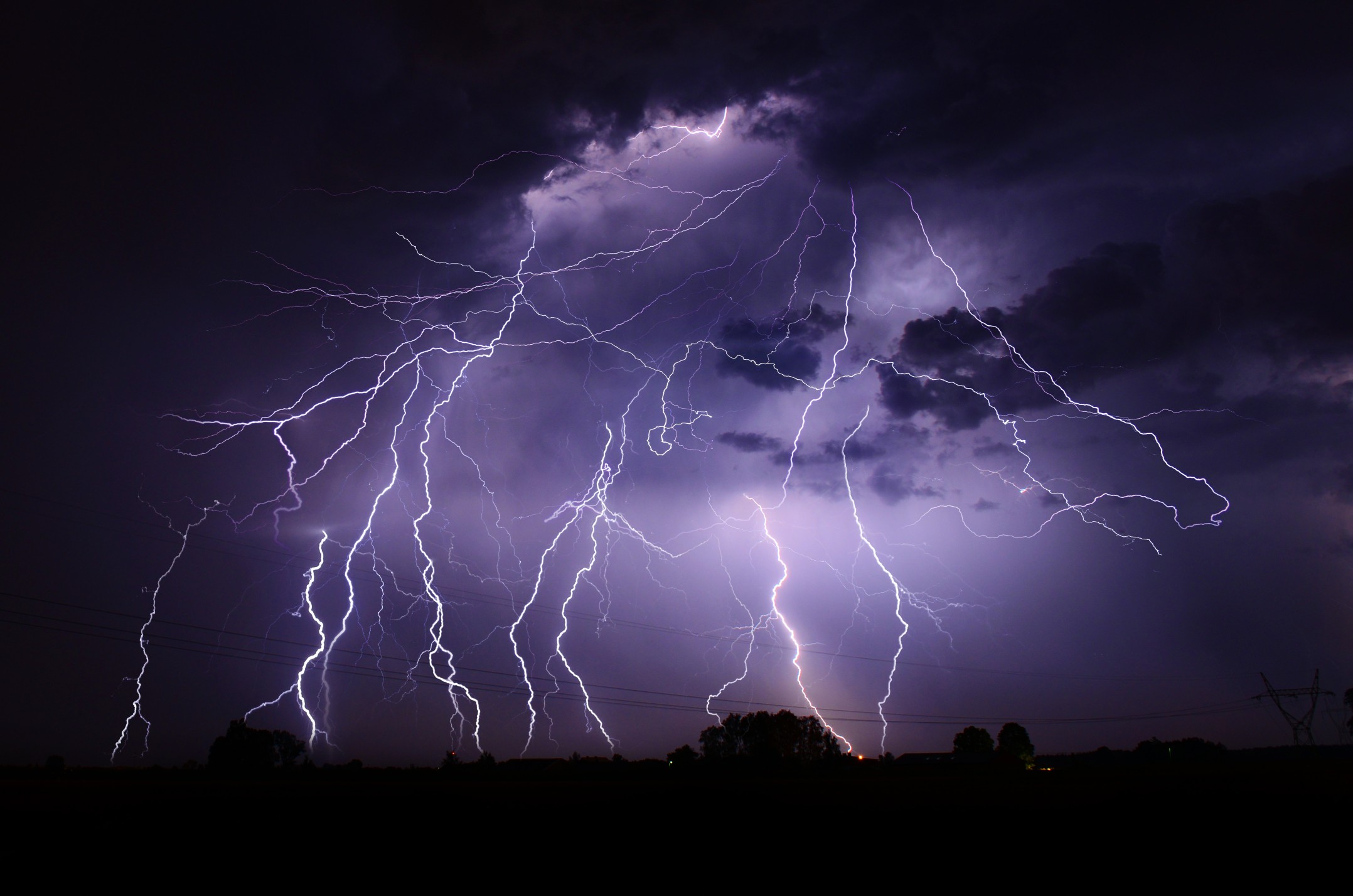
Heavy Rain, Flooding, and Chance of Severe Weather Staring Down the Southern U.S.
January 22, 2024
Posted: January 11, 2024 1:05 pm


It was a stormy start to the week for the Gulf Coast, the Florida Panhandle, and portions of the Southeast. The storms will begin to rage again later this week after a brief break from the action. Is your community going to be impacted? Here is what you need to know about the latest threat.
Looking Back at the Severe Weather to Start the Week
The persistent rounds of severe weather will continue to blast the southern U.S. and up into the East Coast heading into the end of the week, bringing another chance of high winds and flooding events. The upcoming impacts are just another headache in a long line of weather hazards that distinguished the beginning of the work week for the South and up the Eastern Seaboard.
The National Weather Service (NWS) fielded dozens of reports of severe weather on Monday afternoon and into early Tuesday in an area from eastern Texas and into Florida. The Florida Panhandle saw multiple reports of tornadoes after a rash of severe weather on Tuesday morning. Structural damage was reported around the Panama City Beach area after a reported twister tore through the region.
The area of Blue Mountain Beach reported a wind gust of 106 mph on Tuesday morning, likely the result of a tornado. The line of storms created significant travel delays and widespread power outages throughout the Gulf Coast and beyond.
A powerful group of storms pushed into Georgia on Tuesday afternoon, prompting a tornado warning for the Atlanta metropolitan area. The impacts of this storm system then pushed into the Carolinas to close out the day, generating heavy rain and wind gusts landing between 60 and 70 mph.
The periods of heavy rain were continuing to impact the Appalachians and the mid-Atlantic when the sun came up on Wednesday.
New Storm System on Deck for End of the Week
A new storm system is waiting on deck to impact the Gulf Coast and Southeast heading into the weekend. While the track of this storm can shift a bit between now and then, it is looking more and more likely that the same area that saw the early week impacts will once again be in the crosshairs for potentially dangerous storms.
The threat will fire up late Thursday and into Friday morning across the Gulf Coast. Potential impacts of this weather maker include torrential rainfall and hail. There is also the chance of isolated tornadoes in an area expanding from Louisiana and into Georgia, including the cities of New Orleans and Pensacola.
For instance, the height of the storm for New Orleans will likely be Friday morning with some clearing on tap for the later in the day. Winds will be out of the west at 20 to 30 mph with the potential of heavy rain.
The rain will linger throughout the day in Atlanta. While the risk of severe storms will not be as high as the Gulf Coast, the Peach City cannot rule out a stray thunderstorm firing up at some point on Friday. Winds will be out of the southeast at 10 to 20 mph with highs hovering at about 60 degrees.
The second round of storms will lead to an increased risk of flash flooding, particularly for communities that got hit with heavy rain at the beginning of the week. Forecasters are calling for another inch or two of rain for the region, sending water flowing out of small creeks and streams that cannot handle the additional moisture.
After a slight drying out for the weekend, yet another shot of heavy rain and severe weather is on the table for the early part of next week for the South. Stay tuned as the forecasting models become more clear.
Flooding Concerns Heading Up Into the Mid-Atlantic and the Northeast
While the severe weather is not predicted to impact the Appalachians, mid-Atlantic, or the Northeast this weekend, this region will still be at risk of flash flooding. More moisture is on the way for this corner of the country beginning late Friday and heading into Saturday.
This region picked up widespread amounts of rain ranging from 2 to 5 inches on Tuesday and Wednesday, making the ground more saturated than is typical. With another 1 to 3 inches of rain in the forecast for this weekend, it is easy to see how flash flooding can quickly become an issue in the coming days.
It is not unusual for larger waterways to take up to a week or two to overflow as the water takes time arriving from the smaller tributaries. Homes and businesses located along major waterways will also be at risk of flooding. The recent snow in the region will complicate the issue further as it begins to melt and add to the water flowing into the rivers.
The East Coast will also be dealing with the arrival of Arctic air into the region late in the weekend. This will translate to bitterly cold temperatures.
Did you find this content useful? Feel free to bookmark or to post to your timeline for reference later.

January 21, 2024

January 19, 2024

January 18, 2024