
Heavy Rain, Flooding, and Chance of Severe Weather Staring Down the Southern U.S.
January 22, 2024
Posted: January 28, 2023 3:00 am


It has been an unseasonably warm start to the new year across much of the north-central U.S.. However, that is all about to change in the coming days when a mass of Arctic air slides down from the north, bringing in some of the coldest temperatures that the region has seen since the Christmas cold snap.
You can expect the frigid air mass to begin its descent beginning early Saturday. The weather will first start to change on Friday when an Alberta clipper storm system delivers a quick-hitting burst of snow to a large area of the northern U.S. The bitterly cold air is then forecast to move in behind this snow.
The mercury will start to plunge in the overnight hours on Friday into Saturday across portions of northern Minnesota and North Dakota. Overnight lows will drop down to 15 – 20 degrees below zero in the coldest areas. While this is certainly cold by most standards, the rush of Arctic air is not likely to break any historic records. The temperature would need to hit between 30 and 40 degrees below zero for records to fall.
Although the mercury will inch up slowly when the sun rises on Saturday, some of the northernmost locations may struggle to climb above the zero-degree mark for a high. This is a dramatic departure from the normal highs in late January in the teens and the 20s.
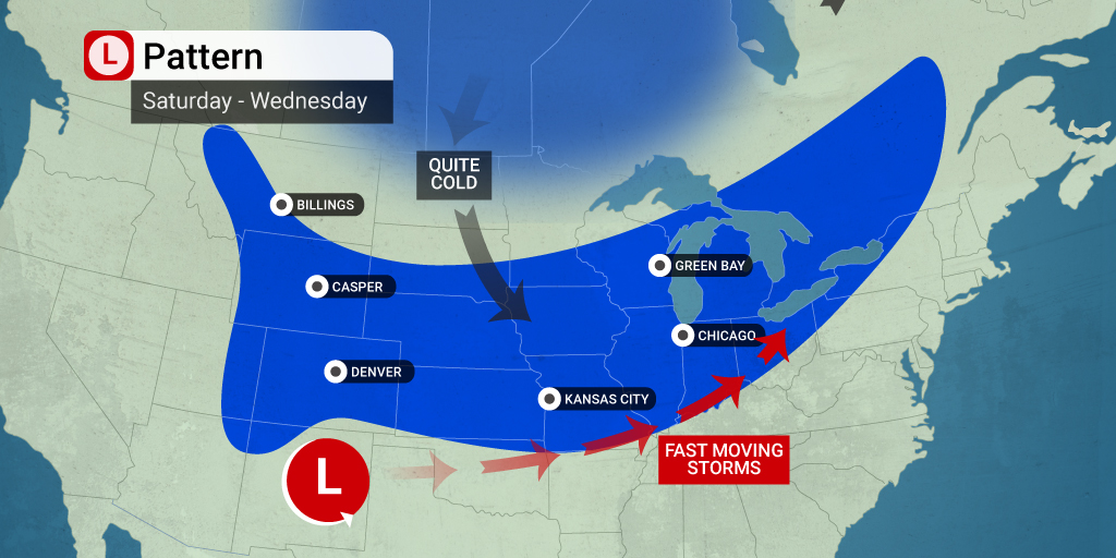
The cold air mass will expand in the overnight hours of Saturday into Sunday. The presence of wind will keep the temperatures from falling into record-breaking territory. This is because the wind keeps the coldest air from falling to the surface of the ground. However, this wind will trigger real feel temperatures that could be life-threatening.
Sunday will bring high temperature readings that stay below zero across parts of Montana, the Dakotas, and northern Minnesota. Temperatures in the teens and low 20s for a high will crawl as far south as Kansas. You will want to bundle up if you are headed out for the AFC Championship Game between the Kansas City Chiefs and the Cincinnati Bengals at Arrowhead Stadium in Kansas City.
The winds will start to break down on Sunday night when high pressure builds over the area. This will usher in even colder temperatures. The most frigid air will be anchored over the northwestern corner of Wyoming, including Yellowstone National Park.
It will also be dangerously cold in International Falls, Minnesota, a part of the country that is no stranger to freezing temperatures this time of the year. While the town is accustomed to readings well below zero in January, it has been unseasonably warm so far this year.
The cold air will eventually move into the Great Lakes region, boosting the level of ice concentrations across these lakes. Although the area has seen its fair share of lake effect snow this year, a lack of persistently cold air has suppressed the formation of ice.
This blast of Arctic air is not predicted to stick around for long. Temperatures will begin to moderate by the middle of the week.
Did you find this content useful? Feel free to bookmark or to post to your timeline for reference later.

January 21, 2024

January 19, 2024

January 18, 2024
