Heavy Rain, Flooding, and Chance of Severe Weather Staring Down the Southern U.S.
January 22, 2024
Posted: January 24, 2022 12:17 pm


Another round of Arctic air is already making its way into the Upper Plains on its projected journey through the Midwest and into the Northeast. This new injection of frigid air will come on the heels of the coldest temperatures of the season that happened last week for much of the U.S.
This week’s cold temperatures are simply a continuation of what has already been in place for a large area of the nation. New York City saw the mercury plummet into the teens overnight Thursday and Friday. Farther to the north, Boston dropped below 10 degrees before the sun came up on Friday. However, the coldest recordings were felt in the Upper Plains and Midwest, with overnight lows to close the week measuring -20 degrees below zero.
Nobody will blame you if you are ready for warmer weather. However, it is not likely to happen this week as another mass of cold air is dipping down from Canada. The cold will be accompanied by two different Alberta clipper weather systems, bringing a mix of wintry precipitation along with the freezing temperatures.
This cold air may expand as far south as Florida by the middle of the week. The northern reaches of the Sunshine State and the Gulf Coast are forecast to see overnight lows drop into the upper 20s. Cities that may see this frigid air include Jacksonville, Florida and Mobile, Alabama.
In advance of the arriving cold weather mass, the National Weather Service (NWS) out of Jacksonville issued a freeze warning for an area stretching from Dade City, Florida up into the Douglas and Jesup area of Georgia. In addition, there is a freeze watch for places such as Ocala, Florida for Monday morning. What is most worrisome about this cold weather is that the temperature may drop enough to kill sensitive crops such as the famous orange trees.
While it will certainly feel bitterly cold to those in Florida and along the Gulf Coast, the coldest of the temperatures will be saved for the Upper Plains. Temperatures will once again drop into the -20s on both Monday and Tuesday night throughout the northeastern corner of North Dakota and into the northern tier of Minnesota. The winds will send the real feel temperature down even further.
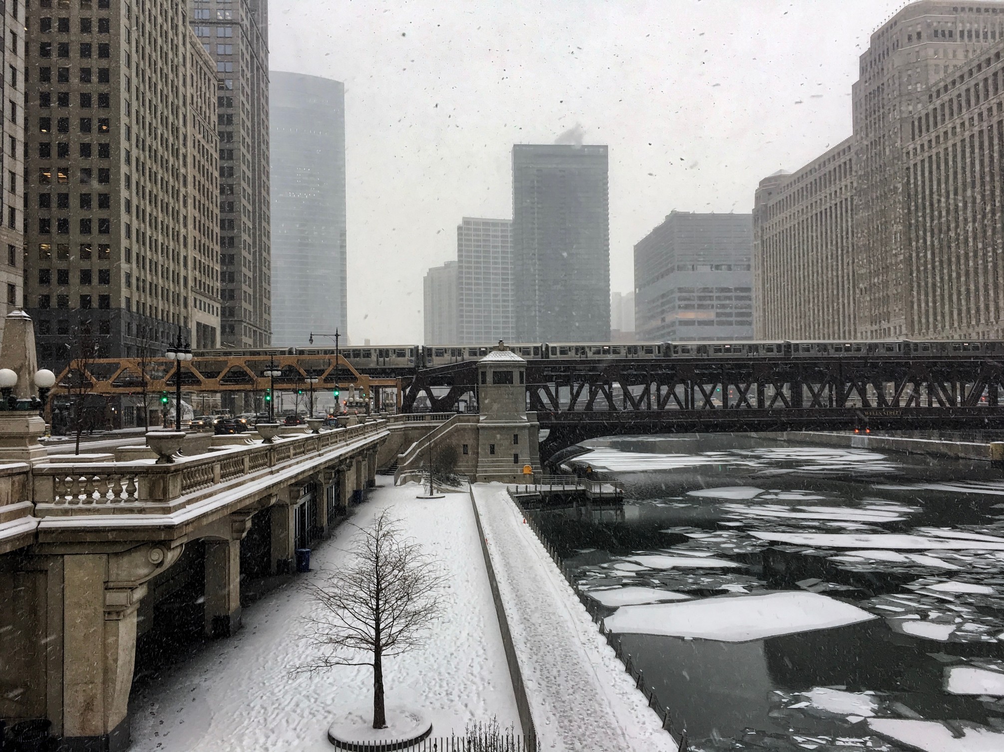
Chicago is forecast to see Tuesday night low temperatures below zero degrees. This would be approximately 20 degrees below average for this time of the year in the Windy City.
The unseasonably cold temperatures are predicted to stay in place throughout the Northeast for the duration of the week. The coldest drop in the mercury is forecast to happen on Wednesday when the bitter cold from the Midwest expands to the east. Much of northern New England is anticipated to see overnight low temperatures on Wednesday nose diving into the negative teens.
Both New York City and Boston will see sharply colder temperatures in the middle of the week. The higher terrains in the Appalachians and the Allegheny Mountains will also experience this deep temperature plunge to a great degree.
The temperatures are predicted to stay below normal in the East for the entirety of the week and into the weekend. However, some parts of the northern Plains and Upper Midwest may see a slight reprieve from the unseasonably cold weather.

January 21, 2024

January 19, 2024

January 18, 2024